Health Equity

doctor listening to child’s heart with a stethoscope and a map with red squares on it

Never before has there been such a focus on equity as it relates to health—especially to ensure that health and human services organizations address the social determinants of health and gaps in social and racial equities. These inequities involve poverty, age, living conditions, and education, and it's important to understand the connection between where things are happening and where service gaps exist. This is where geographic information system (GIS) technology comes in. A location-based strategy can help you create an effective approach to collecting data; performing analysis; allocating resources where they're needed most; communicating with decision-makers; and, ultimately, achieving health equity.

Address population health management

To deliver programs and services that align with needs, it is critical to understand what your community's makeup is today and what it will be in the future. Using demographic, socioeconomic, and lifestyle data, you can build a more complete picture of your community, understand health disparities, analyze public health trends, and prepare for future needs.

dashboard with at-risk population metrics and a map

Generate community health assessments

Your community health assessments should not simply fulfill a legal requirement; they should be actionable. They should give you insight into who needs the most help and where you can make the most impact. Incorporating GIS will give you this new perspective. You will be able to run spatial analysis to see hot spots, determine where you should allocate resources for the greatest impact, understand how you can lead health interventions, and decide how you can better serve patients and prepare for their needs.

map with planning information

Citizen engagement

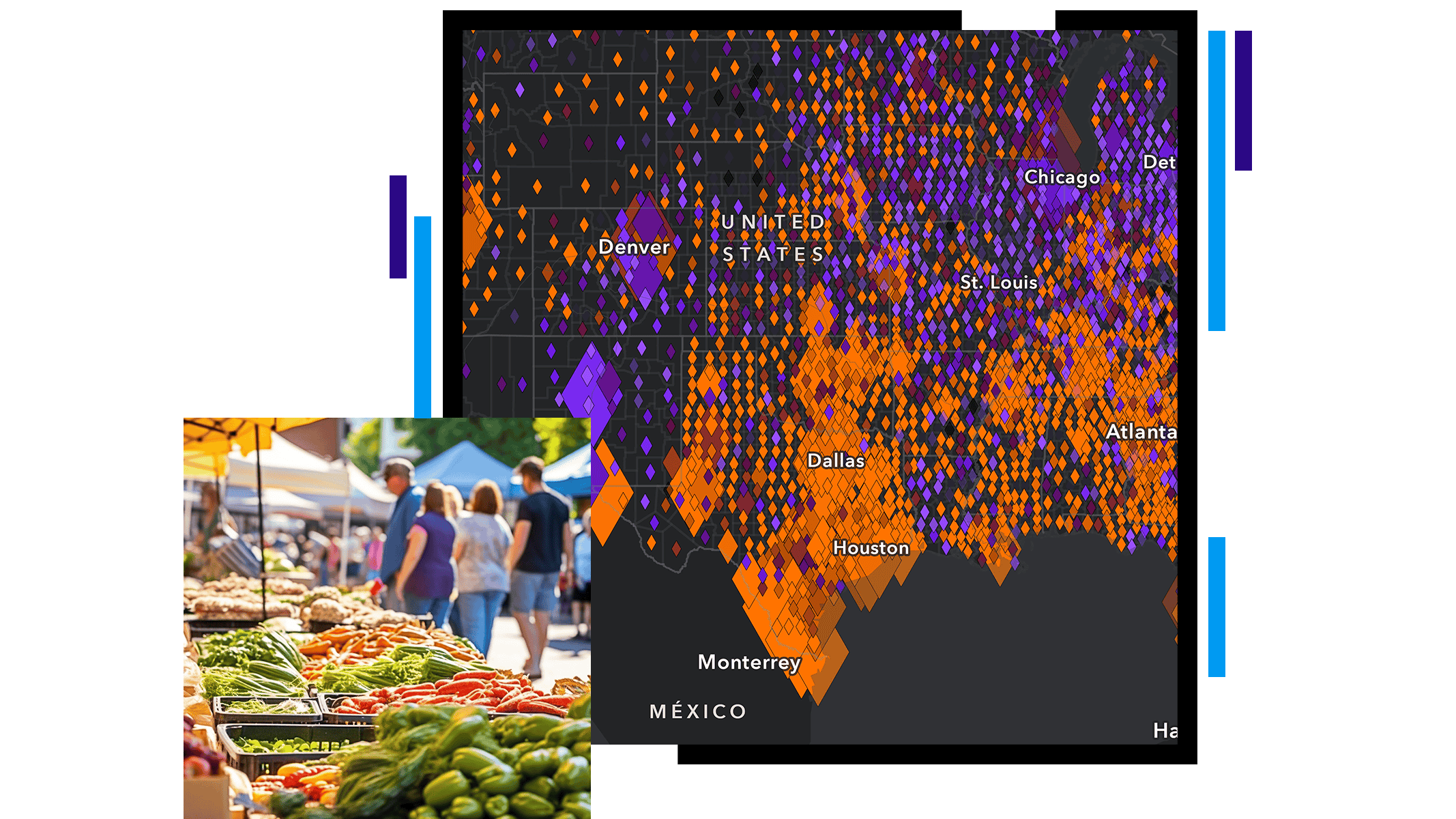
Building a community requires two-way communication. With GIS, you can share information effortlessly, in an easy-to-understand format to influence health. Provide residents with an accurate snapshot of their community's health, nearby services, and authoritative information. Inform the community with maps of available resources—parks, fresh-food markets, services, health insurers, and more. And more importantly, elicit citizen participation and feedback for community-based key initiatives.

map with social vulnerability index

Performance monitoring

Those who are successfully using GIS to address health inequities are using readily available applications and dashboards that improve situational awareness, allow users to shift to iterative policy making, and address issues in real time. These apps allow organizations to set baselines, monitor progress in at-risk areas, and be transparent with the community on their performance.

Community performance dashboard with health metrics

EBOOK

Advancing health equity with GIS

Ongoing crises have revealed health inequities in communities across the United States. GIS technology helps pinpoint these disparities and provides organizations with actionable data to address them. In this ebook, you will learn how local governments leverage location intelligence to advance health equity in their jurisdictions.

Access the ebook
A healthcare worker examining a hanging bag of intravenous fluid overlaid with a blue, green, and gray cluster map

Article

Helping schools navigate the pandemic

Esri partner Epistemix helped the Riverview School District in Pennsylvania make better-informed policy decisions.

Read the article

Products and solutions for health equity

Previous
Next

Contact sales

Contact us

Outside the United States

Connect with the Esri health & human services team