Public Health Preparedness

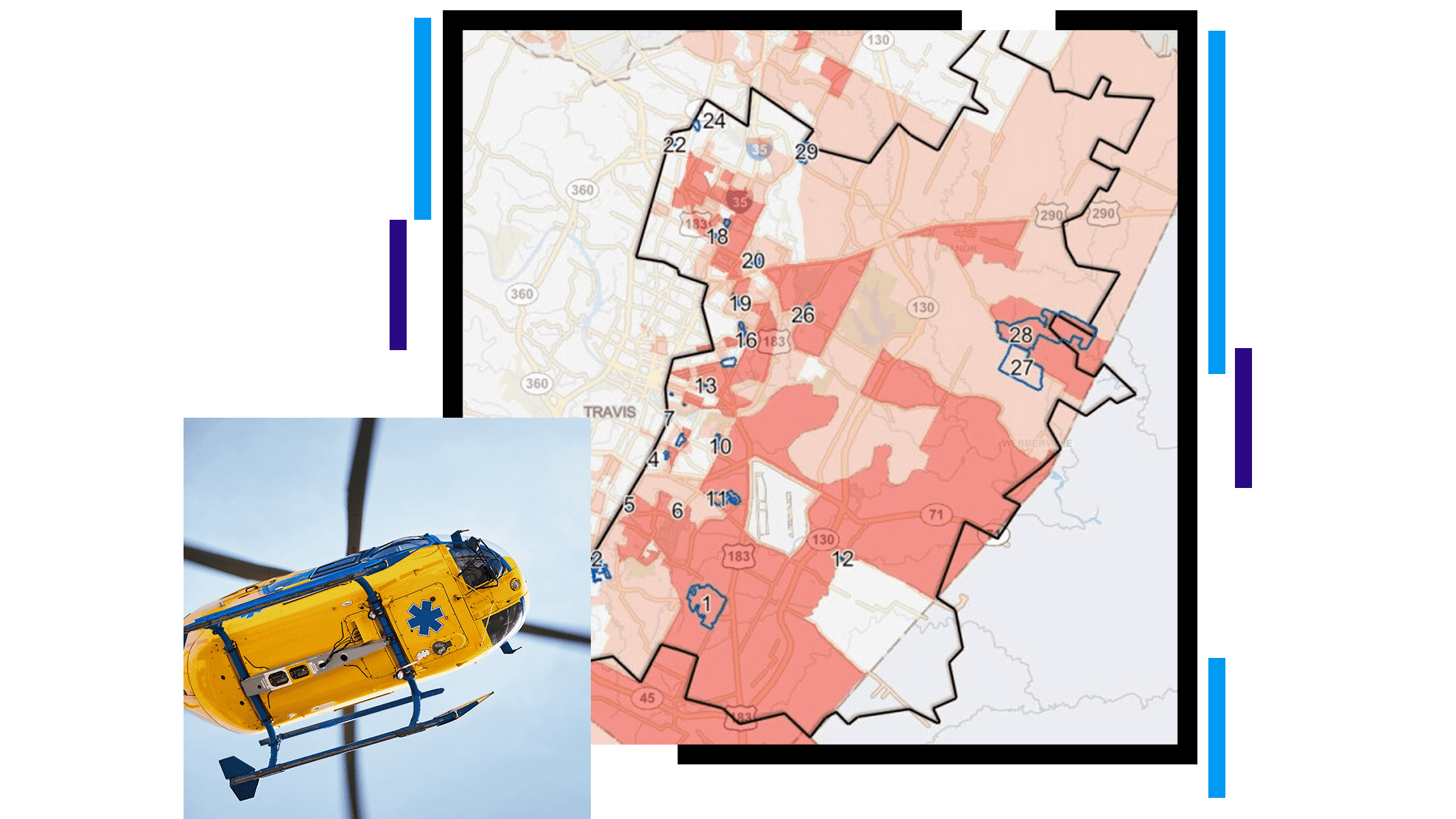
The underside of a yellow helicopter and a read and brown map with a large area outlined in black

Geographic information is the common denominator for public health preparedness solutions because location data is essential to every phase of planning, response, and recovery. GIS scales to all sizes of emergencies and disasters. It helps state and local governments monitor public health crises, guide emergency response, and save lives.

Emergency preparedness gets a boost from GIS tools

Health departments can make major inroads by embracing GIS data, models, communication and engagement hubs, and location-centric applications.

Track disease

Disease surveillance is the first line of defense in keeping communities healthy. Knowing where outbreaks happen helps identify the source.

GIS enhances response systems by helping people understand disease patterns, share information easily, and make data-driven decisions by combining and mapping different data sources.

 A dashboard showing vaccinations by ethnicity through charts, graphs, and a heat map

Situational awareness

GIS integrates and analyzes real-time data to provide a dynamic, location-based view of unfolding public health emergencies.

By revealing risks and trends, it enables decision-makers to respond and recover quickly, allocate resources efficiently, and improve coordination across agencies.

A dashboard displaying charts and graphs relating to family planning sessions

Resource allocation

A high-impact response and recovery plan requires the right resources in the right place at the right time.

GIS can forecast surges in patient needs and optimize resource allocation, so you can deliver supplies and services where they are needed most. Mapping and analysis can expose gaps in capacity, show at-risk populations’ needs, and aid in effectively distributing supplies.

A dark map with light blue data points and connections depicting a vaccine distribution scenario

Decision support

The key to using GIS effectively in health care is to build it into a public health emergency or hospital preparedness program.

Data-driven decision-making is about using authoritative data to answer fundamental questions at a moment’s notice. GIS is crucial because so many questions hinge on location data.

An incident status dashboard showing numbers of oopen shelters, road closures, weather, and other incidents

Communication and collaboration

Every health crisis requires support from a wide variety of disciplines, including public safety, health care, human services, emergency management, and even the public. GIS supports a range of communication and collaboration efforts with tools such as dashboards, which can be shared easily.

Dashboard showing status for state and tribal land in Arizona

ESRI BLOG

How do we equitably distribute the vaccine?

Leaders can use GIS to achieve equitable, speedy vaccine distribution.

Read the blog article

Products and solutions for preparedness

Previous
Next

Contact sales

Contact us

Outside the United States