
Esri and Open Source
Explore more than 500 geospatial projects showing how people are thinking spatially and solving problems together.

ArcGIS—a key part of the research toolkit in every domain
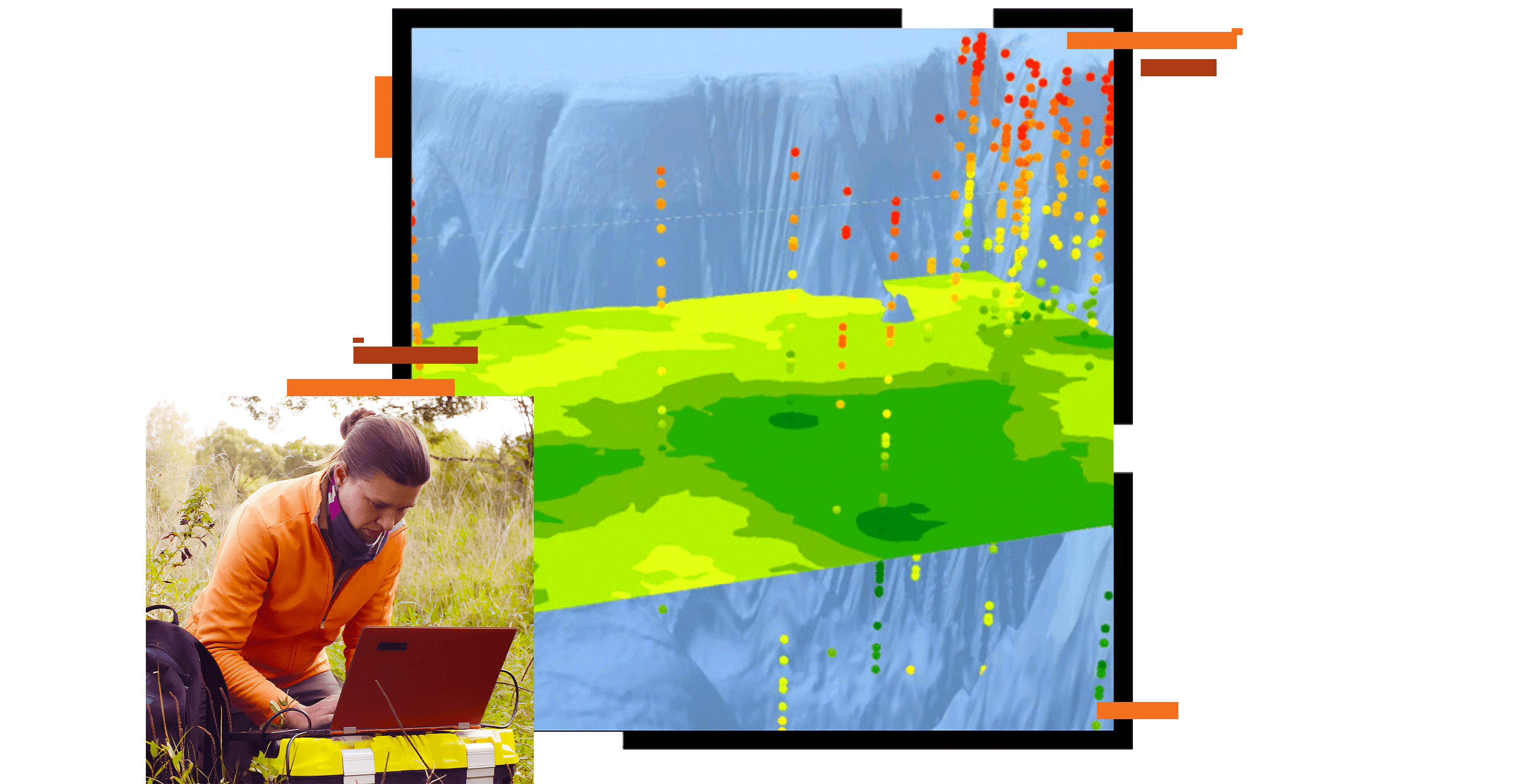
ArcGIS provides data integration, analysis, visualization, and storytelling capabilities that are uniquely engineered for data with a spatial component. Through collaboration with the research community, Esri constantly refines our tools to build on advances in theory and methods in spatial analysis, cartography and visualization, data science and computer science, and many other areas. Founded as Environmental Systems Research Institute, Esri spends about twice what the average public company spends on research and development. Our 11 dedicated research centers are at the leading edge of global innovation.
The Esri Innovation Program (EIP) encourages innovative educators and students to advance geospatial science in research and education, aligned to industry trends and workforce needs.
Explore more than 500 geospatial projects showing how people are thinking spatially and solving problems together.

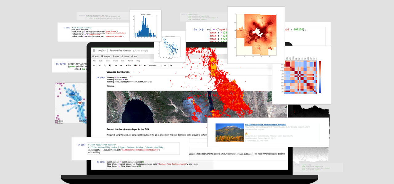
Discover everything you want to know about ArcGIS. Access tool references, code samples, tutorials, answers to frequently asked questions (FAQs), and more.
Find documentation of the domain of geographic information science and associated technologies (GIS&T).
Discover the value of GIS for these roles.
Stay up to date on the latest GIS lessons, news, and best practices for teaching with geospatial technology.