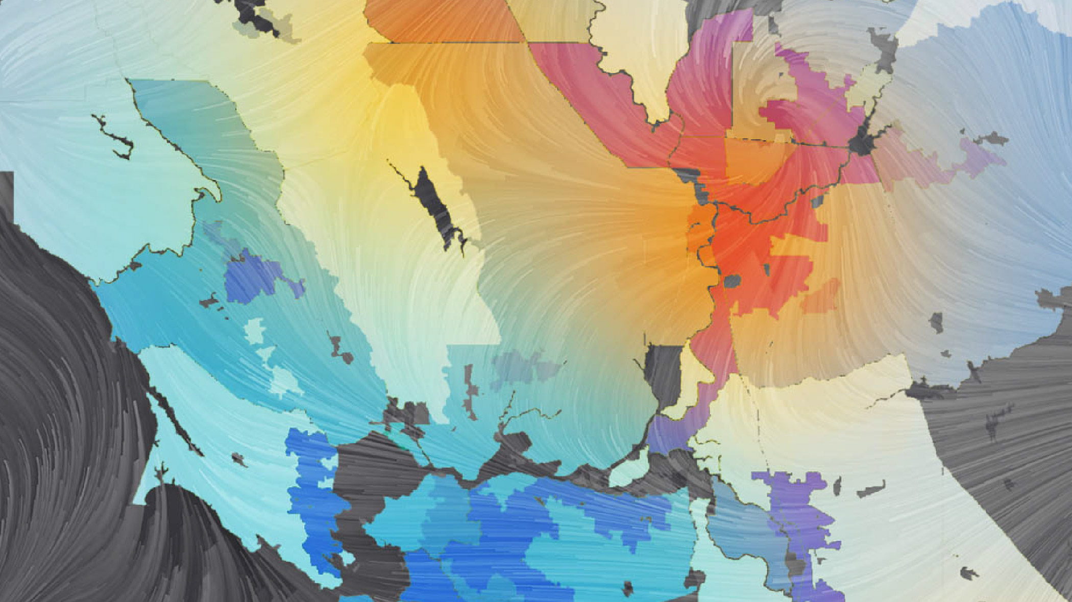
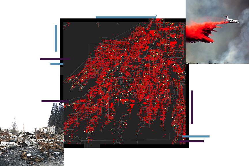
Responding to disasters in hours, not days
When disasters strike, and losses occur, insurance companies understand that there’s nothing more important to their customers than recovering from losses. In these crucial moments, families rely on their insurers to respond as quickly and efficiently as possible. The challenge is identifying, and prioritizing response efforts. Discover an innovative approach to disaster response and claims management that was forged during the costliest storms in recent years. Using Esri technology as a foundation, the National Insurance Crime Bureau (NICB) and Vexcel Imaging teamed up to provide the deploy one of the largest imagery collection applications in recent years.
Make the most of every location.
Location impacts risk assessment, quotes, claims, and client networks. Successful insurance companies go beyond static figures and spreadsheets to get insight into an area's opportunities and risks. Use maps and spatial analytics to improve marketing campaigns, distribution, and customer service.
Response management
Be proactive—plan for claims handling prior to catastrophic events.
Visibility and transparency
Quickly visualize events with advanced analytics to prioritize response execution.
Investigation and compliance
Effectively serve customers, triage claims, and monitor fraudulent activities by embracing location-based intelligence.
Strengthen all aspects of the insurance business.
Empower everyone to use smart maps and spatial analysis in ArcGIS software to understand opportunities and risks.