Skip to Content

Property Value Analysis

Accurately determine and visualize property values with GIS

Explore, enrich, analyze, and visualize values

Map and analyze property values with GIS to improve property value assessments. Use location analytics to enrich your data and visualize the results to uncover trends and patterns. You can quickly detect errors and outliers, refine valuation models, and deliver more accurate data to your stakeholders and taxpayers. Quickly map price per square foot, comparable properties, and sales ratios to improve efficiency and property analysis.

Spatial analysis and geoenrichment improve value analysis

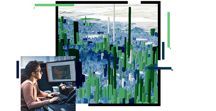
Spatial analysis and modeling

Improve your valuations and analysis with spatial statistics. ArcGIS spatial analytical capabilities include geographic weighted regression, ordinary least squares, forest-based classification, artificial intelligence, and machine learning to support your existing and new models.

Data enrichment

Use location to augment your property characteristics data with geoenrichment. With ArcGIS GeoEnrichment Service you can append additional property characteristics to your data, improving data quality, analysis, and valuations that are defendable, fair, and equitable.

Visualization and mapping

Use ArcGIS mapping capabilities to easily visualize trends and patterns in your valuation data. Understand how location affects value. Use charts, graphs, and maps that work together to deliver insight and improve your data by detecting errors and outliers.

Improved field operations

Maximizing productivity for field personnel is centered around location. Esri's location technology enables local government to locate staff, assign work, and route staff throughout the day. With a user-friendly solution that requires little to no training, staff can now reduce errors, boost productivity, and save their organization money.

Article

How assessors are using ArcGIS Dashboards

Governments are using dashboards to get more out of their data. See how assessors can use this tool for presenting operational and analytical data.

Read the article

Products and solutions for value analysis

Previous
Next

Contact sales

Contact us

Outside the United States

Connect with the Esri land administration team