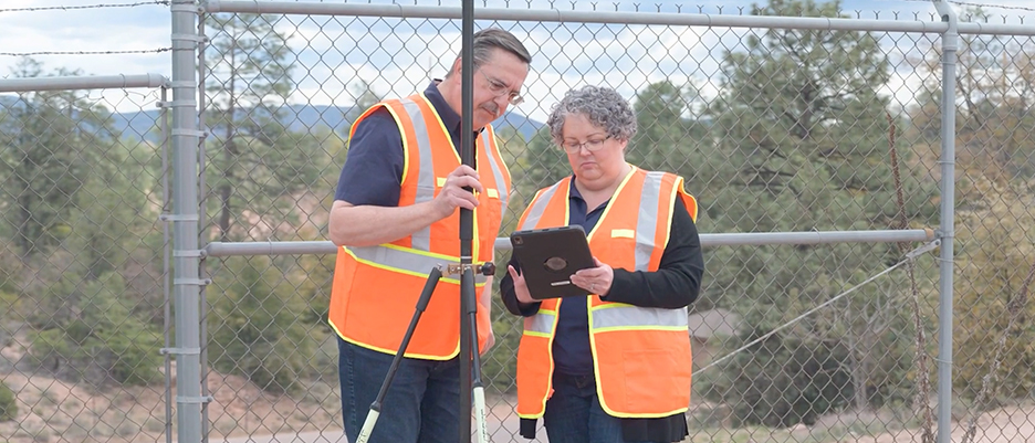
Small and Rural Systems

Mapping made easy

Person in a yellow safety vest next to a fire hydrant and a map of water infrastructure

GIS provides a foundation for your work

Maps are crucial to safe water, sewer, and stormwater services. Digital maps let crews view and collect data on mobile devices, reducing paper use and data entry, streamlining workflows, and making it easy to share information. With this Esri ebook, learn how GIS technology enables an intelligent water system.

Access the ebook

Discover resources for water utility workflows

Collect data

Start mapping your system by collecting data in the field. Easy-to-use applications help you build maps and populate your asset registry, supporting workflow efficiency.

Learn about ArcGIS Field Maps
A mobile device displaying a map with a blue dot in the center

Support asset management

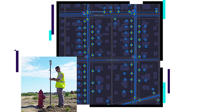
Assets are spatial—they all have locations, and every location has a story to tell. Using location, utilities discover patterns and trends that simple reporting cannot reveal, improving asset management results.

Download the ebook
A desktop computer screen displaying metrics and a map with multicolored areas and dots dispersed across it

Gain operational awareness

Web maps and apps connect staff inside and outside the office. Dashboards display operational views of work, specific to the user's needs. Seeing mobile activities in real time improves workflows, resulting in more work completed in less time.

Download the operations ebook
A laptop computer displaying a field data dashboard with metrics and a map with many green dots

Industry blog

Boosting efficiency with data-driven decisions

A growing water district in Texas modernized operations, resulting in increased customer satisfaction and employee morale.

Read the blog post

Green Valley Water optimizes GIS

Leveraging ArcGIS with new technology has enabled Green Valley Water to strategically maintain, operate, and manage its wastewater collection system.

Two people wearing orange safety vests standing outside beside a chain-link fence sharing a tablet. A play button overlaid on the image indicates that the video can be played by clicking on the image

Solutions for small and rural water systems

Previous
Next
Discover more solutions

Contact sales

Connect with the Esri water utilities team