GIS for environmental planning and management
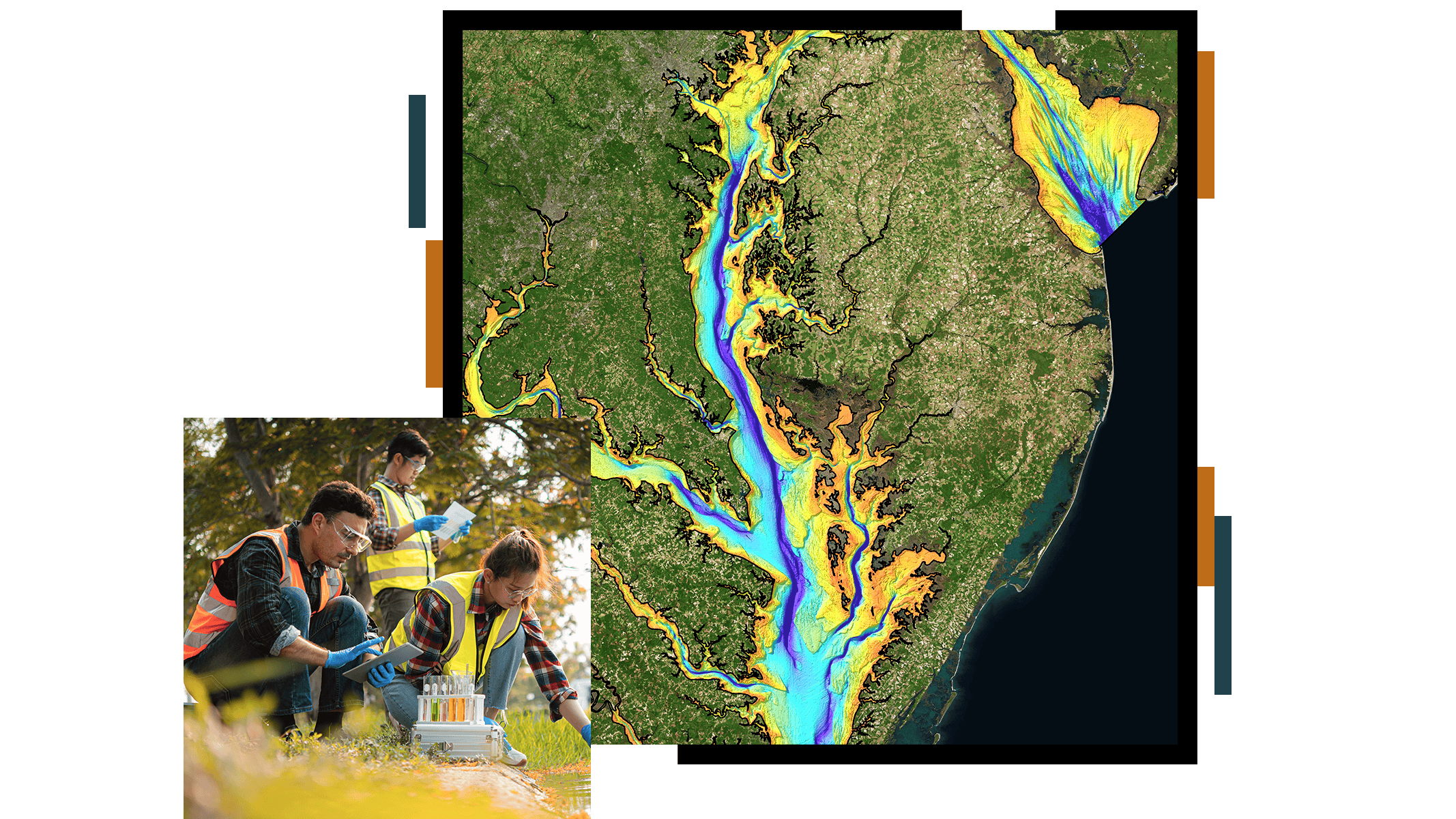
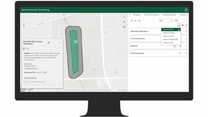
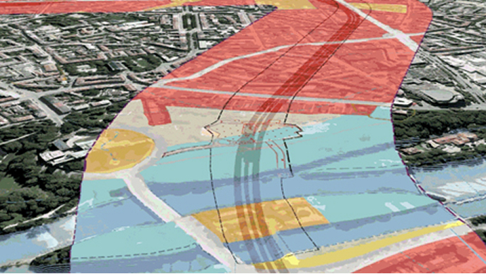
Environmental professionals are spearheading efforts to create a more sustainable and resilient future. Every environmental issue has a geographic component: coastal erosion, contamination, pollution, urbanization, desertification, habitat loss, invasive species, and deforestation. Geographic information system (GIS) technology is a powerful tool to organize, analyze, manage, and visualize geospatial data for due diligence, site assessment and remediation, environmental restoration, and ecological modeling.
Esri’s ArcGIS can help environmental professionals:
- Mitigate impacts and maintain compliance.
- Ensure environmental equity.
- Monitor assets in real-time.
- Foster a healthy green infrastructure.
Esri experts will be participating in the following sessions:
The Geographic Approach: Revolutionizing Transportation Planning
May 8, 11:15 a.m.–12:45 p.m. (MT)
Predicting Wetland and Stream Mitigation Needs for TxDOT Transportation Projects
May 9, 12:15 p.m.–12:45 p.m. (MT)
Discharge Distance Determination and Possible Interaction with WOTUS Jurisdiction Waterways
May 10, 11:15 a.m.–11:45 a.m. (MT)