Skip to Content

Right-of-Way Mapping and Management

The geographic approach

Protect, enforce, and maintain right-of-way with GIS

Download the ebook

Reimagining right-of-way management

How does GIS help manage right-of-way?

In an increasingly developed world, GIS provides organizations with the necessary tools to protect, enforce, and maintain the limited space available to support critical infrastructure.

Transform right-of-way inventories and maps

With an accurate inventory of rights-of-way mapped with GIS, stakeholders can quickly access critical information on any device.

Operationalize planning

GIS provides robust visualization and reporting capabilities to encourage two-way communication, limiting project delays.

Reduce acquisition impacts

GIS provides real-time negotiation data for updating costs, scheduling projections, and demonstrating agreement with regulatory requirements.

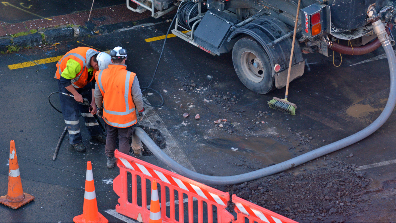
Improve safety, operations, and compliance

GIS improves permit management and compliance demonstration through real-time data capture, analysis, and reporting.

Property map

Prepare for infrastructure investments

Integrating right-of-way data into a GIS environment maximizes the performance and potential of real estate assets.

Right-of-way webinars

Ensure your organization is ready for capital investments by using GIS to protect, enforce, and maintain the right-of-way. Join Esri’s team of experts in one of these upcoming webinars as they bring you the GIS information you need to know.

View upcoming webinars
Large highway system intersection

Download the right-of-way ebook

Organizations are rethinking their use and management of right-of-way as they prepare for the next generation of infrastructure. Discover the four ways you can use GIS to empower your right-of-way.

Download now

Contact us

Outside the United States