Skip to Content

Transportation Right-of-Way (ROW)

Map and monitor roads and highways with GIS

A better way to manage properties

Map and monitor transportation right-of-way data with GIS to access critical information from any device, anytime. Pinpoint asset locations for construction or permitting. Access, visualize, and analyze assessors' data plus multiple listing services to maintain precise property information. Optimize revenues from transportation leases to better supervise vegetation management within rights-of-way.

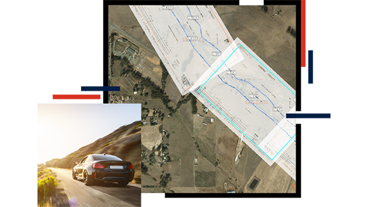
Property acquisition

A key part of right-of-way management is acquiring or relinquishing properties. Using GIS to link directly to assessors' data and multiple listing services generates precise property valuation data for better reporting. Gain an accurate understanding of property acquisition and valuation trends to understand where you can advance the value properties.

Property management

The maps and spatial analytics in GIS help staff better understand the properties you own and manage. Visualizing and monitoring right-of-way utilities and critical right-of-way assets, including drainage and culverts, provide a complete picture that strengthens coordination with internal and external stakeholders.

Maintenance

Managing transportation rights-of-way is more than just property management—rights-of-way need to be protected, enforced, and maintained. Highway landscaping and design are an integral part of maintaining public aesthetics. GIS helps you ensure that right-of-way assets are in good condition and vegetation is cleared.

How GIS helps manage right-of-way

By integrating right-of-way data into a GIS environment, GIS technology allows you to maximize the performance and potential of real estate assets to protect, enforce, and maintain land.

Explore additional resources
A person in a yellow safety vest and hard hat holding a laptop and looking away into the sunset, with a crew in safety vests repairing a road with heavy equipment in the background

Contact sales

Connect with the Esri transportation team