Spatial analysis and data science
Leverage the power of spatial analysis and data science on demand and at scale to find patterns, improve predictive modeling, and gain an edge.

Produce clean, smart energy with GIS

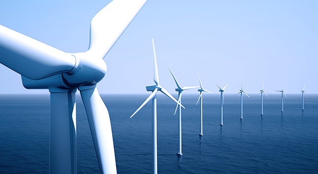
GIS allows you to add all influencing factors to your wind energy projects: wind energy potential, land use, population density, distance to road, slope, biodiversity, regulatory requirements, and distance to transmission lines. Unite all the information you need to design, build, and efficiently and safely operate wind energy facilities.
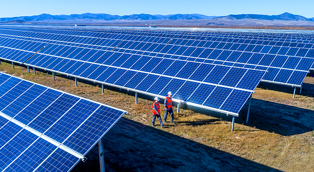
GIS applies across the solar energy business, from mapping energy potential to commercial analytics. Leverage GIS to understand opportunities; drive site selection; and support the design, visualization, and public engagement processes. Use GIS to bring your projects to life and engage with various stakeholders.
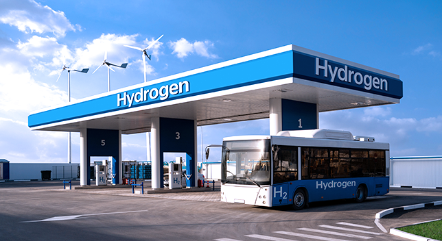
GIS modeling is used heavily in hydrogen infrastructure, demand, market, and resource analysis. From looking at hydrogen potential from renewable energy sources to infrastructure and consumer demand, GIS enables you to consider several multivariate scenarios to produce optimal business strategies.
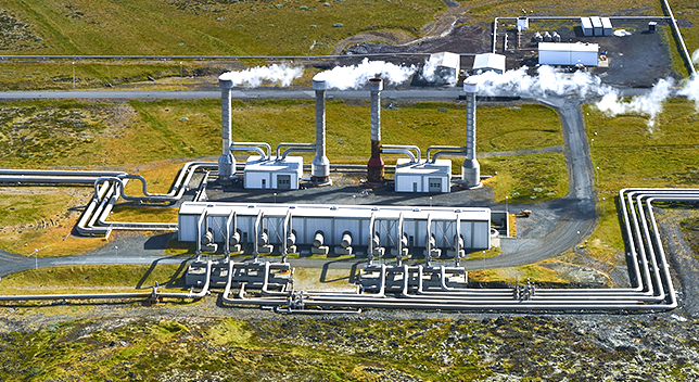
Energy leaders use GIS in locating and developing renewable, geothermal resources. Important GIS-supported workflows include determining prime locations to implement geothermal technologies, potential markets, and the required infrastructure. GIS enables exploration workflows to locate resources, make site selections, drive public engagement, and create visualizations as well as optimize efficiency of operations.
Geographic data and analytics are often common across industries. Explore how other industries and initiatives are applying Esri technology to solve complex problems. Leverage their innovation and ideas to help drive new solutions in support of the renewables segment.

Digitally transform natural resources management for greater sustainability. Use advanced spatial analytics to uncover trends, improve understanding, and inform decision-making.
Explore Natural ResourcesEsri ArcGIS equips you to better plan, execute, and report on sustainable development in any situation. Achieve goals faster with a scientifically grounded system that precisely measures growth and provides the tools to share progress with the community.
Explore Sustainable DevelopmentGIS supports real-time observations to monitor natural areas, leading to insights and understanding. Grounded in the fabric of geography, conservation GIS enables improved understanding of the complex web of threats, opportunities, and challenges facing our natural world.
Explore ConservationGIS is transforming AEC firms through improved workflows, better collaboration, and strategic partnerships. This effort leads to building smart communities and assets for the future. Add location to design to understand projects in context and deliver repeatable solutions.
Explore AEC