Winter 2002/2003
Winter 2002/2003 |
|||||||
|
|
|||||||
ArcGIS 8.3 Focuses on Topology and Editing |
|||||
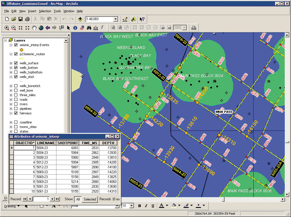
The ArcGIS 8.3 release represents the next major step forward for the ArcGIS suite of desktop products (ArcView, ArcEditor, ArcInfo, ArcGIS extensions, and ArcSDE) with a focus on data creation and maintenance. Esri has incorporated the following features in the 8.3 release to achieve this goal: new geodatabase topology, advanced editing, disconnected editing, complete linear referencing, and three new ArcGIS extensions. Full Topology SupportThe primary feature of the ArcGIS 8.3 release is full topology support for the geodatabase coupled with an improved editing environment built to support topological relationships. The topology tools in ArcGIS 8.3 enable ArcEditor and ArcInfo users to analyze, visualize, report, and, where necessary, repair the spatial integrity of geodata. Geodatabase topology gives users the ability to declare spatial relationships, or spatial integrity rules, between feature classes as well as within a single feature class. It also provides a set of tools that lets users find and fix integrity violations, making the editing of features that share geometry much easier and more powerful than ever before. ArcView users will also benefit from some new map topology (shared editing) tools. Advanced EditingIn addition to the new editing capabilities that support topological relationships, ArcGIS 8.3 offers a set of plan entry tools and new snap agents, sketch tools, and annotation tools. Plan entry tools, such as traverse, fillet, inverse, and proportion, have been added to the core editing tools in ArcEditor and ArcInfo for improved land record and parcel management. New editing features also include a snap indicator that identifies which features are being snapped to, an extensible snap agent list that allows developers to add and build according to their own requirements, a trim tool that trims a line that crosses a selected line, and an explode tool that splits a multipart feature into its component features. ArcGIS 8.3 also offers new options to scale, rotate, and edit annotation and includes new tools to curve annotation around an anchor point or shape annotation to follow another feature. Disconnected EditingArcGIS 8.3 offers ArcEditor and ArcInfo users disconnected editing capabilities to work with a local or remote version of an enterprise geodatabase in a checkout/check-in environment. Users can work independently of the main database with options to reconcile edits and update the main database. This allows users to work in the field or locally without network constraints. When a user checks data in, only updates, deletions, and inserts are merged with the parent version of the database, thus improving the efficiency and integrity of the data. Disconnected editing technology also gives users the ability to readily distribute and share data from the main database with other agencies, sites, or individual users.
So that users can take full advantage of disconnected editing tools, ArcGIS 8.3 introduces a single use license of ArcEditor, and a new set of integration tools for ArcPad. ArcEditor Single Use is equivalent to a concurrent use license of ArcEditor. ArcEditor Single Use provides users complete geodatabase editing functionality in the field and the flexibility of working remotely without having to depend on a license manager. The ArcPad integration tools for ArcGIS 8.3 extract and convert selected data from a personal or multiuser geodatabase into a shapefile that can then be edited in ArcPad. Edits to attributes and/or shapes can then be integrated back into the main geodatabase once the data is checked in. Users can extract data using either technology to make a completely detached set of data for use by others. Complete Linear ReferencingArcGIS 8.3 offers a complete set of tools to allow users to create, edit, display, and analyze linear referencing data (routes and events). Previous releases allowed users to display route events (dynamic segmentation) and query route locations. ArcGIS 8.3 upgrades this functionality to satisfy the equivalent of what ArcInfo Workstation dynamic segmentation users have been familiar with for several years. Improved are capabilities for users to interactively or automatically create routes as well as edit, update, and maintain the reference system values known as "measures" on the routes. Tools to display route errors allow users to improve the quality of their reference systems, and new route editing tools make calibration and calculation of measurements easier than ever before. Geoprocessing of event data is also new at ArcInfo 8.3; it enables analysis such as point-on-route, polygon-on-route overlay, or route-on-route as well as measurement transformations between different routes. New Extensions Available for ArcGIS 8.3Three new ArcGIS extensions are available for the 8.3 release: ArcGIS Survey Analyst, ArcGIS Tracking Analyst, and ArcScan for ArcGIS:
ArcGIS 8.3 will be provided on CD-ROM to all ArcGIS users with current software maintenance subscriptions at no additional charge. For more information on ArcGIS 8.3 and the new extensions, visit www.esri.com/arcgis, call Esri at 1-800-447-9778, call your Esri regional office, or contact your local reseller. Outside the United States, please contact your local Esri distributor. See sidebar, "ArcGIS 8.3 Supports Visual Studio .NET." |