What you get
Online and desktop mapping and analysis software with secure accounts, data, and instructional resources

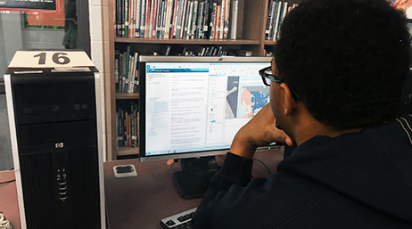
Use professional GIS software in CTE and technology classes
Our future depends on youth ready to address challenges large and small. The Esri Schools Program provides resources for career and technical education (CTE) instructors that build student skills for college, career, and civic engagement through a geographic approach.
Use industry-standard GIS tools to solve real-world problems. Build the workforce of tomorrow with online and desktop software, supported by professional training resources.


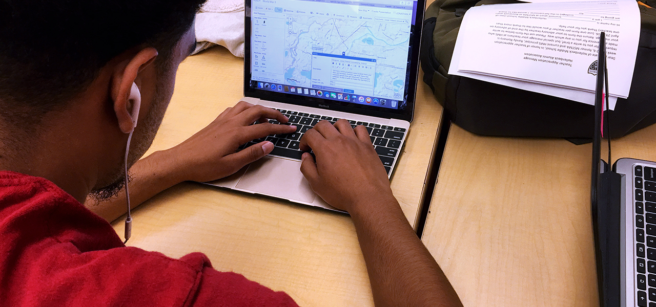
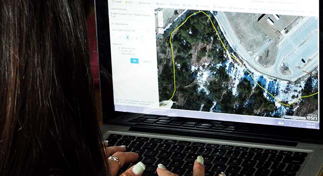
Create, save, and share maps that explore industry-oriented situations and community issues. Use provided data or generate your own. Transform spreadsheets, documents, images, and observations into a map.
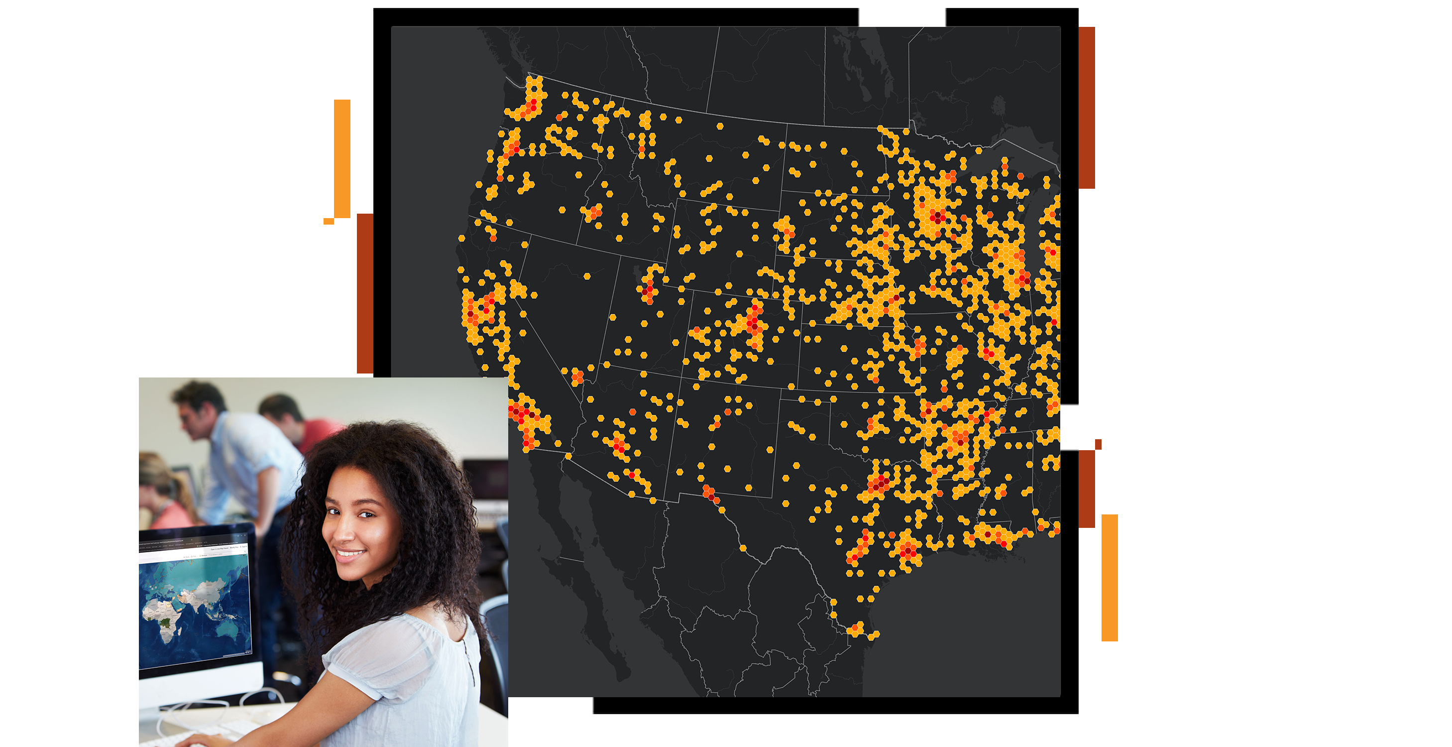
The world runs on intelligence derived from data. Perform analysis and configure maps to highlight key patterns and relationships. Experience advanced analysis including artificial intelligence and machine learning.
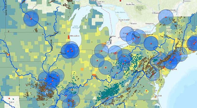
ArcGIS integrates with other powerful systems you use. Harness the geographic power within your GPS, CAD, remotely sensed, and document data.


Solve real-world problems using industry-standard GIS tools. Build skills for college, career, and community involvement. Develop abilities in investigation, design, project management, data management, analysis, and more. Assemble your work into a cohesive digital portfolio.


Get started

Hands-on tutorials

Books from Esri Press
Online training

Esri K–12 Teacher Video Challenge
Ready to create, save, and share maps? Get a license. Accounts are free for teachers, students, and mentors to use for instruction.