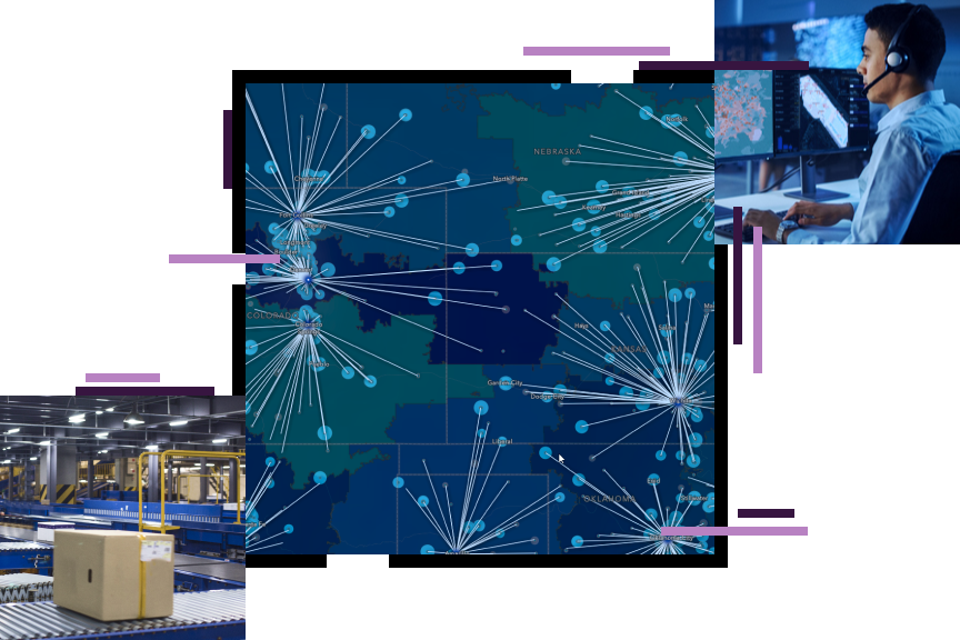
Build a better supply chain with location intelligence. The Esri platform lets you track vehicles, inventory, and equipment in real-time with ease. You can streamline deliveries, cut costs, and improve customer satisfaction. Esri maps and analysis let you see your supply chain in a new light with increased visibility and insight across all levels of your operation.
Mark Schue, Director of Information Technology, Con-way
Join us in San Diego, California, to collaborate, learn, and inspire at the Esri User Conference.
Natura is one of the leading manufacturers and retailers of household products in Brazil. Learn how GIS has helped this innovative company cultivate natural resources sustainably from the Amazon Rain Forest, and ensure that wealth stays within the indigenous communities. Read more
To make the delivery of 38 million parcels each year more efficient, Croatian Post embarked on a new development strategy. It wanted to stabilize its core business by streamlining transportation and reducing delivery and distribution costs. Read more
Esri released a series of interactive story maps based on information from partner Datamyne. The story maps illustrate the impact on trade flows through the ports of Los Angeles and Long Beach during the recent dispute over terms of a new West Coast longshoremen’s contract. Read more
There are a myriad of ways that GIS helps maintain a sustainable supply chain. Wolfgang Hall, Esri’s supply chain management industry manager, takes a look at how GIS can make a difference. Read more
Begin Demo
Know your data by understanding where and why everything is happening.
Runtime: 1:33
Jeff Rivera, Con-way Freight, Inc., Talks Reducing Waste
Runtime: 1:34
Stay in touch with others in this industry who are interested in mapping and spatial analysis. Join the conversation at GeoNet.
July 10 – 14, 2017 San Diego, CA
May 23 – 24, 2017 Phoenix, Arizona
Esri is proud to team with leading organizations to bring you the right solution.
Geo-Comm tailors end-to-end systems to meet the needs of any agency helping customers improve data accuracy and quality. Read more
RouteSmart Technologies, Inc. provides route optimization software and logistics professional services for the newspaper and postal/local delivery industries. Read more
Llamasoft creates supply chain network design software for modeling, optimizing, and simulating operations using the ArcGIS platform. Read more
OSIsoft provides data center implementation and operations such as managing real-time data and events. Read more
An Esri representative is ready to help. Send us your question and we'll make sure to respond promptly. We have industry experts to help you learn more about how to solve problems and add value with Esri. We can also assist with product, pricing, and technical questions.