Skip to Content

Asset Management and Risk Analysis

Visualize and monitor your assets

A 3D model of a sprawling city with buildings shaded yellow and blue, overlaid with a closeup photo of a large white drone in mid-flight

Evolving to modern and resilient operations

Manufacturing automation requires physical and digital connections that achieve optimal production, uptime, safety, and security. Location-based manufacturing asset and facility management helps leaders assess risks, plan, and protect staff and assets to improve operations. Location-enabled asset management software supports factory and campus management from every angle—above ground and below ground.

Gain visibility and connectivity from every angle

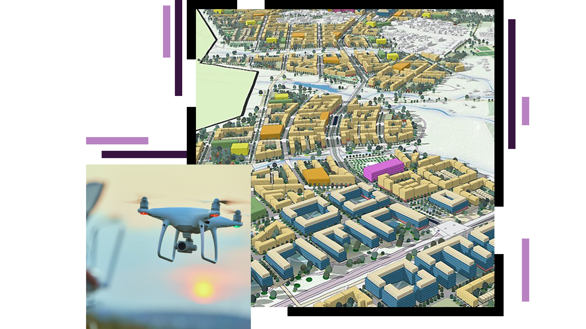
Data-driven planning for the future

Build impactful capital plans that unite infrastructure issues, capital improvement projects, and operational needs to inform spending prioritization that addresses immediate needs and long-term goals. Use maps to communicate scenarios and impacts across functions to maximize investment in office and plant modernization.  

A blue and white 3D model of a large office complex with orange and blue map points identifying key areas

Optimize facility and real estate management

Develop strategic growth plans and manage your real estate portfolio with location intelligence. From the shop floor to the offices and grounds, map and manage the company's real estate portfolio with geospatial technology to ensure that land, offices, and manufacturing facilities are optimally used to achieve immediate and long-term goals. ArcGIS helps portfolio managers make data-driven decisions that improve building utilization and the investment portfolio.

Explore portfolio management
Map of a large campus with many buildings

Reduce risks with operations monitoring

Improve planning and reduce vulnerabilities in your operation by mapping assets—fixed and mobile. Share data with ArcGIS to gain greater insight on conditions, life cycles, cost centers, and worth. Inform actions and increase safety and security by visualizing and analyzing the digital network of people, trucks, machines, processes, and deliveries in real time. Enable response teams with apps and tools that send notifications of unauthorized movement or irregular behavior. Quickly assess and respond to events with the right people, materials, and tools.

Incident dashboard with map and metrics

Optimize field operations

Reduce risk and increase safety by providing real-time locates and operations status at supplier sites or manufacturing facilities and campuses. Enable maintenance and project teams to assess and resolve issues faster with field surveys, maps, drones, and lidar. Report, share, and mitigate findings with suppliers and manufacturing facilities for preventive maintenance and continuous improvement in supplier risk management.

Explore field management
Facility map

Enhance quality with advanced analytics

Uncover relationships between defects and their related systems, processes, distribution, or point of use. Gather insight from recurring failure patterns and warranty claims. Use space and time analysis to expose unseen patterns and threats that inform process improvement.

Dashboard with metrics

WHERENEXT

Exploring a breakthrough in real-time mapping

An innovation in real-time mapping improves workplace safety in warehouses, on work sites—even on the ski slopes.

Read the article

Products

Previous
Next

Contact sales

Connect with the Manufacturing Team