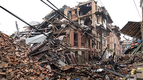
Earthquakes
Improve your response with our earthquake public information map. Monitor earthquake locations, shaking intensity, and affected population.

When a disaster or crisis strikes, we’re here to support you 24/7
Explore live interactive maps and find resources to support various crisis and disaster types supported by the Disaster Response Program.
Earthquakes
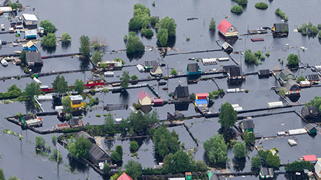
Flooding
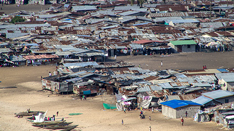
Humanitarian and Public Health
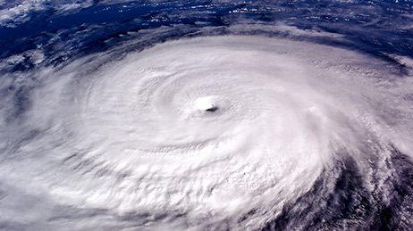
Hurricanes
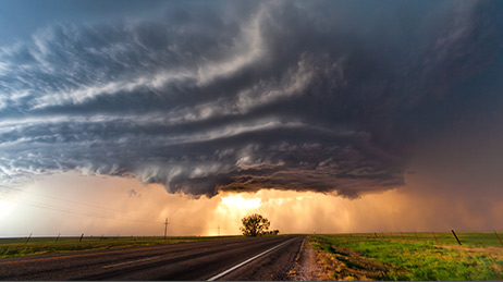
Severe Weather
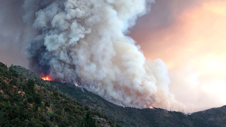
Wildfires
Esri was founded to help solve some of the world’s most difficult problems. For over 25 years, the DRP has provided GIS support to our users and the global community during disasters and crises of all types and sizes. When you need help in a response, here are ways we can assist.
The DRP was activated on Feb 3, 2020 to support the global pandemic response to COVID-19. The DRP responded to more requests for assistance in 120 days than it did over the program’s entire 26 year history. More than 4,300 organizations and 20,000 requests were fulfilled by June 1st, the start of Atlantic hurricane season.
The Camp Fire in Butte County, CA became the most deadly fire in California history. The DRP assisted multiple agencies in the response effort.
Most costly year for disasters in US history as a result of hurricanes Harvey, Irma and Maria, multiple devastating wildfires, and severe flooding. This year became the 2nd busiest on record for the DRP.
The Disaster Response Program assisted with rapid information sharing capabilities between multiple global locations in a matter of hours in response to the downing of Malaysia Airlines flight MH17.
Multiple organizations shared situational awareness applications that supported the response and clean-up efforts for the Deepwater Horizon Gulf Oil Spill.
Katrina was one of the costliest tropical cyclones in US history. The Disaster Response Program provided direct support for several agencies, including a regional database, damage assessment, search and rescue, and map production.
An emergency operations center with GIS capability was established on Pier 92 to support the World Trade Center response and recovery efforts. 20,000 maps were produced in the weeks following the 9/11 terrorist attacks.
Esri's first activation of the Disaster Response Program supported the response to the Northridge earthquake with advanced impact modeling and damage assessments.
Request embedded maps or interview topic experts for your disaster-related editorial features and news stories.
Explore ArcGIS Solutions, incident-specific data, resource catalogs, and live data feeds to support your disaster response.
See how we help organizations maximize impact for people, planet, prosperity, and peace.
If you need GIS software or support for your current disaster response, please request assistance by completing the form. All requests should be fully justified and are subject to approval.