In the Arctic, Coproduced Maps Help Find Balance Under Pressure
Participants in the Permafrost Pathways project work alongside Indigenous partners to transform spatial data into a tool for empowerment.
Participants in the Permafrost Pathways project work alongside Indigenous partners to transform spatial data into a tool for empowerment.
Native pollinator habitats are under threat. Learn how John Ball Zoo is revitalizing them and engaging communities in conservation efforts.
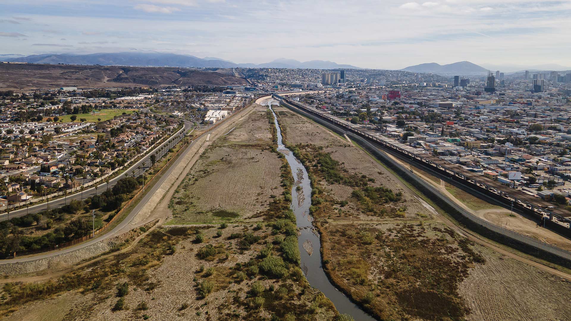
Using advanced GIS, several organizations are identifying key issues along the river and prioritizing sustainable interventions for funding.
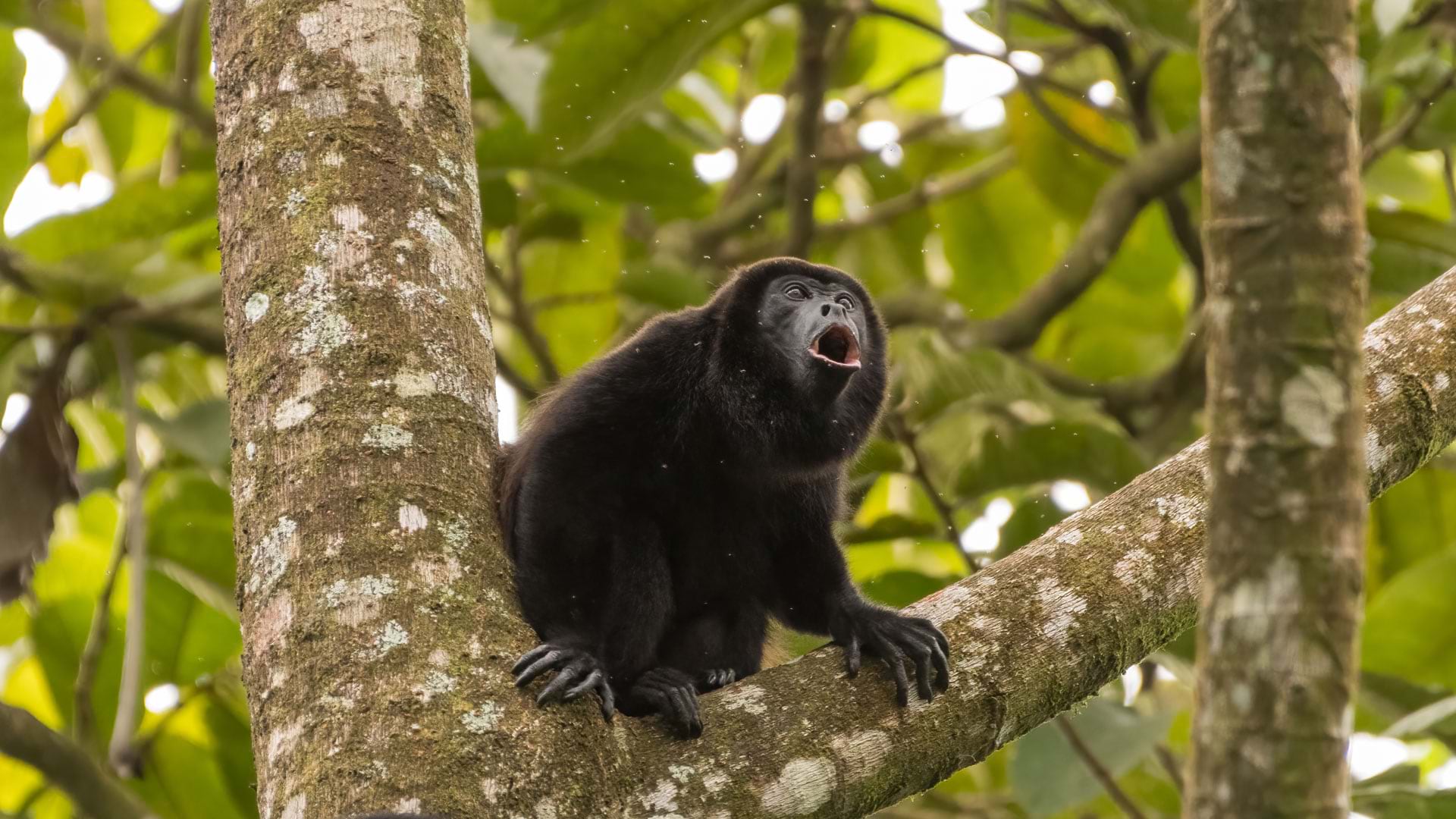
Hammerhead Technology used ArcGIS Pro to compare power line locations with places where howler monkey electrocutions had occurred.
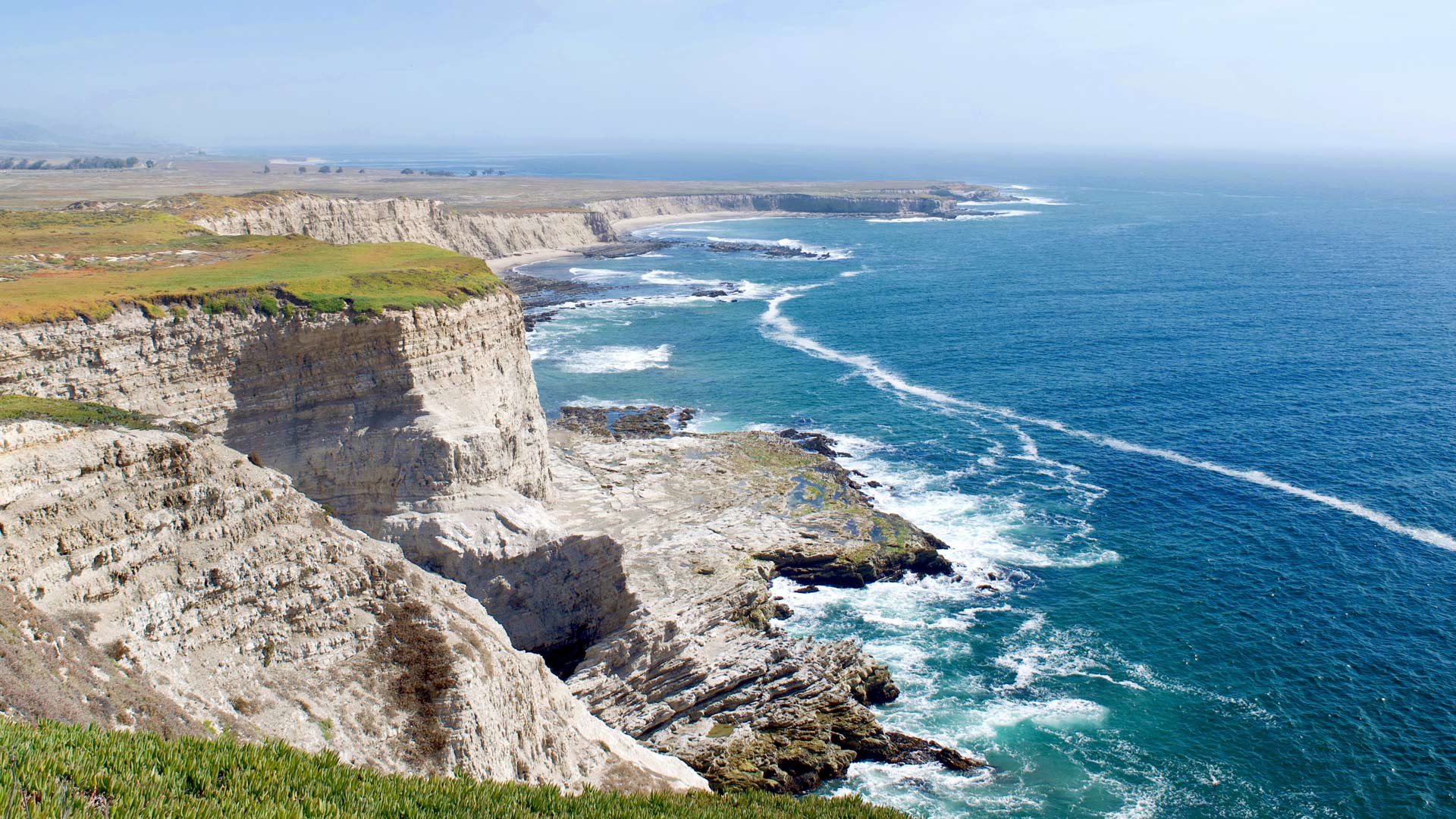
The Open Space Institute used ArcGIS Experience Builder, ArcGIS Instant Apps, and ArcGIS Survey123 to modernize its outreach efforts.
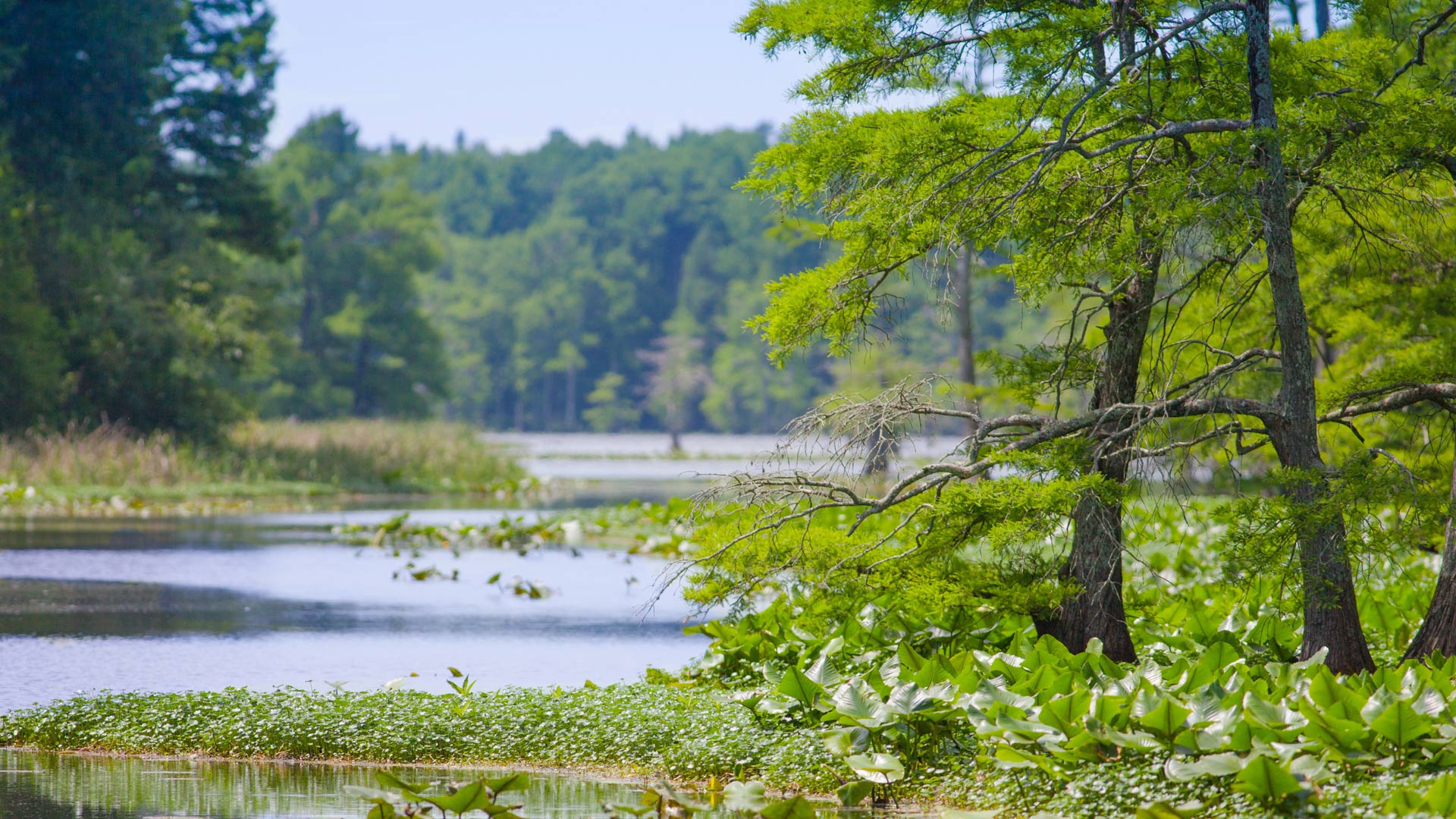
A predictive model identifies the locations and extents of existing and potential wetlands throughout the state, aiding conservation.
With solar-powered GPS collars and ArcGIS Velocity, a 3D monitoring system tracks where the animals do and don’t cross roads in Nebraska.
NatureServe’s Explorer Pro web app, built with ArcGIS Enterprise, ensures that species data is comparable from one jurisdiction to the next.
More than 40 institutions are working on over 90 research projects that, together with a network of sensors, are creating a smart preserve.
At Swiss National Park, an enterprise-wide GIS aids with operations, infrastructure planning, flora and fauna monitoring, and more.
More than 100 ecosystem restoration projects seek to safeguard many unique and endangered plant and insect species in Nebraska.
Learn about Conservation.gov, which connects the public with locally led conservation efforts, and find out about new YPN regional chapters.