Utility Plans for the Future by Upgrading Its GIS Today
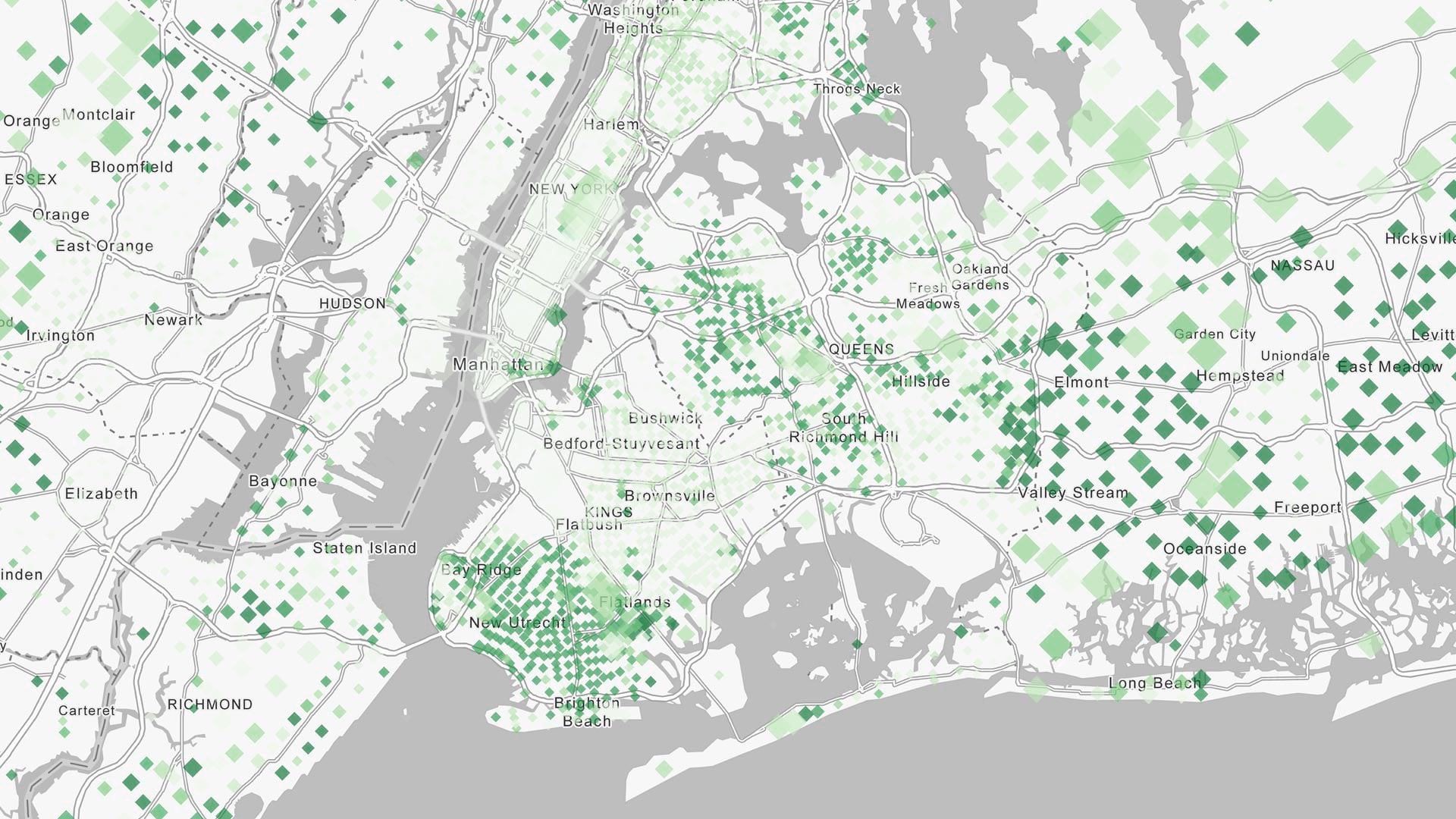
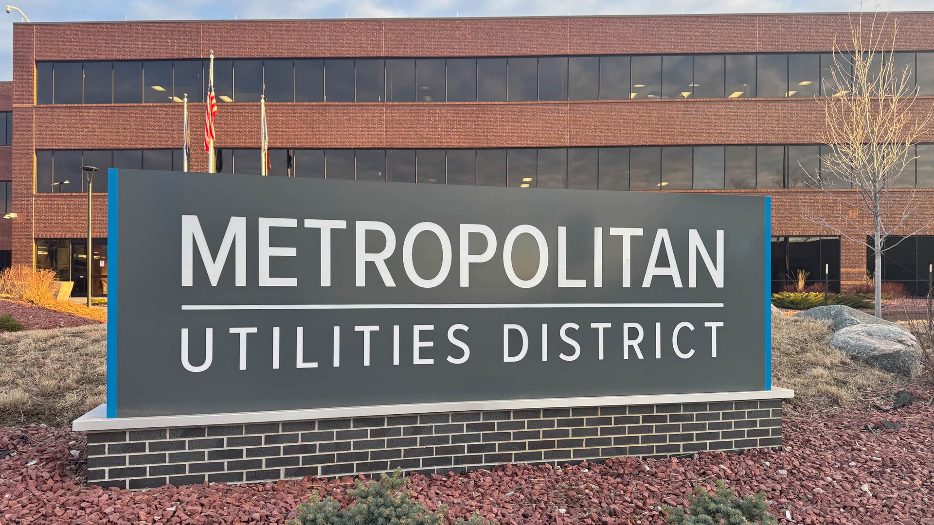
Omaha, Nebraska’s Metropolitan Utilities District now has a precise data model of its assets and operations with full network connectivity.
Omaha, Nebraska’s Metropolitan Utilities District now has a precise data model of its assets and operations with full network connectivity.
Esri’s three distinct implementation options let utilities deploy enterprise GIS at their own pace.
Its six natural gas operating companies now use ArcGIS Workforce, ArcGIS Field Maps, and ArcGIS Dashboards to conduct GIS-based inspections.
“Kaukauna Utilities is realizing efficiencies not only in mapping but also [in] engineering and operations,” said one company director.
The consequences of working with bad data are serious. ArcGIS Data Reviewer enables organizations to improve data quality.
By automating communication, the Southern California Association of Governments better manages data contributions from local jurisdictions.
ArcGIS Workflow Manager is now available in a software as a service (SaaS) environment.
Recent updates focused on real-time and big data analysis, working with imagery, additional options for designing urban plans, and more.
ArcGIS Workflow Manager enables users to complete tasks and projects in a predictable, accurate, and timely manner.
Clay County Utility Authority used ArcGIS Data Reviewer to improve quality assurance and quality control processes.
Using ArcGIS Utility Network and ArcGIS Collector, AltaGas Utilities reduced asset inspection times by 50 percent.
The East Bay Municipal Utility District implemented new tools to make its data review process more efficient and effective.