In an era defined by digitalization, humanity has unprecedented access to information. Satellites orbit Earth; sensors track movements and changes in real time; and vast databases collect, store, and analyze nearly every measurable aspect of the world. Yet, paradoxically, this abundance of data often makes it more difficult, not easier, to gain understanding.
Humans have more details than ever before, but we increasingly struggle to grasp the bigger picture. In this context, maps and cartography—understood not merely as geographic tools but also as methods of structuring and visualizing complexity—have become more important than at any time in history. They help us see the forest rather than getting lost among the trees.
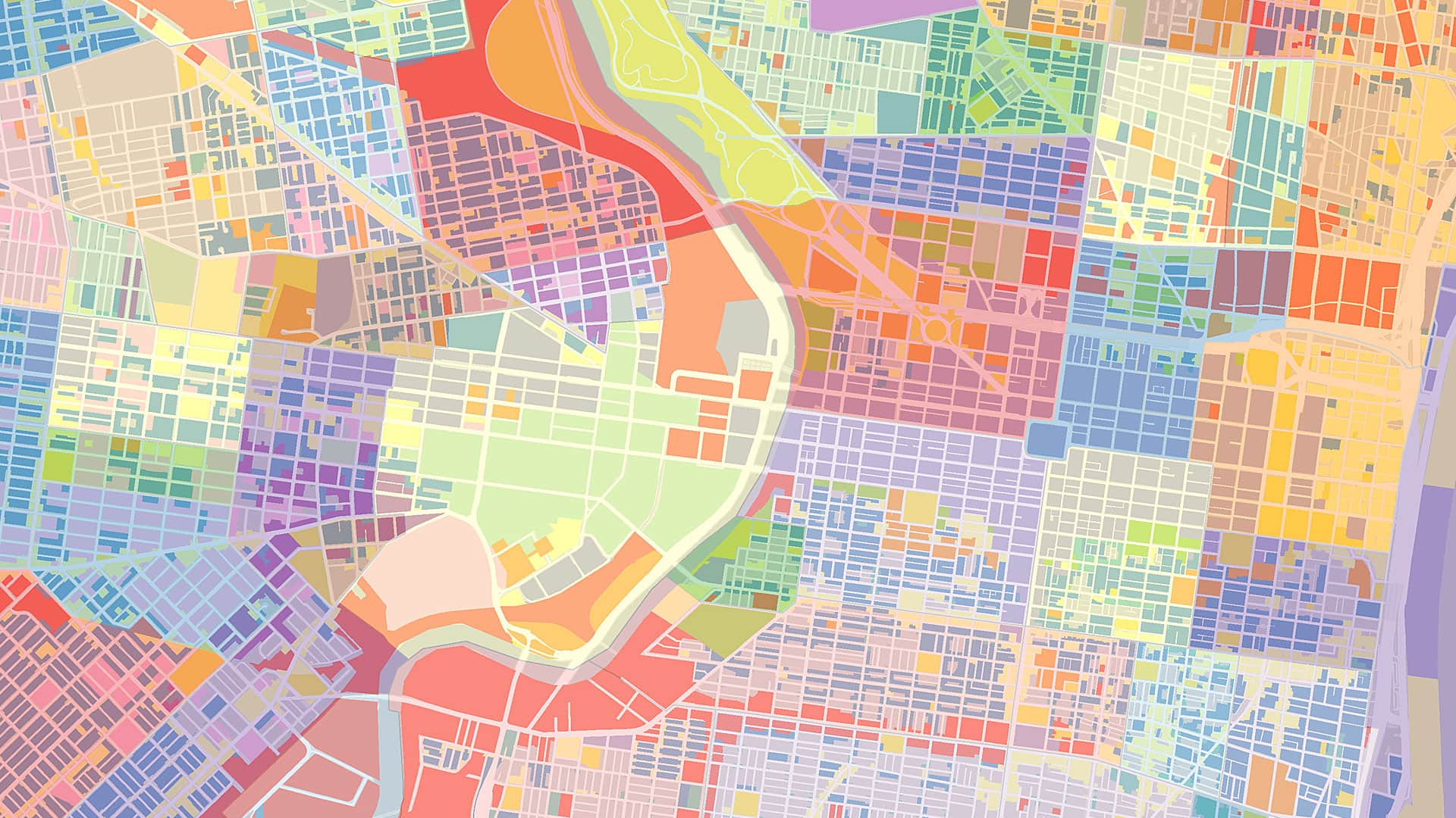
Cartography has always been about more than drawing coastlines and borders. At its core, it is a way of transforming overwhelming reality into a meaningful representation. A good map does not show everything—it shows what matters. This principle is crucial in the digital age, where the problem is no longer a lack of information but an excess of it. Without careful selection, hierarchy, and abstraction, data becomes noise. Maps, by necessity, impose order. They determine what’s included and omitted and how relationships should be displayed. By doing this, they turn raw data into knowledge.
Digitalization has radically expanded the scope of cartography. Today’s maps are dynamic, interactive, and multilayered. GIS, real-time dashboards, and spatial data visualizations allow users to explore phenomena ranging from changing migration patterns and climates to supply chains and social inequalities. But this power also brings risk. When every variable can be mapped, layered, and animated, this can lead to visual overload. Users may focus on individual data points, zoom endlessly in to details, or mistake precision for understanding. The role of cartography, therefore, is to not just display data but also guide interpretation.
This guiding function is especially critical in times of crisis. During natural disasters such as floods, wildfires, or earthquakes, decision-makers rely on maps to assess risk, allocate resources, and communicate with the public. A flood map, for example, is not valuable because it contains every possible measurement; it is valuable because it clearly communicates where danger lies, who is affected, and what actions are needed. Poorly designed maps can mislead, create false confidence, or cause panic. Well-designed cartographic representations, on the other hand, can save lives by making complex situations immediately understandable.

Beyond emergencies, maps play a central role in navigating long-term global challenges. Climate change is a prime example. The phenomenon is vast, abstract, and unfolds across different scales of time and space. Individual data points—temperature readings, CO2 concentrations, and sea-level measurements—are meaningful only when seen in relation to one another. Cartographic representations allow us to connect these details into patterns: warming trends, vulnerable regions, and projected futures. Without maps, climate data risks remaining a collection of isolated facts rather than a coherent narrative that can inform policy and public action.
The importance of cartography extends far beyond physical geography. In the digital world, the word “map” increasingly functions as a metaphor for structured knowledge. Network diagrams, information architectures, conceptual maps, and data visualizations all follow cartographic principles. They reduce complexity by establishing orientation: What is central? What is peripheral? How are elements connected? In this sense, cartography becomes a general cognitive tool for understanding systems—economic, social, and technological—that are otherwise too complex to grasp.
Having the power to map also raises ethical questions. Every map reflects someone’s choices and perspectives. What is shown prominently and what is hidden can reinforce power structures, biases, or political agendas. In the age of big data, these issues are amplified. Automated mapping systems may appear neutral, but they are built on assumptions embedded in data collection, classification, and visualization. Responsible cartography, therefore, requires transparency; critical reflection; and an awareness that maps shape how people see the world, not just how they navigate it.
Education plays a crucial role in ensuring that maps fulfill their potential rather than becoming sources of confusion or manipulation. Map literacy—understanding how maps are constructed, what they can and cannot show, and how to interpret them critically—is an essential skill in the digital age. Just as reading and writing were foundational skills in earlier eras, the ability to decipher visual and spatial representations is becoming increasingly important. Without this literacy, users risk mistaking detailed maps for truthful ones or confusing complexity with insight.
At the same time, advances in digital tools have democratized cartography. What once required specialized training and expensive equipment can now be done with widely available software and open data. This democratization allows communities to map their own realities, highlight local knowledge, and challenge official narratives. Participatory mapping projects, for instance, have been used to document informal settlements, environmental damage, and social inequalities that were previously invisible on official maps. In this way, cartography can empower voices that might otherwise remain unheard.
Yet democratization does not eliminate the need for expertise. On the contrary, as more people create and consume maps, the demand for thoughtful design and methodological rigor increases. The challenge is not simply to produce more maps but better ones—maps that clarify rather than obscure, connect details to context, and help users orient themselves in a complex world. This requires a deep understanding of both data and human perception.
Ultimately, the enduring importance of maps and cartography lies in their ability to reconcile detail with meaning. In a world flooded with data, it is easy to become lost among numbers, metrics, and isolated facts. Cartography reminds us that understanding depends on structure, perspective, and synthesis—that seeing everything is not the same as understanding anything. By helping people step back, identify patterns, and grasp relationships, maps allow them to see the forest even when surrounded by individual trees.
As digitalization continues to accelerate, the question is not whether there will be enough data but whether humans will have the tools and wisdom to make sense of it. Maps—broadly understood as cartographic representations of complexity—will remain indispensable. They are not relics of a pre-digital past but are essential instruments for navigating the present and shaping the future. In learning to see the forest for the trees, we rediscover why cartography matters now more than ever.