Metro de Medellín Builds an Intelligent Asset System with ArcGIS Enterprise
Colombia’s second-largest mass transit system has saved millions of dollars by using advanced GIS to manage its real estate.
Colombia’s second-largest mass transit system has saved millions of dollars by using advanced GIS to manage its real estate.
Interactive maps help the economic development authority support initiatives ranging from affordable housing to small business growth.
Esri president Jack Dangermond describes his vision for GIS becoming a global platform that shapes decision-making across communities.
From showcasing innovative technology to connecting people, the 2025 Esri User Conference proved that GIS is driving meaningful change.
Hammerhead Technology used ArcGIS Pro to compare power line locations with places where howler monkey electrocutions had occurred.
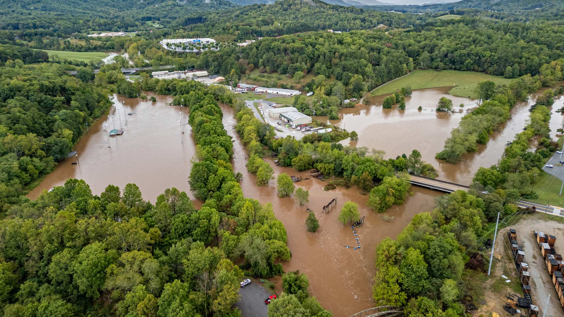
With help from Esri’s Disaster Response Program, agencies predicted flood risk, mapped isolated communities, and shared travel restrictions.
By implementing ArcGIS Data Pipelines, KBC Advisors has saved time, enhanced efficiency, and improved data delivery.
Monitoring network adequacy involves large datasets and complex calculations to confirm that health care is within reach for all members.
At the 2024 Esri User Conference, trailblazing users and organizations gathered to show how they use GIS to serve their communities.
The 2023 Esri User Conference showed that GIS professionals understand the world’s interconnectedness and know how to tackle big challenges.
Esri awarded 27 partners for their innovation and excellence in helping customers succeed with ArcGIS technology. Find out more about them.
Esri president Jack Dangermond often emphasizes the importance of using the geographic approach for problem solving.