Organizations across the world are leveraging earth observation (EO) data and GIS to understand the impacts of disaster events and better mitigate them.
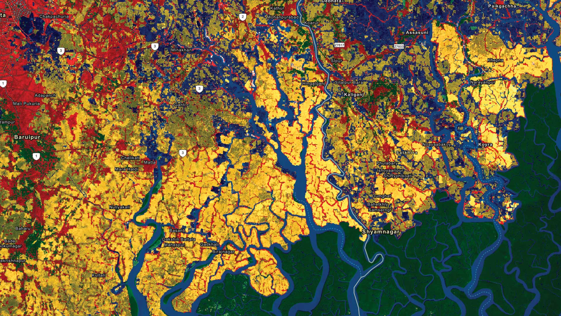
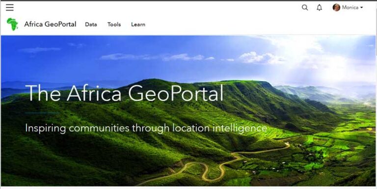
These organizations, including the Group on Earth Observations (GEO), Esri, Geoscience Australia, and the Committee on Earth Observation Satellites (CEOS), are collaborating to integrate Digital Earth Africa (DE Africa) imagery into the Africa GeoPortal and develop tailored applications and training materials that focus on reducing disaster risks on the continent of Africa.
This is just one example of the work being spearheaded by GEO, a partnership of governments and organizations that promotes the availability, access, and use of earth observations (EO) from both surface and satellite data. GEO was established in 2005 by the Third Earth Observation Summit, with the United Nations Office for Disaster Risk Reduction (UNDRR) being one of GEO’s initial participating organizations.
GEO’s objective is to highlight the value and usefulness of earth observations for research, policy, decision-making, and action. Using the data gathered from EO, decision-makers can better understand things such as population density in different parts of the world and socioeconomic information including where vulnerable populations live.
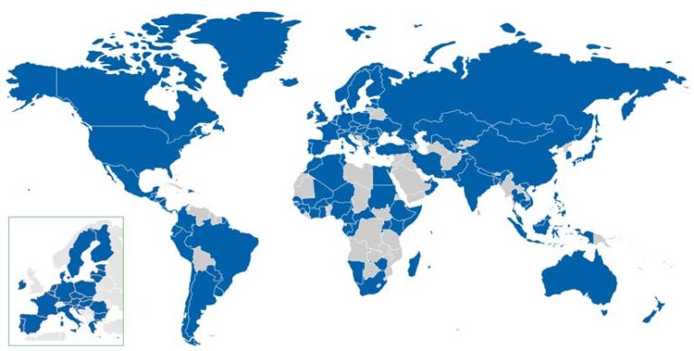
Today, the GEO community includes 113 countries, the European Commission, more than 700 national government agencies, 135 international participating organizations, and 17 GEO Associates. GEO Associates are commercial and nonprofit organizations that have demonstrated commitment to GEO’s mission and are recognized as official GEO collaborators. Esri is a GEO Associate, and 30 Esri staff members are currently participating in 34 different GEO Work Programme activities. They work in areas such as capacity development, climate action, and disaster risk reduction.
Along with collaborating on projects with Esri, GEO is using Esri software to create geospatial solutions for its disaster risk-reduction and resilience efforts. “Earth observations are inherently spatial, and the analytic capabilities of Esri technologies make that data more accessible and understandable,” said David Borges, a physical scientist with the National Aeronautics and Space Administration (NASA) Earth Science Division’s Applied Sciences Program, in the Disasters program area. Borges also cochairs the recently formed GEO Disaster Risk Reduction Working Group (GEO DRR-WG). Borges continued, “GIS serves as a bridge between the scientific research communities and decision-makers.”
The goal of the GEO DRR-WG is to support policies such as the UNDRR Sendai Framework for Disaster Risk Reduction 2015–2030, and the group serves as the primary GEO liaison to UNDRR. According to the United Nations Office for Disaster Risk Reduction, the framework focuses on the following priorities:
- Understanding disaster risk
- Strengthening disaster risk governance
- Investing in disaster risk reduction for resilience
Enhancing preparedness for effective disaster response and to “Build Back Better” in recovery, rehabilitation, and reconstruction
“The framework calls for a substantial reduction of disaster risk and the subsequent losses in lives, livelihoods, and health,” Borges said. It also considers the economic, social, cultural, and environmental impact of disasters. “[At GEO], we are helping expand the use of EO insights to achieve the Sendai Framework goal to increase the number of countries with national and local disaster risk reduction strategies,” said Borges. “EO data and knowledge can complement the data that governments already have access to, such as disaster risk trends over time. Taken together, the compiled data can help them better understand and visualize their specific vulnerabilities and exposure.”
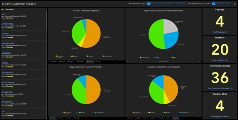
Esri software also is being used to help the GEO Work Programme, which facilitates collaboration of activities that members, GEO Associates, and other organizations are working on to fulfill GEO’s mission. Realizing the need to coordinate the expansive geospatial data gathering efforts required for the 64 GEO Work Programme activities, the Disaster Risk Reduction, Capacity Development, and Climate Change working groups collectively implemented ArcGIS Survey123 to standardize the process.
América Álvarez, a GIS technical lead at the US Geological Survey (USGS) Office of International Programs, worked on the project. “Once the groups finalized the survey questions, we created 64 unique survey links [one for each GEO Work Programme activity],” Álvarez said. “With the appropriate settings, we were able to have more than one individual complete or update a single survey per activity. We then brought the survey results from the 64 accounts into a single master dashboard, which has helped us coordinate our efforts in disasters, climate change, and capacity development.”
The three GEO working groups are distributing the surveys to the various activity leads around the world. As each survey is completed and submitted, results are automatically aggregated and reflected on a dashboard created using ArcGIS Dashboards.
“ArcGIS Survey123 has proven to be a very useful tool that meets the specific needs of our working groups, including the critical ability to capture and communicate the inherently spatial aspect of GEO’s efforts and impact around the world. For the GEO DRR-WG, the collected data informs us where we should focus our efforts during the coming year,” Borges said.
Esri also is involved, along with the GEO DRR-WG and UNDRR, in codeveloping the Earth Observations Risk Toolkit for Disaster Risk Reduction. According to the GEO website, the toolkit will be composed of open-source services and tools that will provide information on risk vulnerabilities, hazards, and exposures. This information will be provided to emergency response agencies at the local and national levels, mainly in low- and middle-income nations often beset by hazards such as tsunamis, floods, and dry conditions that cause wildfires. Humanitarian and economic development organizations also will find the toolkit’s resources useful.
Because the Earth Observations Risk Toolkit is fundamentally geospatial, it is being built using a hub site. The hub site, created using ArcGIS Hub, is hosted by UNDRR using its Esri account. This approach will make it easier for UN partners to collect, access, and apply multidimensional risk data and analytics to help address disasters and climate change.
All the work that’s being done by GEO, its members, UNDRR, Geo Associates, and other partners is critical to reducing and responding to risks caused by disasters. “These activities, made possible through international partnerships, are critical,” Borges said.
“To reduce the impacts of intensifying disaster events in the future, national authorities must fully understand the real geographic and sectoral extent and effect of current disasters. The GEO community, in partnership with UNDRR and Esri, is working tirelessly to ensure that users can leverage earth observations as much as possible to accomplish the objectives of the Sendai Framework and prevent future loss of life and infrastructure.”
About the author