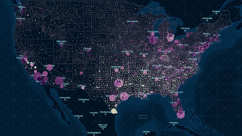
The United States Department of Agriculture (USDA) Natural Resources Conservation Service (NRCS) produces and manages one of the world’s largest collections of natural resource information. The Soil Survey Geographic Database (SSURGO) contains data with hundreds of soil attributes in over 70 tables and includes more than 36 million mapped features. SSURGO represents over 100 years of work by many soil scientists. The database contains information ranging from the chemical and physical properties of soils to derived interpretations used in engineering, natural resource management, disaster response, climate science, and economic modeling.
NHD HUC 8 Subbasins
SSURGO soils are often mapped using topography and geopolitical boundaries. For years, the agencies within USDA mapped and maintained soil databases, often available at a county level. Today, SSURGO soils are typically mapped within US Geological Survey’s (USGS) National Hydrography Dataset (NHD) and its companion Watershed Boundary Dataset (WBD). The WBD assigns nested numeric hydrologic unit codes (HUC) to identify unique basins. Watershed and Subwatershed hydrologic unit boundaries (WSB) provide a uniquely identified and uniform method of subdividing large drainage areas.
SSURGO soils are mapped and displayed within the limits of HUC 8 subbasins, often at a 1:24,000 scale. HUC 8 subbasins vary in size and are typically less than 250,000 acres, or about 400 square miles in size. Each HUC 8 subbasin is uniquely identified by an eight-digit naming code. HUC 8 subbasins are a subset of HUC 6 basins and include multiple HUC 10 subbasins. HUC 8 subbasins support applications and programs of many local, state, and federal agencies.
A New SSURGO Service
In November 2019, Esri updated the ArcGIS Online SSURGO mapping and data download service. The new service, produced by Esri’s ArcGIS Living Atlas environment team, helps mappers locate and download SSURGO soils supported by the NRCS 2019 data snapshot.
The updated service includes 18 new agriculture-related fields to the feature layer and map image layer. The attribute tables now include estimates of yield for four major crops (corn, cotton, soybeans, and wheat). Values for irrigated and nonirrigated farming systems are provided in units of bushels per acre or, in the case of cotton, pounds per acre. Attributes are linked directly to soil polygons, so additional table joins may not be needed.
Five new fields access the National Commodity Crop Productivity Index (NCCPI) Version 3. The NCCPI provides a standardized value for the entire nation and allows comparisons between regions. The NCCPI ranks soils on a scale of 0–1, with larger values indicating more productive soils. The five new fields provide NCCPI values for corn, soybeans, cotton, and small grains and an overall value. This new data supports soil-based economic models, yield modeling, and crop productivity forecasts.