Add Watermarks to Your ArcGIS Pro Map
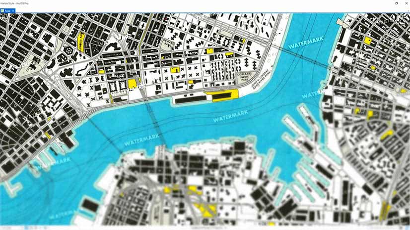
Learn how to create watermarks using Microsoft Paint or PowerPoint and add them to your ArcGIS Pro Map. Watermarks protect your map.
Learn how to create watermarks using Microsoft Paint or PowerPoint and add them to your ArcGIS Pro Map. Watermarks protect your map.
Join a conversation about spatial analysis with Lauren Bennett, software development team lead for Spatial Analysis and Data Science at Esri.
Maria-Alicia Serrano with the YMCA explains how the her organization uses mapping and analysis to strategically serve communities.
Learn techniques to analyze free or inexpensive satellite and aerial imagery to monitor agricultural, economic, and environmental programs.
Esri cartographer John Nelson shows you a relatively easy way to make a size comparison map in ArcGIS Pro.
ArcGIS Online Landsat image services will be updated this spring with Landsat Collection 2 imagery. Collection 1 imagery will be retired.
Do you have a point, line, polygon or raster symbol just the way you like it and want to reuse it? Here's how to save it as a style.
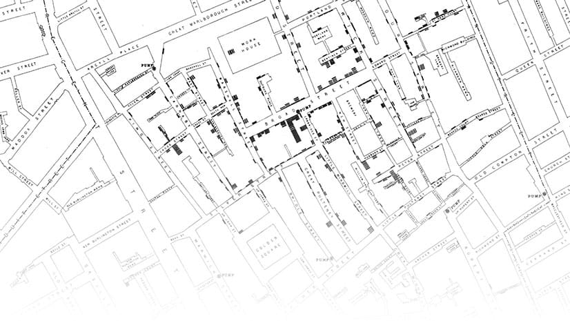
Many GIS professionals know about Dr. John Snow’s map of the cholera outbreak in London in 1854. But there are several myths associated with it.
The Geodesign Summit returns, this time as a virtual event from February 9-10, 2020.
Nate Ebel was 13-years-old when he gave a presentation at the 2002 Esri User Conference. What he did with GIS from then on impacted him greatly.
Andrew Skinner of Esri has created two versions of a basemap that’s color blind friendly and functional.
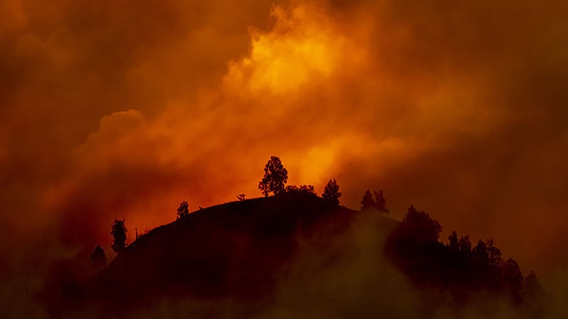
Jim Aranguren, Butte County, California, GIS manager, details the biggest challenges his small GIS department confronted during the Camp Fire.