Getting Started with ArcGIS Monitor
Check out this general workflow for setting up ArcGIS Monitor to work with your enterprise GIS deployment.
Check out this general workflow for setting up ArcGIS Monitor to work with your enterprise GIS deployment.
Charlotte Water's transition to ArcGIS Utility Network has resulted in a more efficient and secure system for network management.
Learn to efficiently manage members in ArcGIS Online, including assigning licenses, adding members to groups, and allocating credits.
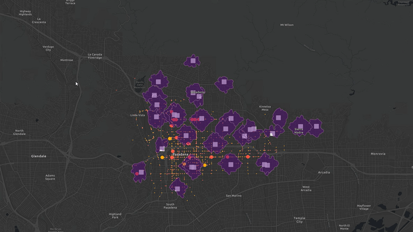
Get started using spatial analysis tools in ArcGIS Online Map Viewer to answer questions and solve problems based on spatial criteria.
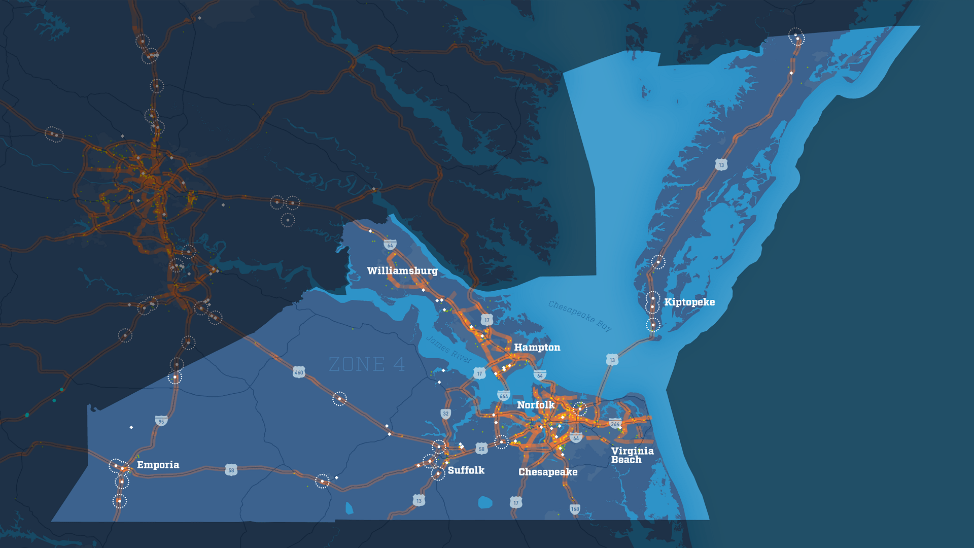
With the Virginia Department of Transportation's truck parking data viewer, the state can better evaluate the needs of Virginia truck drivers.
In collaboration with NOAA, the Presence-Only Prediction tool in ArcGIS Pro predicted snow crab habitat under changing climate conditions.
Learn to transform your SharePoint list into multiple views and use them as layers in ArcGIS for SharePoint.
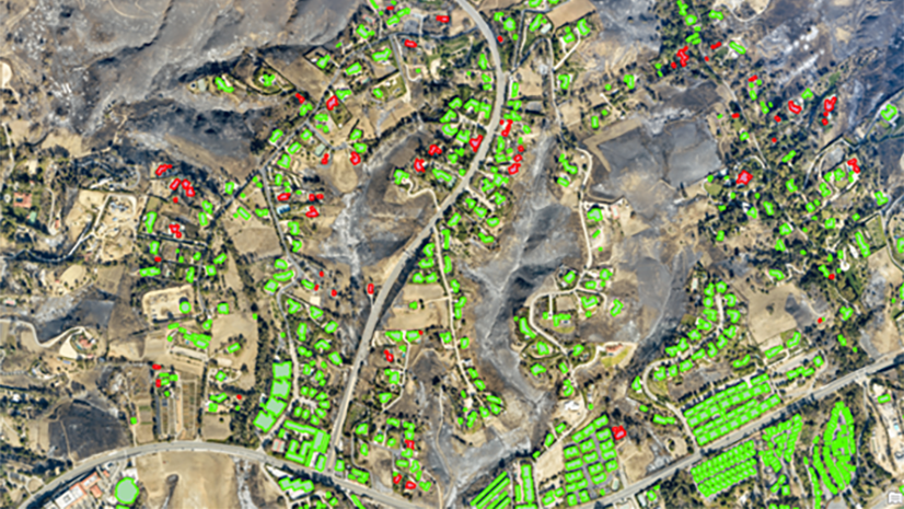
In this free ArcGIS Lab, learn how to automate common imagery tasks by classifying objects using deep learning in ArcGIS Pro.
Join this live training seminar on November 9 and explore the latest ArcGIS Pro enhancements.
In this tutorial, learn to export a copy of a feature layer to your account. Publish the copied data as a hosted feature layer owned by you.
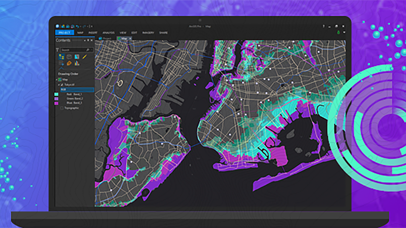
This free web course explores the powerful tools and capabilities of ArcGIS Pro to integrate, visualize, analyze, and share your data.
An auto-rotating globe is a fascinating way to view our planet. Make your own in a minute using ArcGIS Online and ArcGIS Living Atlas.