Tighten Up Your Edits in ArcGIS Online
Get more precision while editing in ArcGIS Online using interactive tooltips to set your own editing constraints.
Get more precision while editing in ArcGIS Online using interactive tooltips to set your own editing constraints.
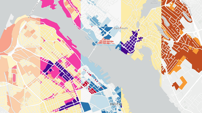
Tips and techniques for designing maps with the Counts and Amounts (color) style in Map Viewer.
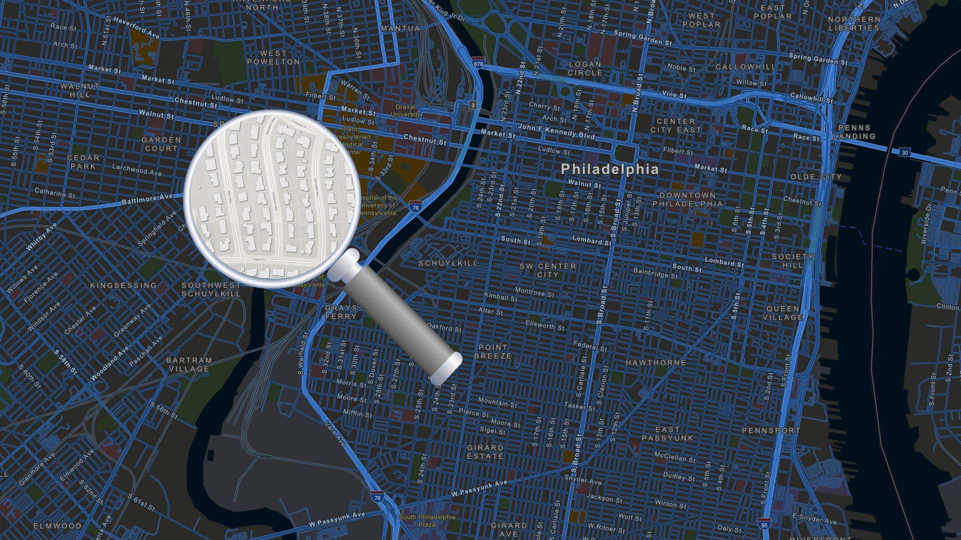
In this tip, learn how to configure and use a locator view for your organization in ArcGIS Online.
You can add, share, and manage many types of items in ArcGIS Online, including photos and images. Here's how.
Cartography is about the words on your map as well as colors and symbols. Learn to create clear layer names in ArcGIS Online in this video.
You've been busy adding items for others in your organization to use. Here's how to prevent accidental deletion of those items.
Check out how to use clustering and binning features in Map Viewer with the latest updates.
Check out this forthcoming Esri Press title that shows readers how to build a geodatabase, use 3D GIS, create maps for presentations, and more.
Explore strategies in adding and providing meaningful accessible labels to your ArcGIS web apps to accommodate a larger audience.
If you have more than one ArcGIS account, here's how to link them to make account switching easy.
Williams began using ArcGIS Monitor in 2018. But after recent updates to the software, Williams is now taking advantage of its new capabilities.
ArcGIS Living Atlas of the World and ArcGIS Online analysis tools can help you learn more about the impacted population of an earthquake.