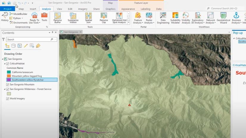
Create a Project in ArcGIS Pro
A tutorial clearly shows every step in the process of creating a project using ArcGIS Pro.
A tutorial clearly shows every step in the process of creating a project using ArcGIS Pro.
D’Maia Curry and Joshua Clifford from Esri talk about the emergence of the mobile worker and mobile GIS.
In the Configuring an ArcGIS Online Organization web course, you will learn to navigate and manage settings for your ArcGIS Online organization.
ArcGIS Online has a new home page, so it's time to reconfigure it using the home page editor. Lynnae Terpstra from Esri shows you how.
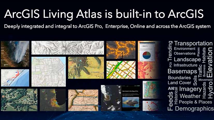
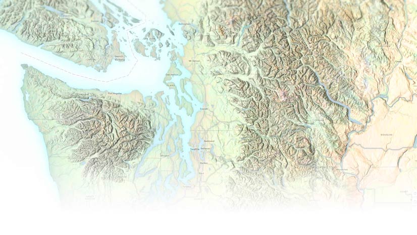
Where do you go when you need data for your maps and apps? Esri technology evangelist Bern Szukalski points you in the right direction.
Upgrade to the new ArcGIS basemap layer service if you are using an open-source client API such as Esri Leaflet to build mapping apps.
The African People & Wildlife organization uses ArcGIS software to analyze and visualize data on human-wildlife conflicts in Tanzania.
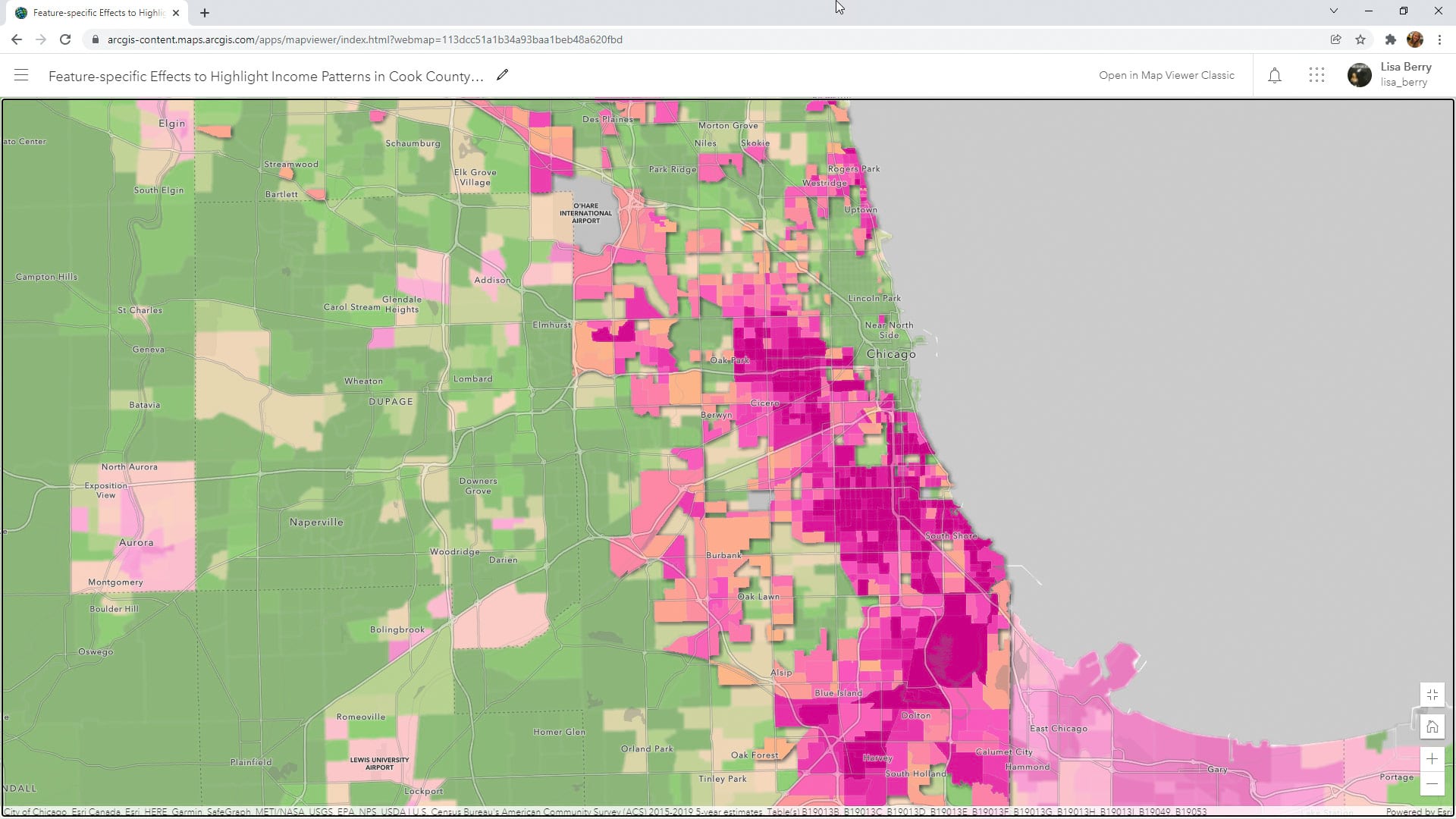
Learn to how to use a Map Viewer capability called feature-specific effects to emphasize a particular part of your map data.
Learn how to make your ArcGIS Online home page more discoverable to the public.
Check out the cool new capabilities in ArcGIS Pro and ArcGIS Enterprise, including the ability to create knowledge graphs and animated symbols.
Get your valuable ArcGIS Pro skills recognized with Esri's newest technical certification.
Esri cartographer John Nelson shows you how to use ArcGIS Online to create a beautiful web map he calls porcelain.