New Spatial Statistics Tools Added to ArcGIS Pro 2.9
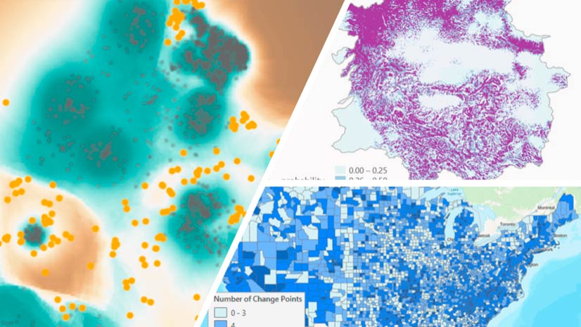
ArcGIS Pro 2.9 comes with some useful new spatial statistics tools, including presence-only prediction and change point detection.
ArcGIS Pro 2.9 comes with some useful new spatial statistics tools, including presence-only prediction and change point detection.
Key West, Florida, contributed its address point data to the ArcGIS World Geocoding Service, making the information more accurate for everyone.
Learn how to save, update, and share map symbology as a reusable style using ArcGIS Pro.
Learn the process of customizing an Esri basemap to meet your branding needs.
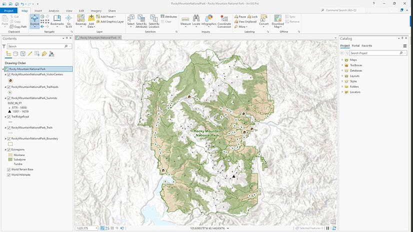
Esri cartographer John Nelson shows you how to use ArcGIS Pro to place tree symbols in the forested areas of your map.
Esri instructor Jack Horton demonstrates how to use ArcGIS Pro to edit a boundary line to accurately maintain land records data.
Learn to create a feature layer for your ArcGIS QuickCapture project using either ArcGIS Online or ArcGIS Pro.
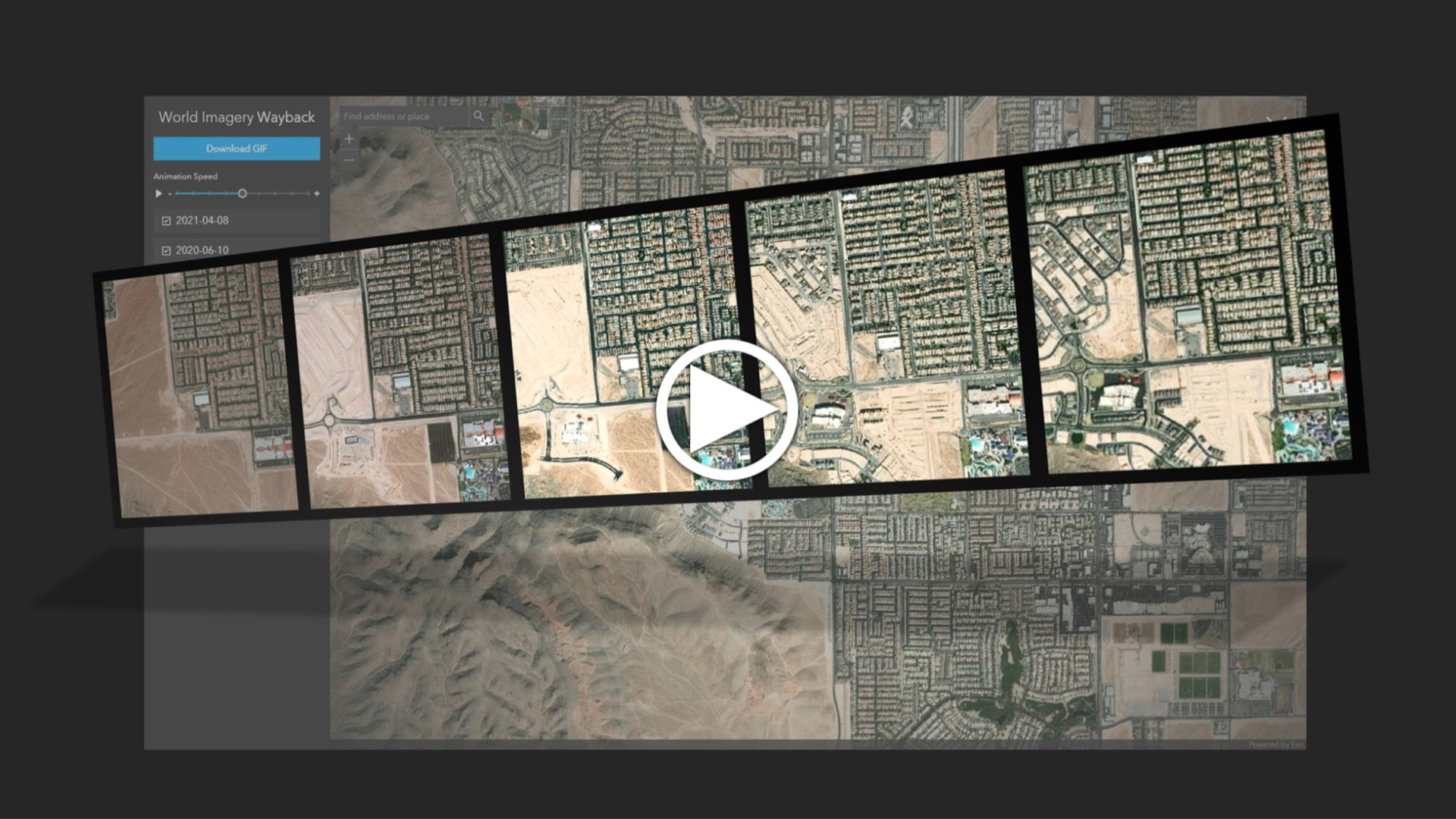
Learn to create and share animations of your images of interest using the World Imagery Wayback app.
Scott Sambell,of Ethos Environmental talks about the use of ArcGIS technology to eradicate invasive species in New Zealand.
Caitlin Scopel of Esri shares tips on how to deprecate outdated maps and layers.
Find out what's new in ArcGIS Online including Map Viewer updates, the data download capability, and two instant app templates.
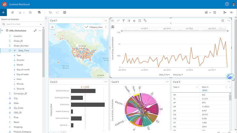
Esri instructor James Misfeldt demonstrates three ways to explore your data in ArcGIS Insights.