What’s New in ArcGIS QuickCapture
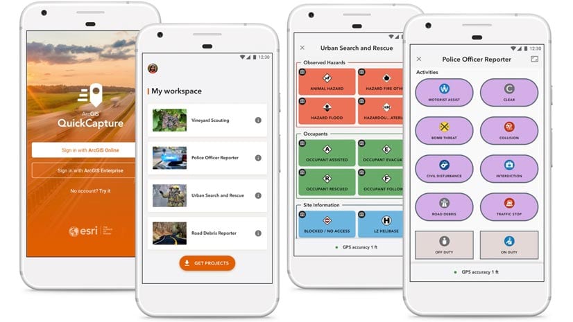
ArcGIS QuickCapture app is chock full of updates, including enhanced location tracking and thematic rendering. Learn more about what’s new.
ArcGIS QuickCapture app is chock full of updates, including enhanced location tracking and thematic rendering. Learn more about what’s new.
US customers can configure or upgrade their GIS by packaging ArcGIS with a Dell EMC PowerEdge Server.
What happens when a huge earthquake hits California? Joseph Toland of the USGS breaks down his GIS-based response model to prepare for disaster.
Learn how to make powerful web maps with ArcGIS Instant Apps in a higher education setting.
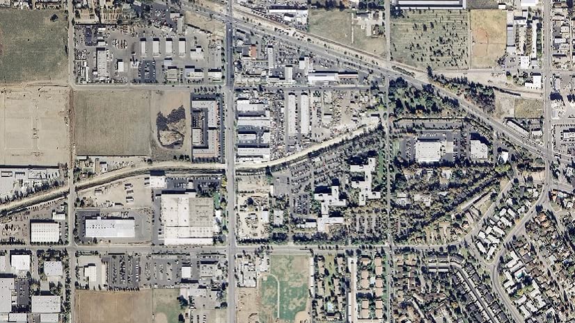
Learn how to use the Wayback app or the ArcGIS Living Atlas of the World to access imagery archives in ArcGIS Online.
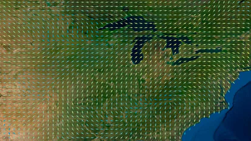
Learn the ArcGIS capabilities and workflows that give you the ability to visualize wind and ocean current data.
Learn how ArcGIS Pro users create knowledge graphs in ArcGIS Enterprise to analyze data and create effective solutions for real-world issues.
ArcGIS StoryMaps is better than ever, from a revamped StoryMaps gallery to a new text editor. Learn about these and other recent updates.
Showcase your ArcGIS Pro expertise with this new Esri technical certification.
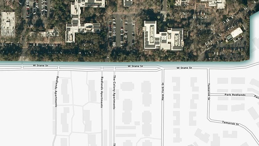
Esri cartographic designer Andy Skinner teaches you how to use sketch layers to enhance features in your ArcGIS Online maps.
Esri technology evangelist Bern Szukalski lays out a few simple steps to highlight specific content on your ArcGIS Online groups page.
The Guyana Forestry Commission's mission is to prevent deforestation, which protects the rainforests. GIS technology helps achieve this goal.