Making GIS Click: Lessons from a Stanford Classroom
A series of GIS courses grounded in real-world scenarios helps students from different majors apply spatial thinking in their own fields.
A series of GIS courses grounded in real-world scenarios helps students from different majors apply spatial thinking in their own fields.
A new agreement, aiming to expand geospatial and geomatics education, forms a framework to evaluate methods for scalable digital learning.
Master’s students use industry standard technology and work on projects that mirror professional environments to ensure workforce readiness.
A project to add location details to old photos provides geographic context to places that have been lost to history.
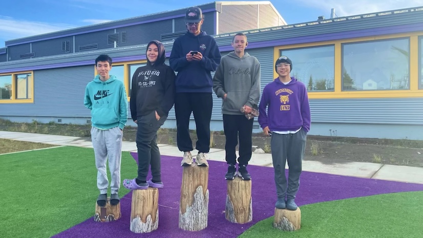
Students in a technical education school explore geospatial concepts, gather and analyze data, and make maps to display findings.
Dr. Bob Coulter, director of the Litzsinger Road Ecology Center, develops GIS-based projects to help students explore environmental issues.
From its origins to its newest chapter with the Youth Map Lab, the National 4-H Geospatial Team is a leader in adapting GIS for students.
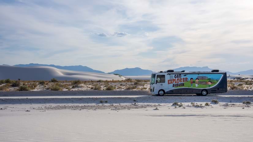
A 35-foot solar-powered RV doubles as a mobile science lab to provide immersive geoscience education for K–12 students.
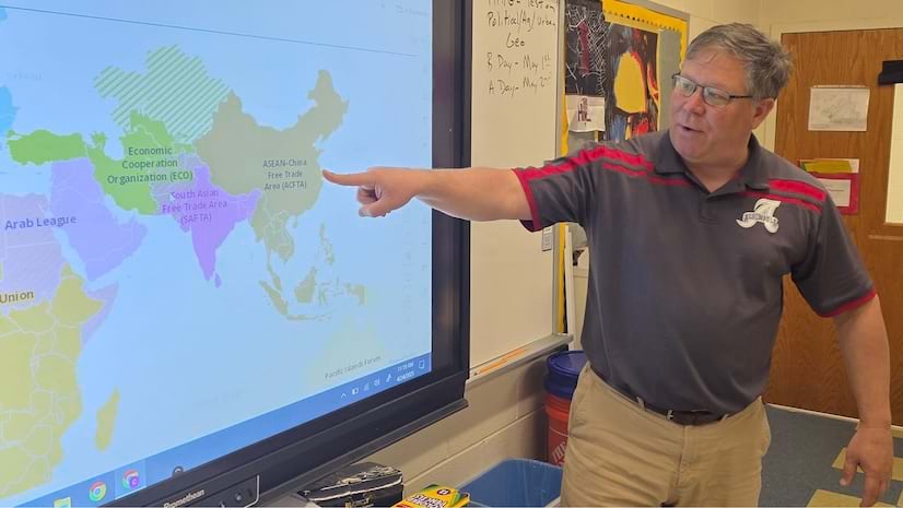
Chris Bunin, a high school social studies teacher in Virginia, uses ArcGIS to enhance instructional methods and engage students.
In this Faces of YPN article, meet Catherine DuBreck, an accomplished GIS change management consultant and undergraduate instructor.
Jacquie Black, a geography teacher from Scotland, explains how geospatial technology deepens her students' understanding of the world.
Explore how Washington College's GIS Program has introduced students across disciplines to GIS technology by offering hands-on experience.