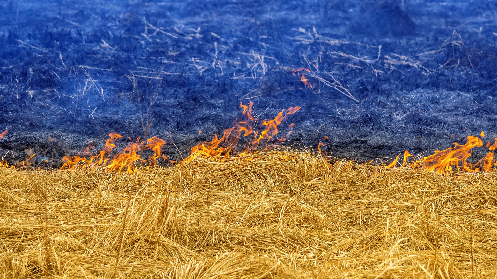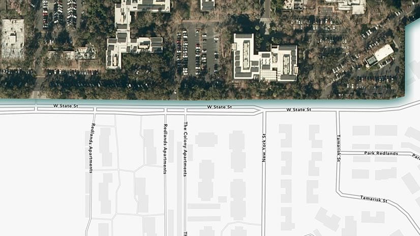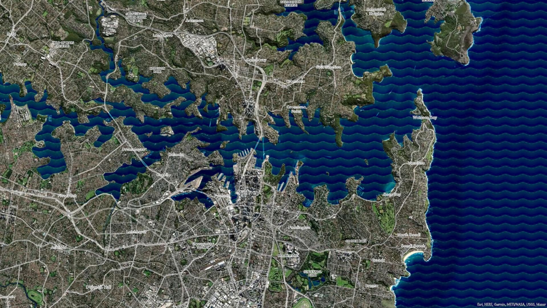
Make Waves in ArcGIS Pro
Learn how to make a wave effect in ArcGIS Pro that will set your map apart from the rest.
Learn how to make a wave effect in ArcGIS Pro that will set your map apart from the rest.
Using ArcGIS technology, Harvard Ukrainian Research Institute researchers have spent the last decade exploring the geographic history of Ukraine.
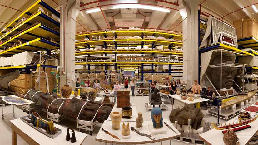
Experience a museum exhibit from your computer screen. Step inside these Smithsonian Institution stories created with ArcGIS StoryMaps.
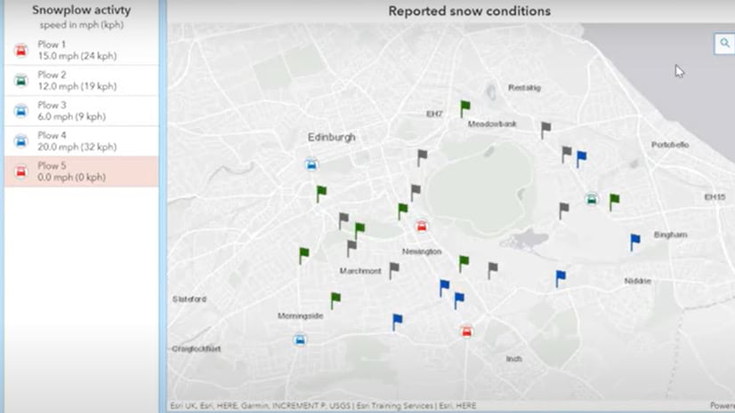
In this video, Esri instructor Brittney White teaches you to copy an existing ArcGIS Dashboard to explore how the dashboard was configured.
ArcGIS StoryMaps isn’t just for maps – you can use it to communicate your professional accomplishments to stand out to potential employers.
Learn why beaches form and what physical factors produce different colors of beach sand in this story created with ArcGIS StoryMaps.
Esri’s new no-cost massive open online course explores how integrating GIS, CAD, and BIM data enhances every phase of the AEC project life cycle.
Learn how to make powerful web maps with ArcGIS Instant Apps in a higher education setting.
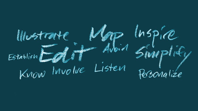
Know your audience. Personalize your story. These are just two of 11 tips on how to tell a good story from the ArcGIS StoryMaps team.
Showcase your ArcGIS Pro expertise with this new Esri technical certification.
Esri cartographic designer Andy Skinner teaches you how to use sketch layers to enhance features in your ArcGIS Online maps.
In this two-day course, you will learn to assess data quality, address data inconsistencies, and produce reliable results from your GIS projects.