Step into the Story Maps Labs
Story Maps Labs offer inspiration with innovative examples of custom story maps created by the Esri Story Maps team.
Story Maps Labs offer inspiration with innovative examples of custom story maps created by the Esri Story Maps team.
Location intelligence answers the where questions and the who, what, when, why, and how much questions.
Explore the United States from California to the New York island using the USGS Historical Topographic Map Explorer app.
The Nature Conservancy uses Esri ArcGIS to power its suite of online mapping decision support tools, which organizations can use to prepare...
Urban Observatory returns to the Esri User Conference in July as an interactive exhibit with more cities and themes to explore.
A new version of the World Ocean Basemap gives you the ability to use your own annotation and labeling or layer your data...
Esri just made making Map Tour story maps a very simple process, thanks to a new streamlined workflow...
Learn how to use two symbol transparency methods—layer and color transparency—and how to choose between the two depending on what information...
We did some digging and created a list of the top 10 apps and data services that have you talking—and shopping the Marketplace.
Urban Observatory creates an interactive museum experience that uses digital maps and geospatial analytics to bring cities to life.
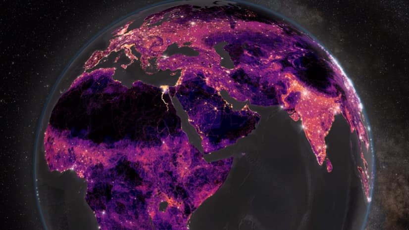
Esri’s Greyson Harris walks you through how to construct eye-catching, animated spinning globes using ArcGIS Pro.
Thomas Crowther talks about how location intelligence can be used to target reforestation efforts to reduce the impact of climate change.