Arnold Arboretum Mobile Mapping Increases Access to Botanical Collections
Arboretum visitors can use the Arnold Arboretum application to plan self-guided tours.
Arboretum visitors can use the Arnold Arboretum application to plan self-guided tours.
The Urban Observatory uses maps to answer questions about cities and how the people in them live, work, and play.
Two University of Wisconsin students used Esri ArcGIS to map one of the state's oldest cemeteries.
Wilderness conservation maps are on display at the Smithsonian Institution National Museum of Natural History in honor of the 1964 Wilderness Act
Tools in the new USGS Historical Topographic Map Explorer let you compare maps from different time periods and see changes.
Felix Finkbeiner, founder of Plant for the Planet, mobilizes a global tree-planting project to slow climate change.
This tutorial will show you how to perform a suitability analysis to create a web map of flood risk.
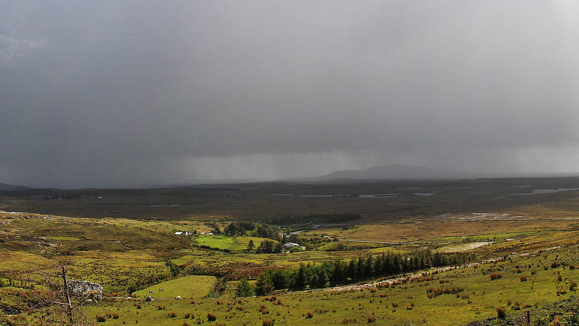
The Cork County Council in Ireland uses ArcGIS Online to monitor traffic and infrastructure problems during severe weather.
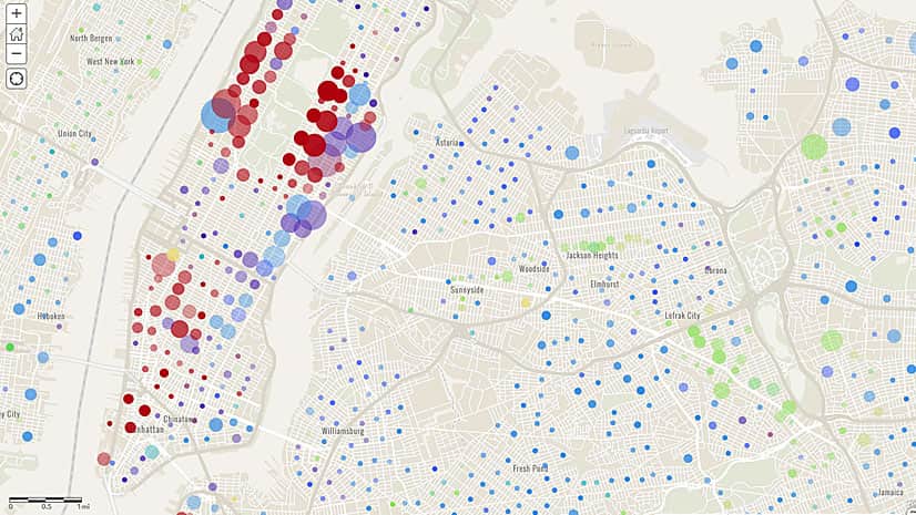
Need to map home values in the United States? Esri offers detailed home value data including three new multi-million-dollar ranges.
Steve McCulla from Belron, a business with brands such as Safelite AutoGlass and Carglass, shares a story of how the company uses GIS.
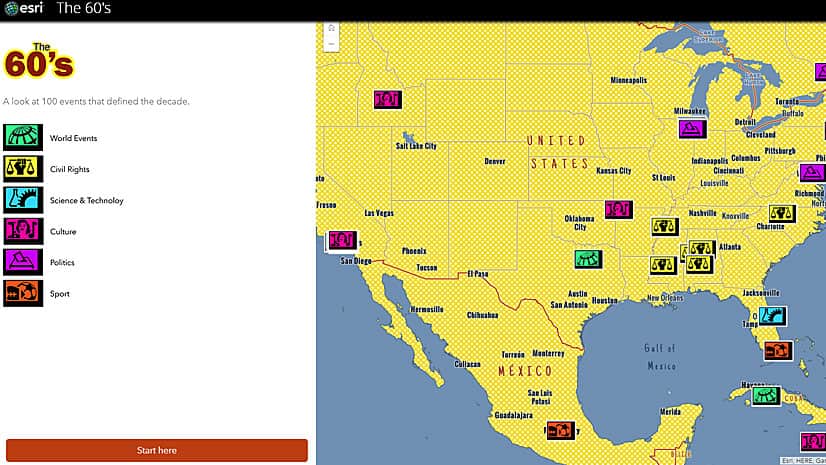
Esri's Andrew Skinner created an eye-popping story map about 100 significant 1960s events using the new Pop Art vector basemap.