Tips for Working with Images in ArcGIS StoryMaps
Learn which image types ArcGIS StoryMaps supports and the best practices for using the image files.
Learn which image types ArcGIS StoryMaps supports and the best practices for using the image files.
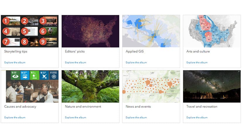
ArcGIS StoryMaps fill eight albums, available to inspire others who are ready to chronicle their own stories.
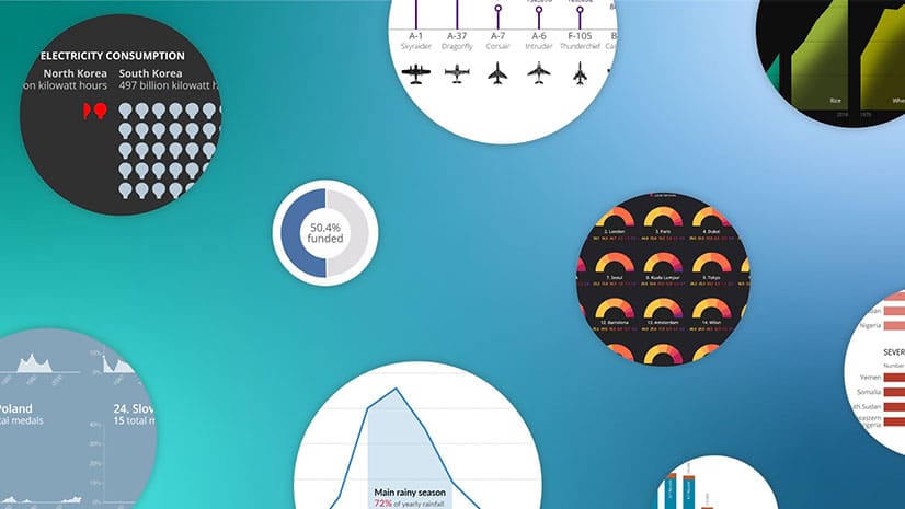
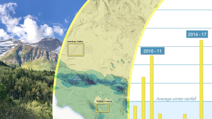
In some cases, it’s preferable to chart data rather than map it. Cooper Thomas of Esri shows you how to work with charts in ArcGIS StoryMaps.
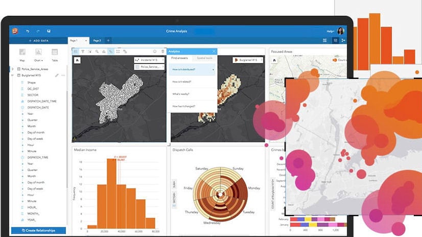
Discover the power of drag-and-drop data analytics in a one-day class.
The ArcGIS StoryMaps team tells the story of Victor Vescovo’s expeditions, including one to the deepest spot in the ocean: Challenger Deep.
In this StoryMaps Live webinar, you will get tips on how to make ArcGIS StoryMaps and learn how they are being used by Yale University students.
Esri introduced a slick new immersive experience in ArcGIS StoryMaps called explorer map tour. Mark Harrow of Esri shows you how it works.
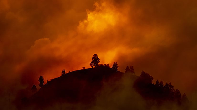
With the climate changing, what can be done to better manage and protect forests from destructive megafires?
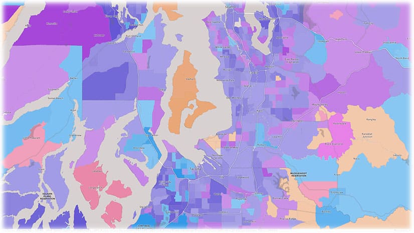
With the updated Media Map configurable app in ArcGIS Online, you can use the express setup to create and embed maps within minutes.
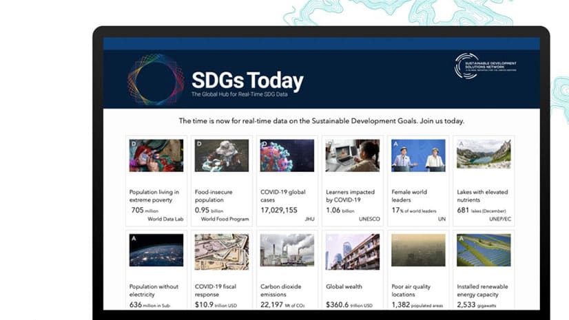
You have until November 25, 2020, to enter the ArcGIS StoryMaps Competition for Sustainable Development Goals (SDGs).
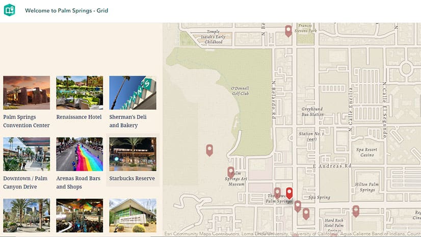
You can now use geotagged photos to locate tour places in ArcGIS StoryMaps guided tours. That's just one of the new enhancements available.
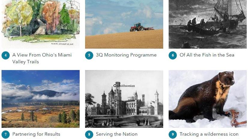
Allen Carroll, program manager for storytelling at Esri, shares a collection of his favorite stories created by the ArcGIS StoryMaps community.