These Boots are Made for Mapping
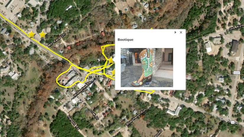
A story called Famous Boots of Wimberly, Texas, serves as an example of how to integrate GIS with art, history, and geography in education.
A story called Famous Boots of Wimberly, Texas, serves as an example of how to integrate GIS with art, history, and geography in education.
Generate ideas on how to solve climate change, equity, and poverty: Enter the ArcGIS StoryMaps Competition for Sustainable Development Goals.
Create story maps about special places you have visited and share your adventures with Esri.
Mission Blue, founded by oceanographer Sylvia Earle, uses ArcGIS StoryMaps to showcase Hope Spots, marine areas in need of protection.
As maps have switched from static paper items to digital conversations, you need to think about how interactive to make your maps.
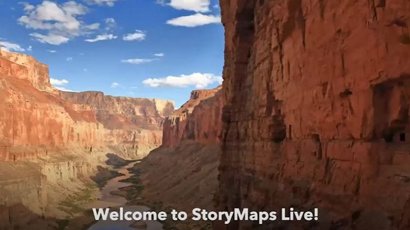
Representatives from the Grand Canyon Trust talked about the ArcGIS StoryMap they created called The Voices of Grand Canyon.
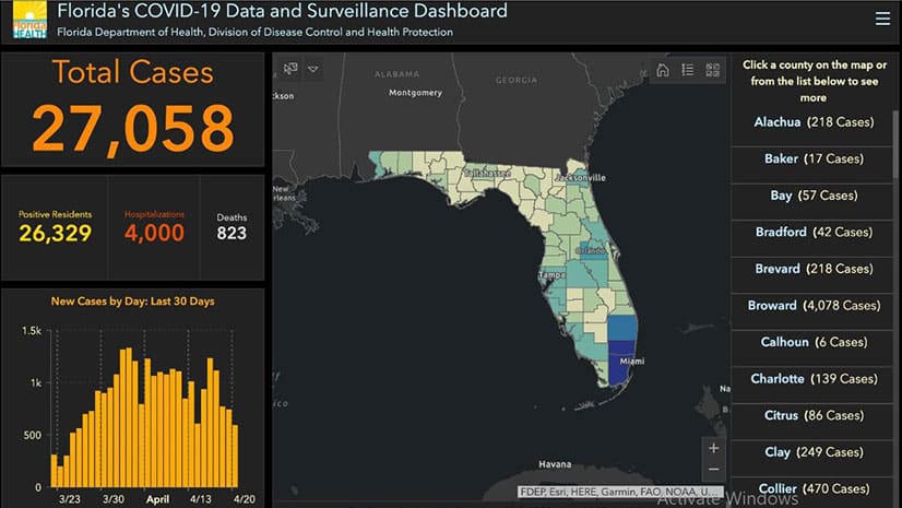
The GIS community’s phenomenal work supporting the response to the COVID-19 pandemic is showcased in a new ArcGIS StoryMaps app.
Esri technology evangelist Bern Szukalski offers several tips on how to properly find and use images in your stories.
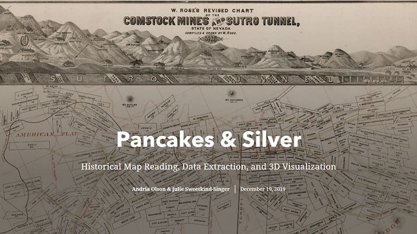
Stanford University Libraries won the grand prize in the Esri 2019 StoryMapper of the Year competition.
See how graphic elements such as icons and illustrations create a unified look and feel to your story map reinforce your organization's brand.
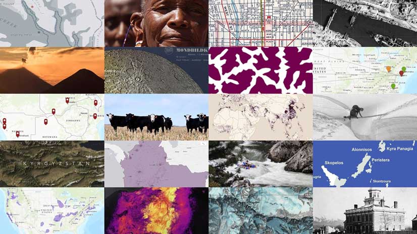
More than 1.1 million story maps live on ArcGIS Online. Here are a few favorites from 2019.
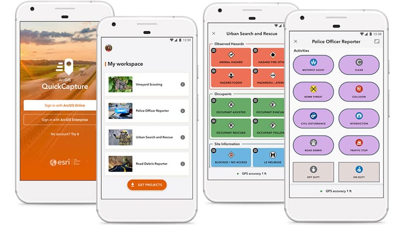
See what's new in the latest release of ArcGIS QuickCapture.