Esri Helps Train Digital Storytellers in African Protected Areas
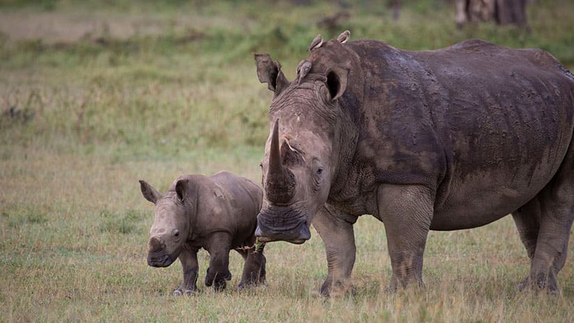
Protected area managers in Africa are taking storytelling and photography training, including lessons in how to use ArcGIS StoryMaps apps.
Protected area managers in Africa are taking storytelling and photography training, including lessons in how to use ArcGIS StoryMaps apps.
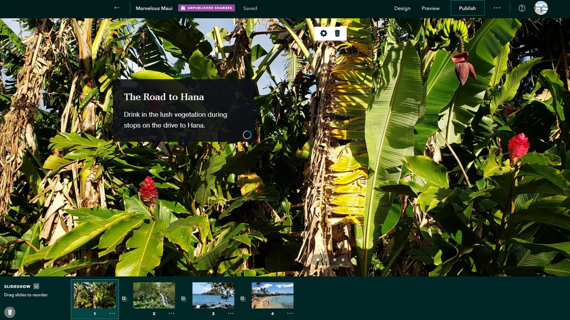
Design, tell, and display your stories more creatively with the new ArcGIS StoryMaps app tools such as slideshow, collections, and autoplay.
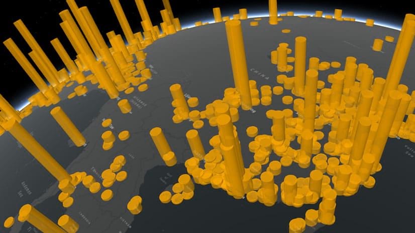
A story map by Cooper Thomas of Esri delves into where our planet's seven billion people live and their impact on the land, sea, and air.
The US Census Bureau used GIS to develop a web mapping app that identifies areas with households typically hard to count during the census.
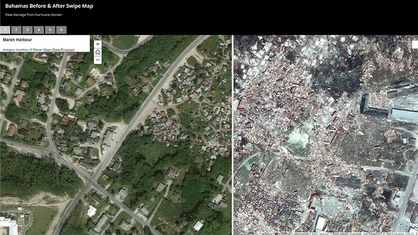
Using imagery from the Maxar Open Data Program, an Esri Story Map Swipe app reveals the devastation to the Bahamas caused by Hurricane Dorian.
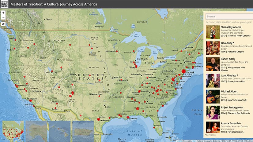
The Masters of Tradition: A Cultural Journey Across America story map profiles more than 125 artists from diverse cultures.
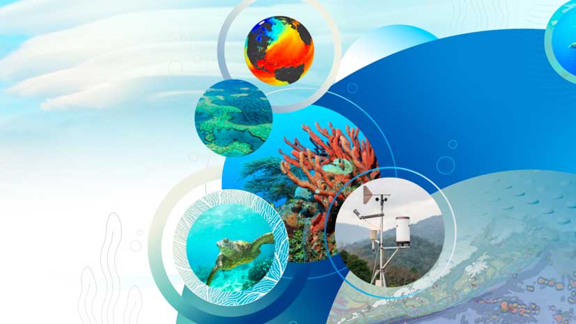
On the agenda for the Esri Oceanic and Atmospheric GIS Forum: User presentations, workshops and learning labs.
A lot! When you use the app builder, you will notice drag and drop media functionality, themes called Mesa and Ridgeline, and much more.
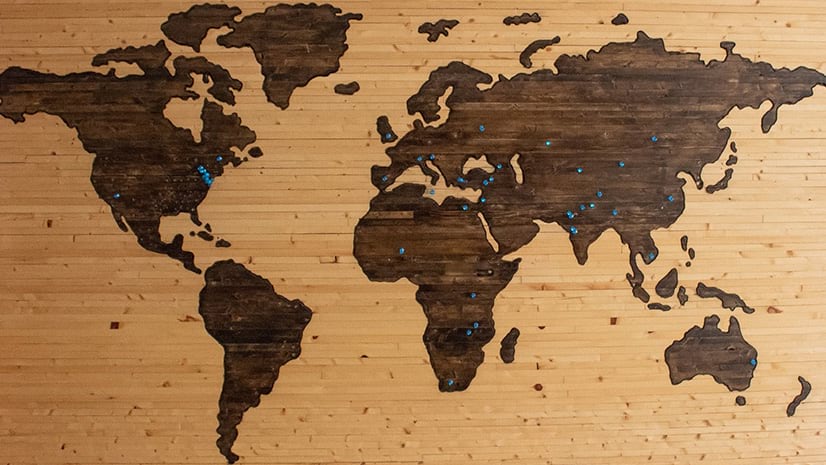
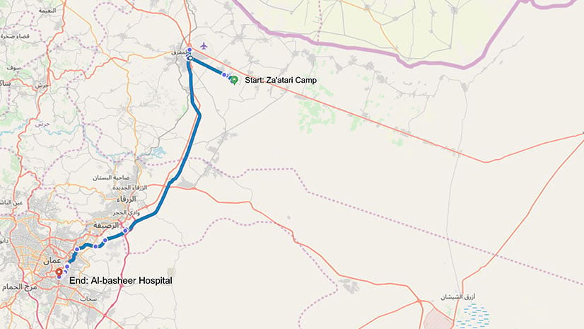
A group called RefuGIS taught Syrian refugees how to make story maps. One man used his new skills to talk about his ongoing cancer battle.
Esri's Jennifer Bell demonstrates how to create a story map about an excursion to Mount Everest using the new ArcGIS StoryMaps builder.
A law enforcement team in California uses Esri technology to find out what services homeless people need and match them with those services.
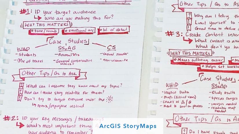
If you want the story you tell with the new ArcGIS StoryMaps builder to have impact, you better come up with a plan first.