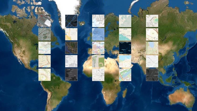
Upgrade to the New ArcGIS Basemap Layer Service
Upgrade to the new ArcGIS basemap layer service if you are using an open-source client API such as Esri Leaflet to build mapping apps.
Upgrade to the new ArcGIS basemap layer service if you are using an open-source client API such as Esri Leaflet to build mapping apps.
The African People & Wildlife organization uses ArcGIS software to analyze and visualize data on human-wildlife conflicts in Tanzania.
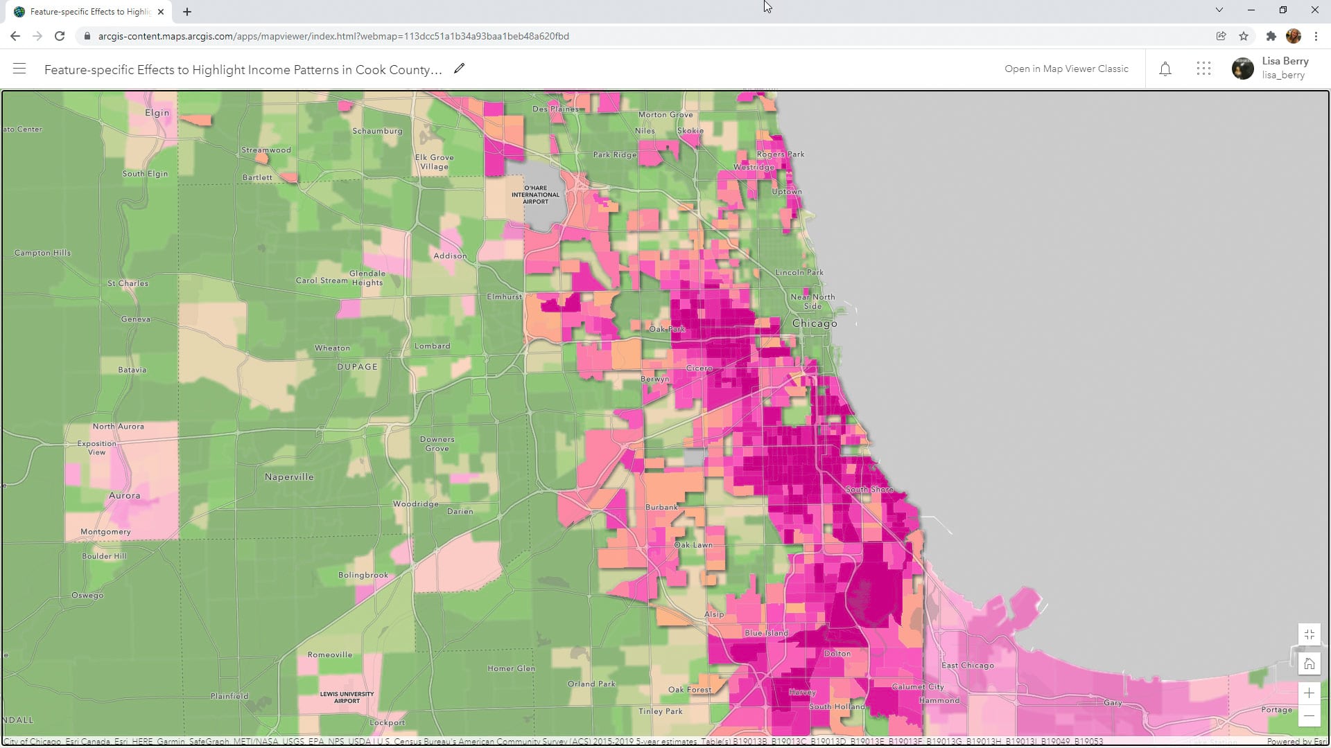
Learn to how to use a Map Viewer capability called feature-specific effects to emphasize a particular part of your map data.
Learn how to make your ArcGIS Online home page more discoverable to the public.
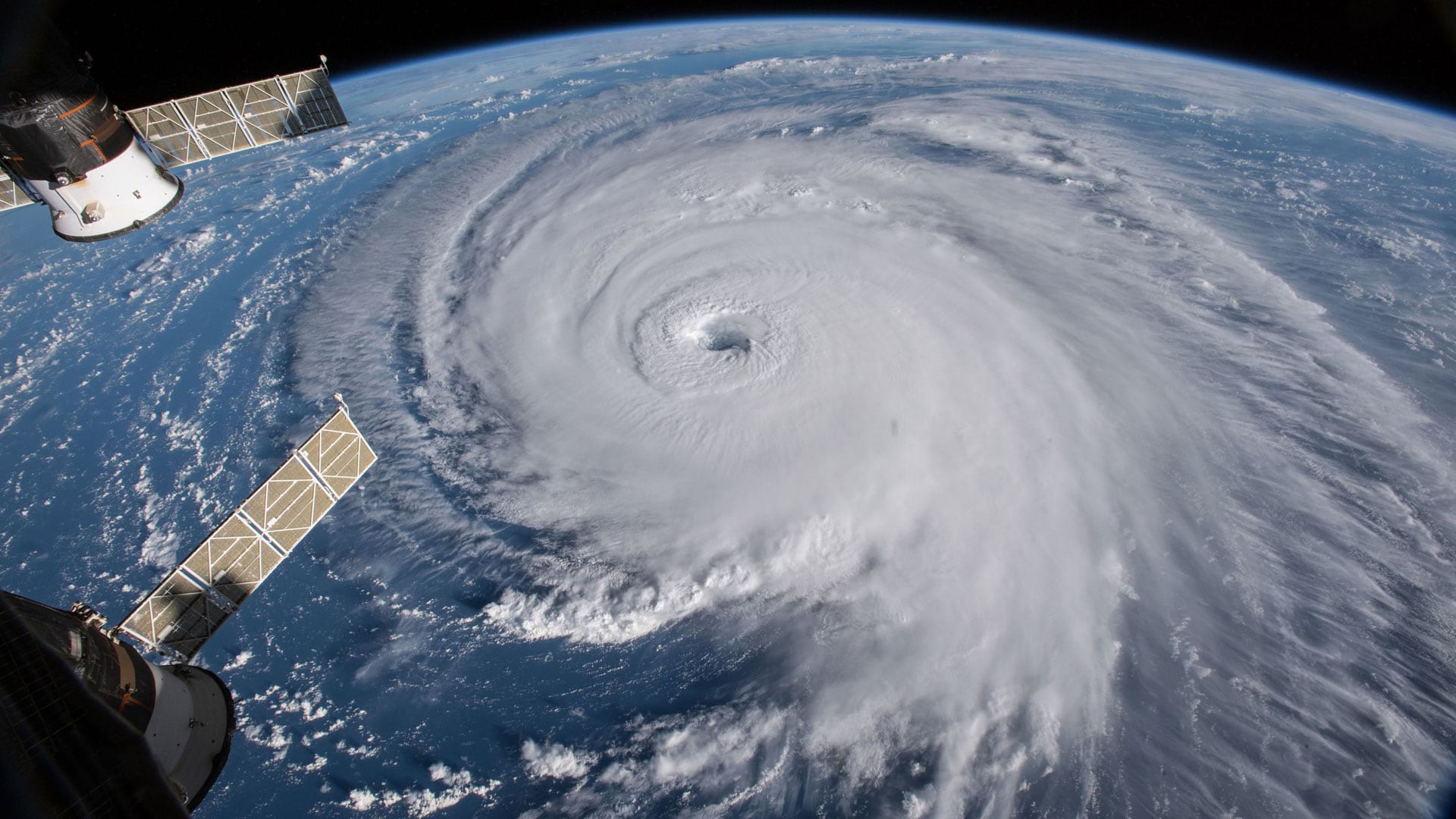
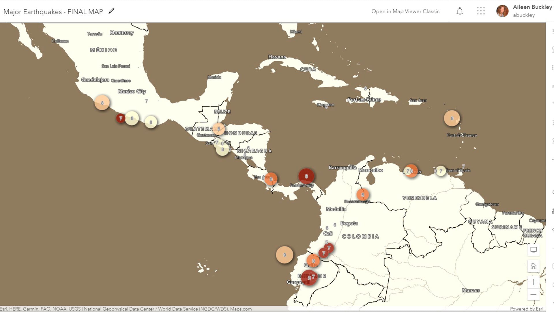
Group on Earth Observations (GEO), Esri, and many other organizations and nations work together to reduce disaster risks worldwide.
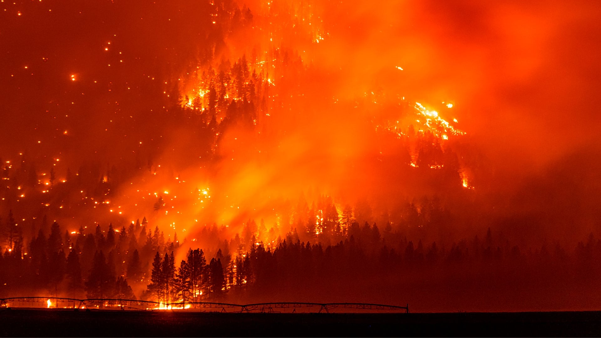
The WindNinja Mobile app, powered by GIS, provides firefighters with wind speed and direction forecasts in potentially dangerous conditions.
Orbital Insight's GO tool uses satellite imagery, artificial intelligence, geolocation data and ArcGIS Online basemaps to understand events.
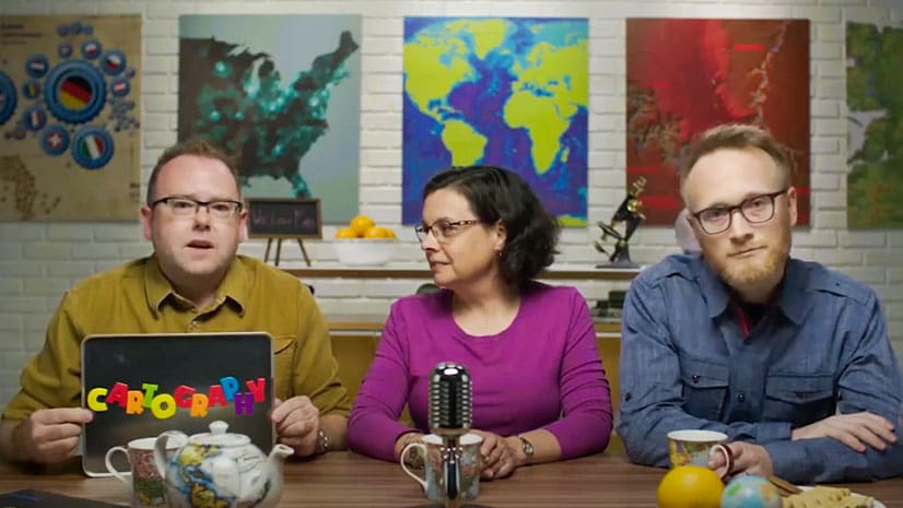
The Cartography. massive open online course (MOOC) starts February 16, 2022 and continues for six weeks. It's educational, free, and fun.
Your maps in ArcGIS Online will really pop if you use the new Effects capability in the Map Viewer.
Esri president Jack Dangermond gave a TED Talk recently, focusing on how GIS technology will be key to creating a sustainable future.
Key West, Florida, contributed its address point data to the ArcGIS World Geocoding Service, making the information more accurate for everyone.
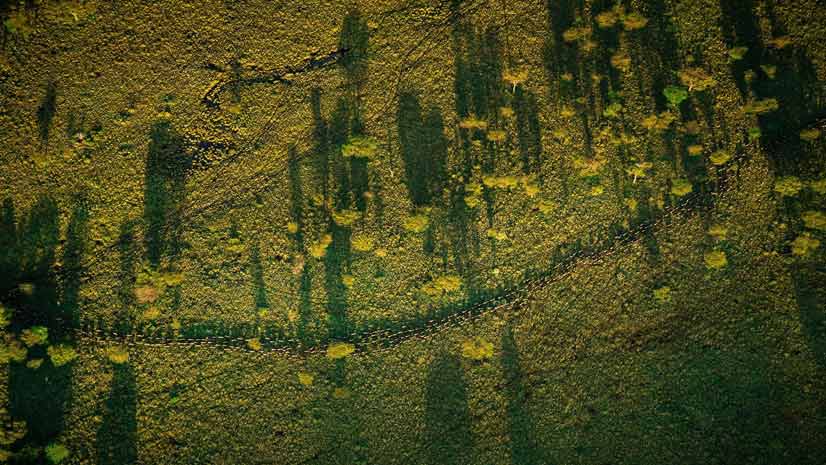
Esri cartographer Wes Jones looks to the clouds in the sky for mapping inspiration.