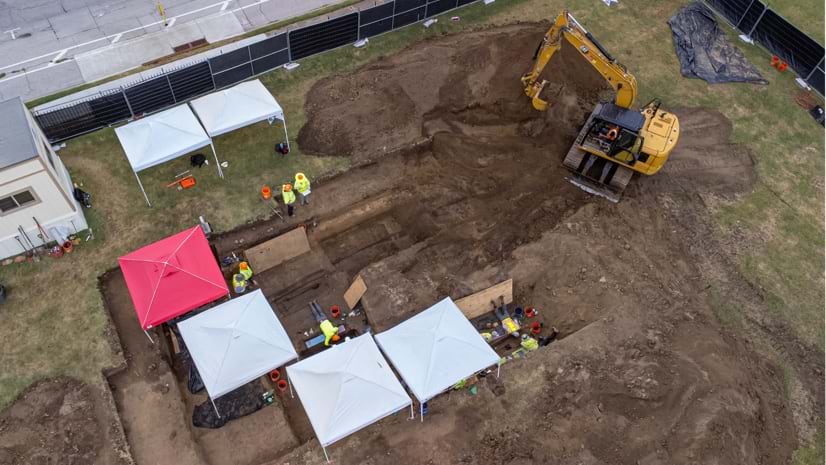
A Lost History, Recovered
Esri senior writer Karen Sullivan discusses the legacy of forgotten black burial grounds and the initiative to document them.
Esri senior writer Karen Sullivan discusses the legacy of forgotten black burial grounds and the initiative to document them.
Jack Dangermond and National Geographic Society CEO Jill Tiefenthaler discuss technology and the power of storytelling.
Visualize quotes, stories, sentiments, and experiences using labels, pop-ups, dashboards, and word clouds.
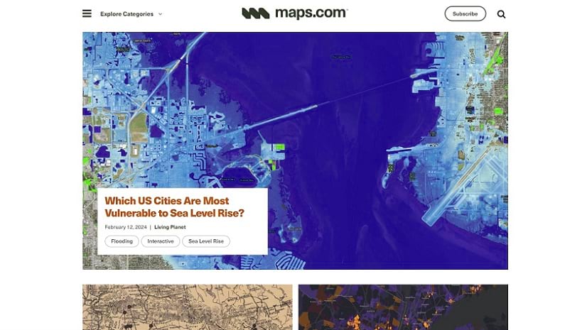
Check out this new platform dedicated to showcasing and celebrating beautiful and remarkable maps, as well as those who make them.
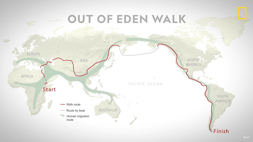
Join National Geographic Fellow Paul Salopek on his ten-year trek around the world to explore the people who make societies work.
ArcGIS for Teams is working to support the collaboration needs of security organizations worldwide.
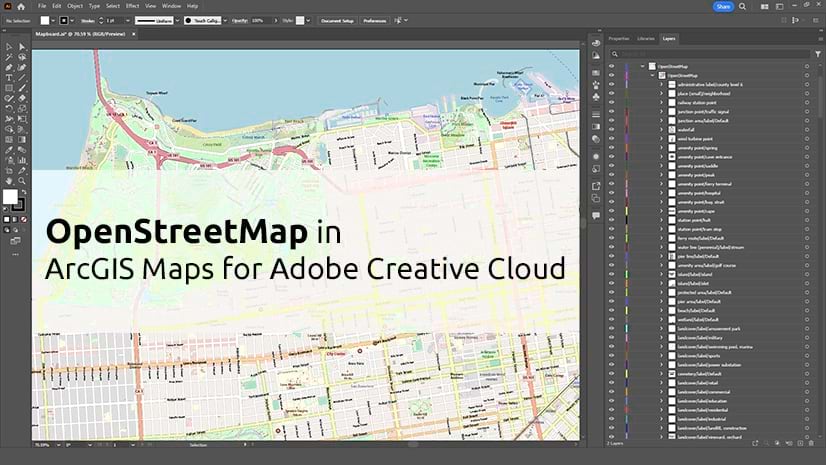
See how OpenStreetMap vector basemaps and layers work in the ArcGIS Maps for Adobe Creative Cloud extension.
Before you publish a web map, take a few minutes with these 10 tips to confirm that it’s ready to share.
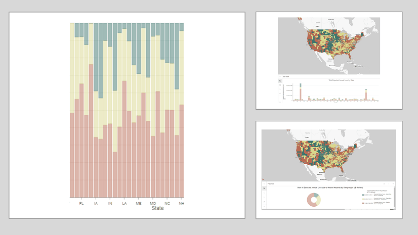
Much like how there are principles behind food and wine pairings, there are principles when it comes to pairing charts with maps.
In this introductory guide, you'll learn the basics of creating and using network diagrams for ArcGIS Utility Network.
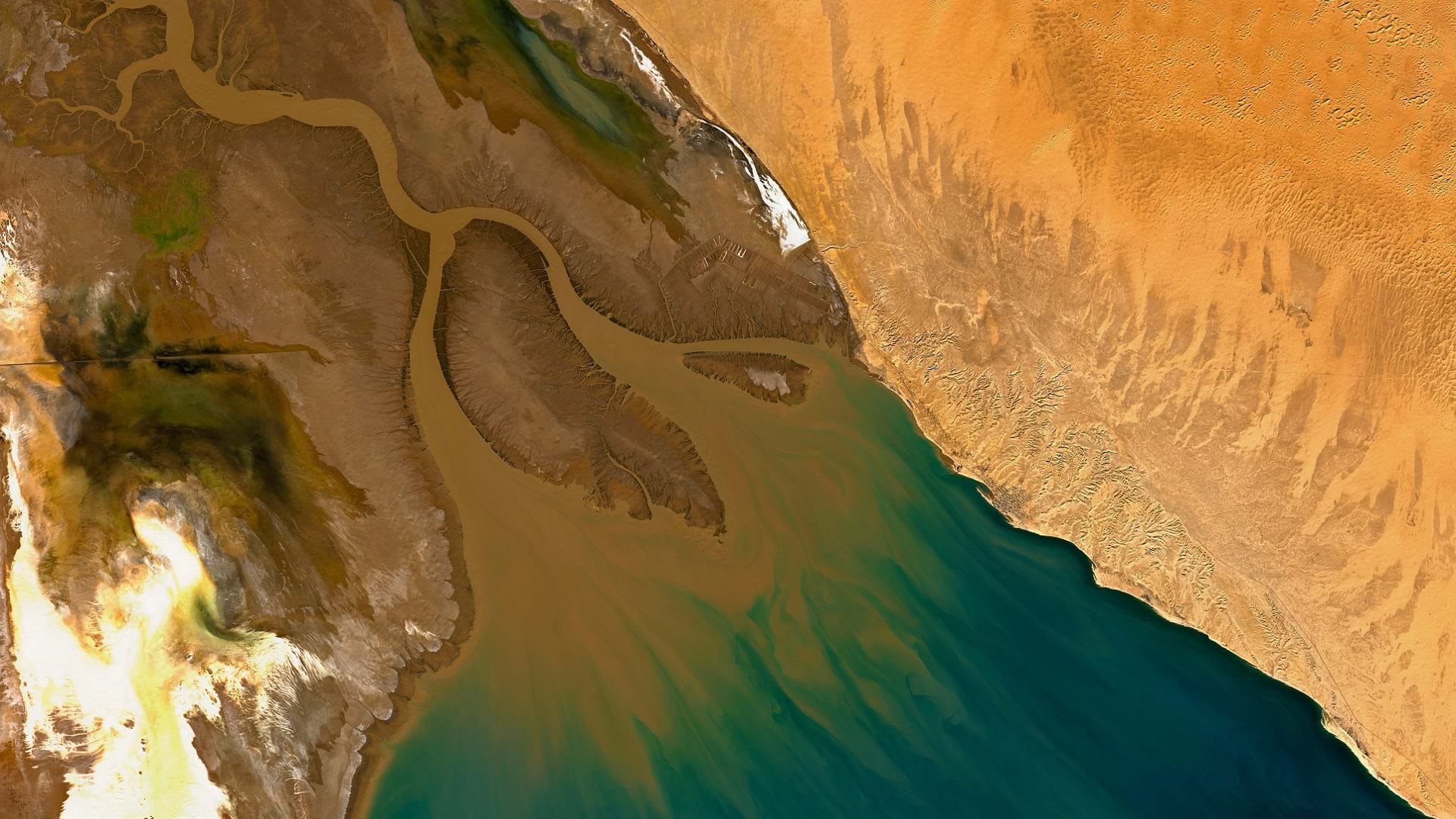
With imagery and remote sensing, the Audubon Society is working to preserve waterbird habitats in the Colorado River delta's largest wetland.
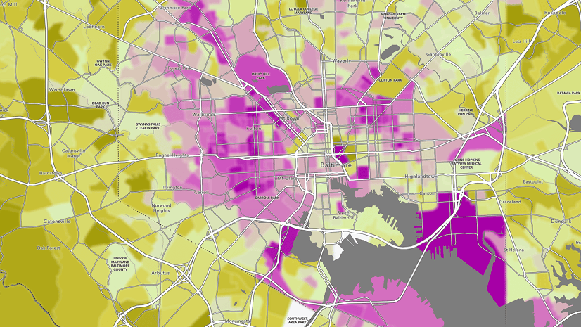
Blur is the perfect effect for data that has been protected with differential privacy. Learn more about using the effect in this blog.