Fifteen Cartography Tips for ArcGIS Pro Users
If you want to learn how to outline a polygon with dots instead of dashes or add color to a black and white map, this story is for you.
If you want to learn how to outline a polygon with dots instead of dashes or add color to a black and white map, this story is for you.
Esri cartographers will show you how to hone your mapping skills during a free massive open online course (MOOC) that starts in February.
Learn the process of customizing an Esri basemap to meet your branding needs.
Suffolk County, New York, officials use dashboards and location-based data to ensure residents have equitable access to the COVID-19 vaccine.
What are the advantages of sharing imagery and raster data within ArcGIS using map tile cache, tiled imagery, and dynamic imagery?
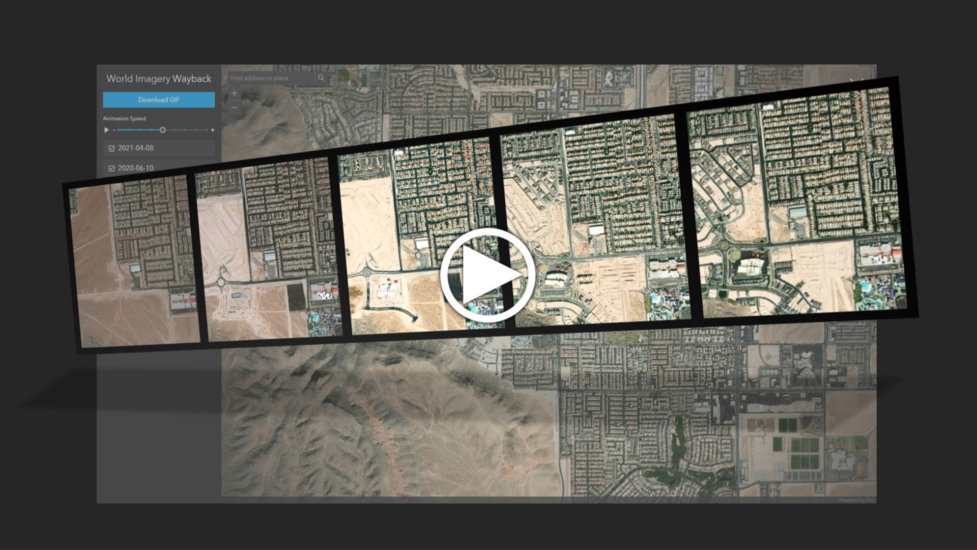
Learn to create and share animations of your images of interest using the World Imagery Wayback app.
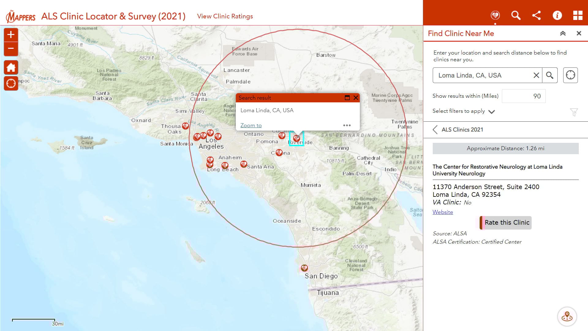
Pat Dolan, diagnosed with ALS or Lou Gehrig's disease, uses his GIS knowledge and skills to help other ALS patients locate care services.
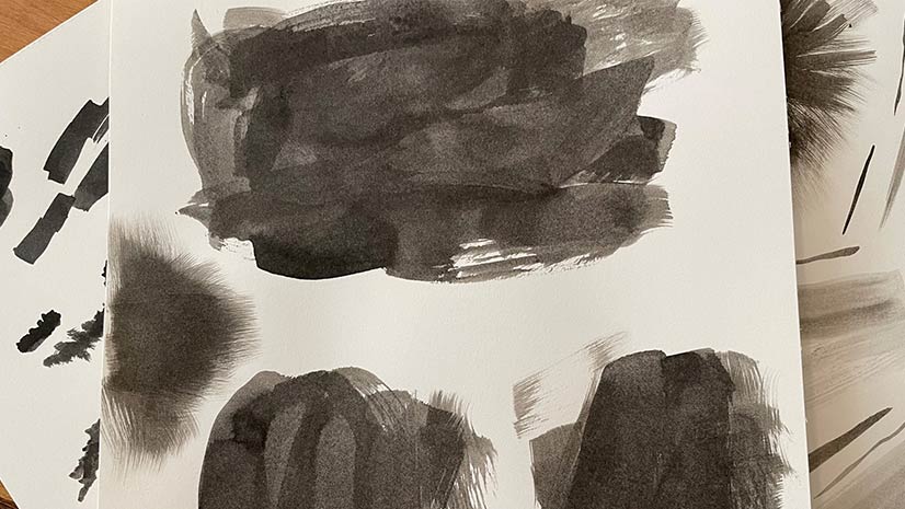
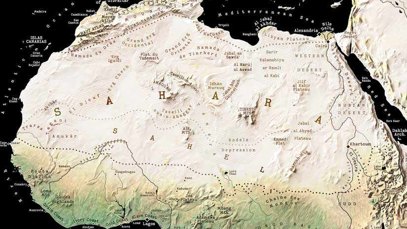
Esri cartographer Wesley Jones describes how he made an ink landscape inspired painting in ArcGIS Pro.
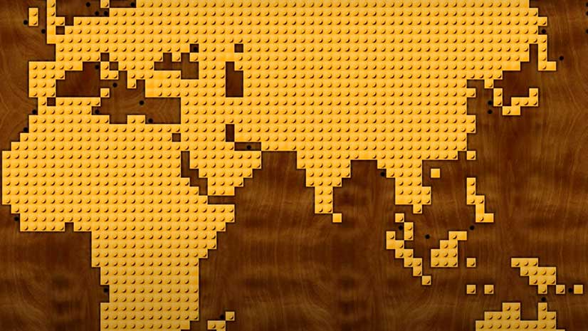
Watch Esri cartographer John Nelson use ArcGIS Pro to turn map polygons into something that resembles a popular toy.
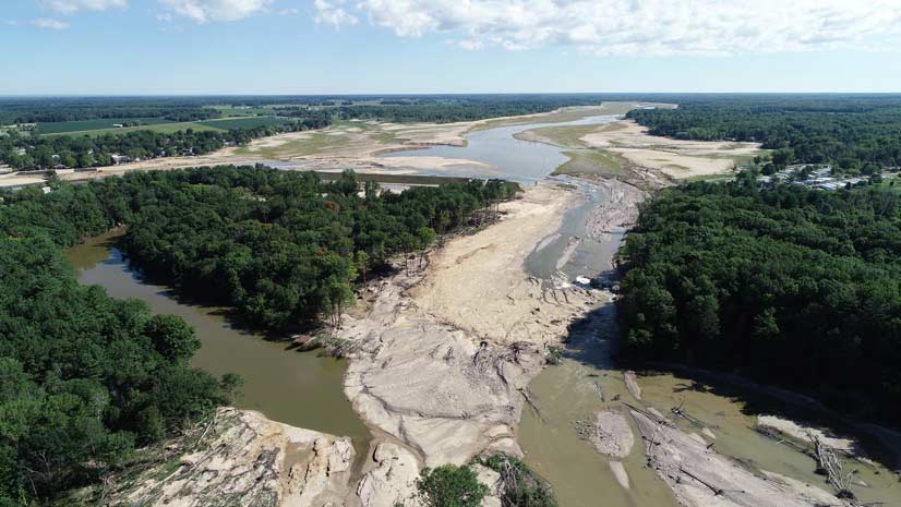
What does a county GIS department do to update maps when two lakes become a river due to dam failures?
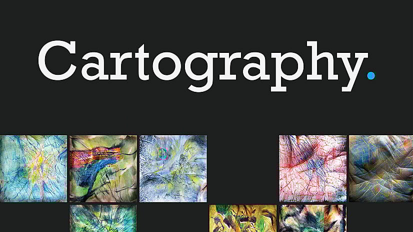
Join Esri cartographers Edie Punt, John Nelson, and Kenneth Field for an informative and inspirational talk on cartography.
ArcGIS Data Appliance 7.2 includes Vector Basemaps plus preloaded imagery, basemaps, and reference layers, all behind your firewall.