I love seeing purposefully placed clouds on maps. I think they are one of the best ways to add energy and drama. Whenever I get a chance to add them, I jump at it.
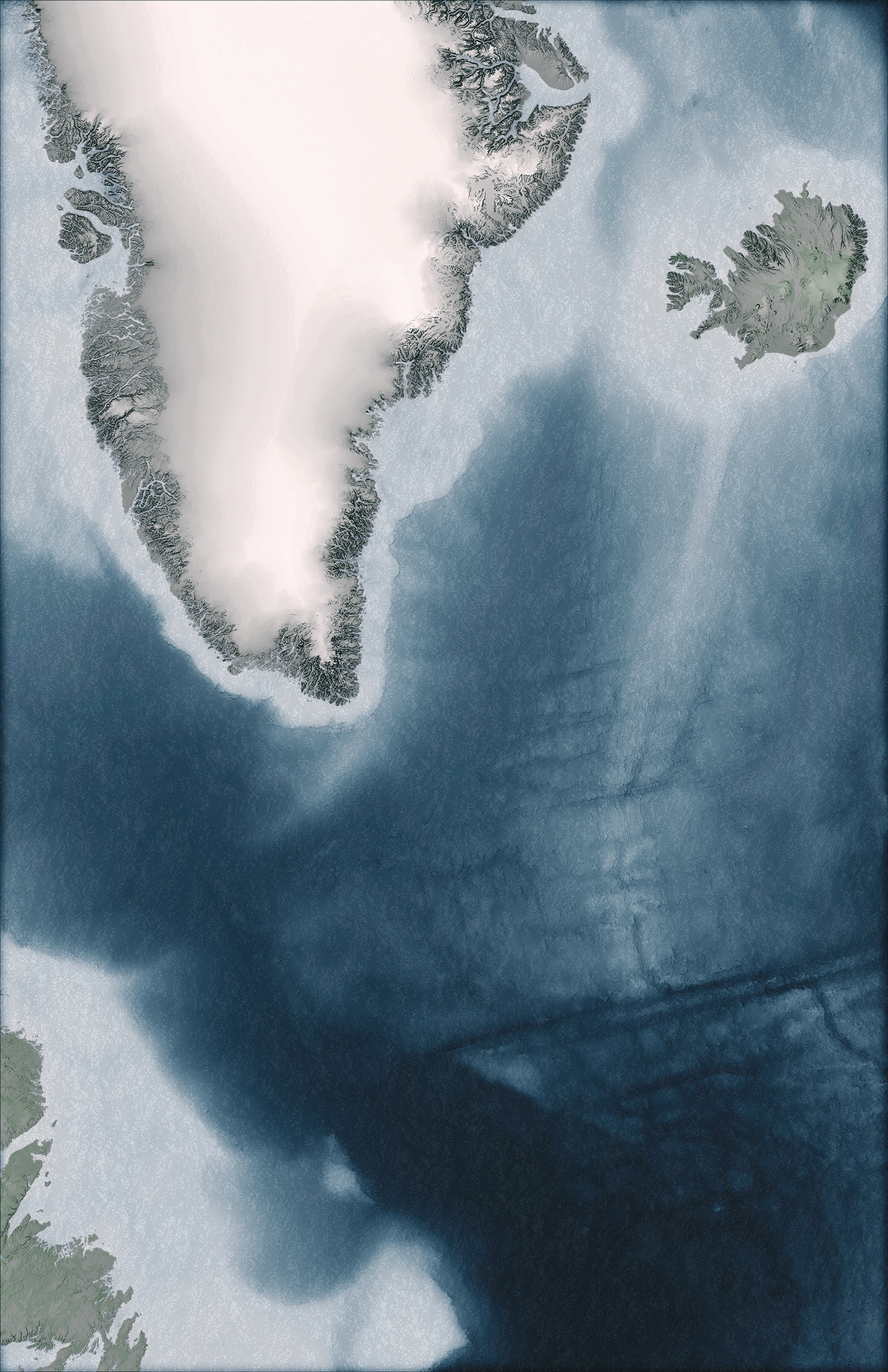
Currently, I am working on a map of Viking exploration. I am interested in their settlement at L’Anse aux Meadows from 1000 years ago. I thought clouds would be a great way to add some thematic tension and mystery to the map.
Below, I explored both static and animated cloud options.
STATIC MAP
Here is the Viking map pre-clouds

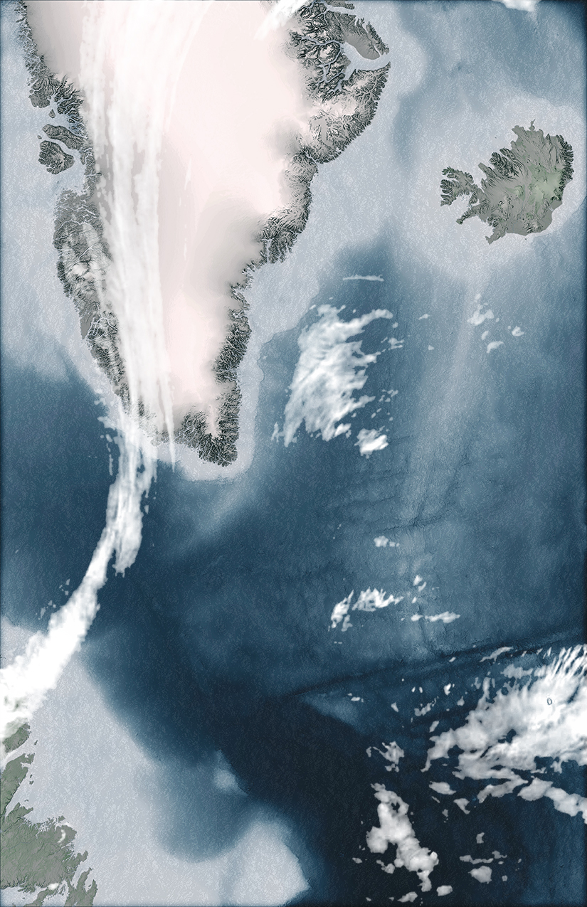
Here it is with clouds

Where did I get that cloud layer? NOAA. If you have never been to this site, it is a must!
Thematically, I liked how the clouds created a barrier between the world known by the Vikings, and the world yet to be explored.
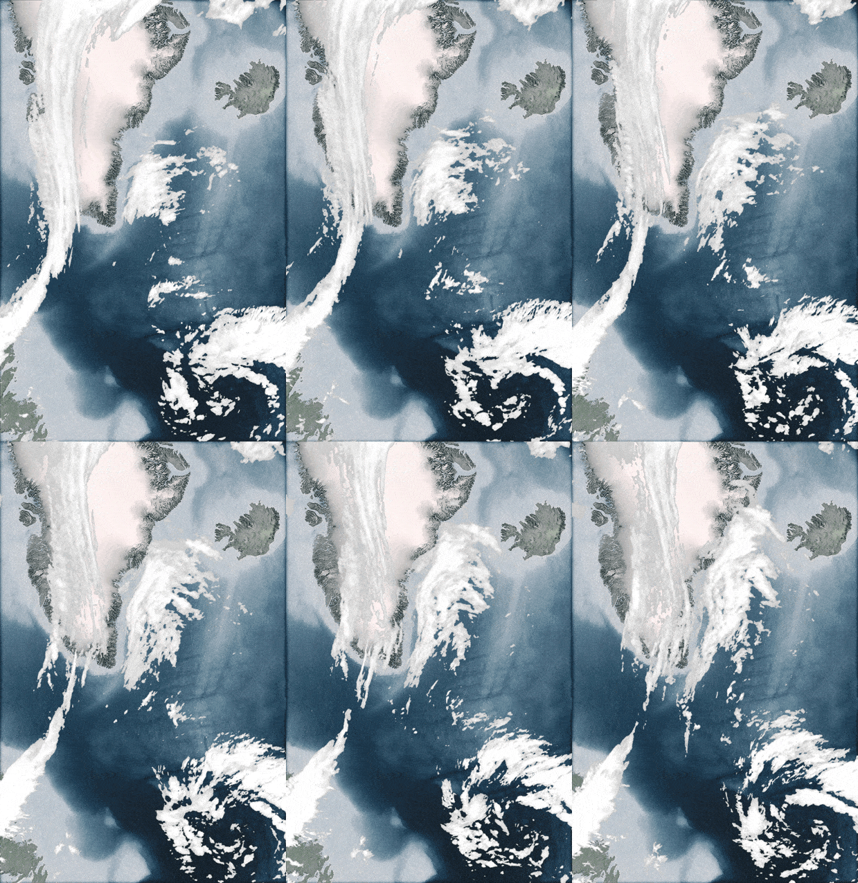
ANIMATED MAP
As I discussed in this blog about animation, adding movement to a map can make it more appealing and attractive. Instead of grabbing 1 cloud layer from NOAA, I grabbed 40, and made an animation. Thematically, I like how it makes the map come alive, and makes the weather look like it is pushing against further Viking exploration to the west.

Two simple examples, and hopefully ideas for you to consider when making your next map.


Commenting is not enabled for this article.