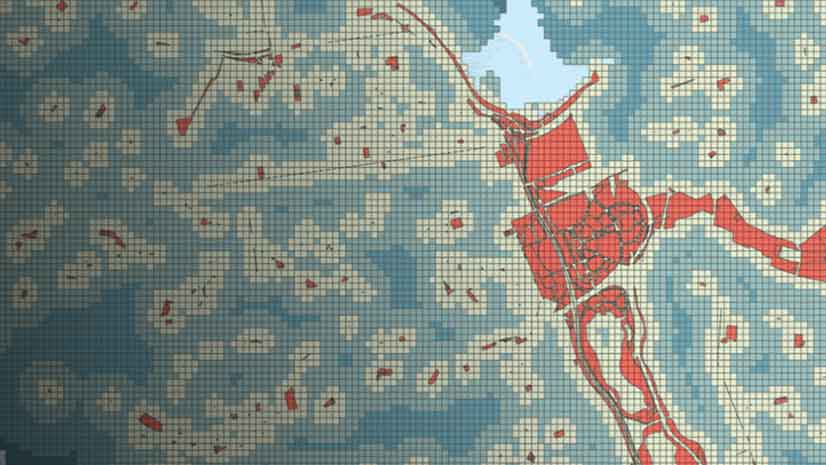
Personalize Your Community Basemap
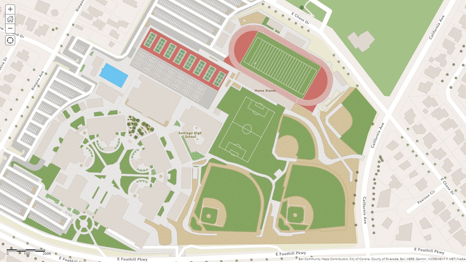
Use the Community Maps Editor app to create and edit detailed features such as buildings, landscaping, sports facilities, and trees.
Use the Community Maps Editor app to create and edit detailed features such as buildings, landscaping, sports facilities, and trees.
Learn what cool new capabilities have been added the latest release of 30 Esri software products, including AppStudio for ArcGIS and ArcGIS Pro.
Lisa Berry from Esri shows you how to add layers containing census data from the American Community Survey (ACS) to your maps and apps.
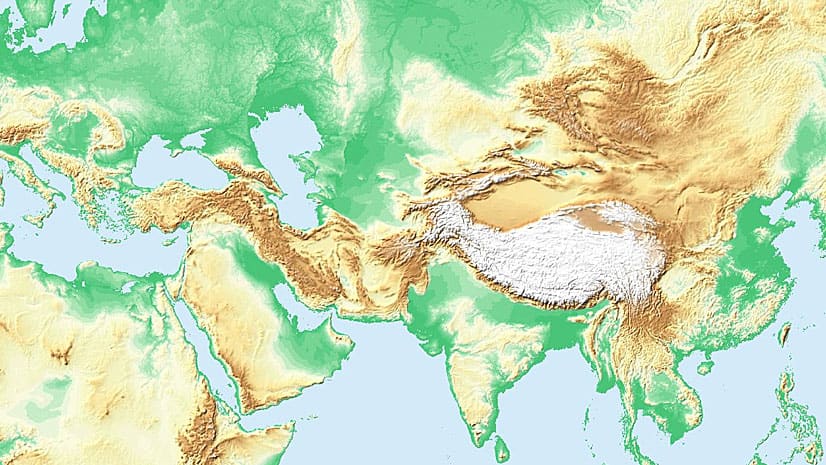
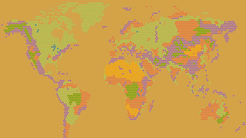
Learn ways to use ArcGIS Living Atlas of the World subscriber content in public maps and apps.
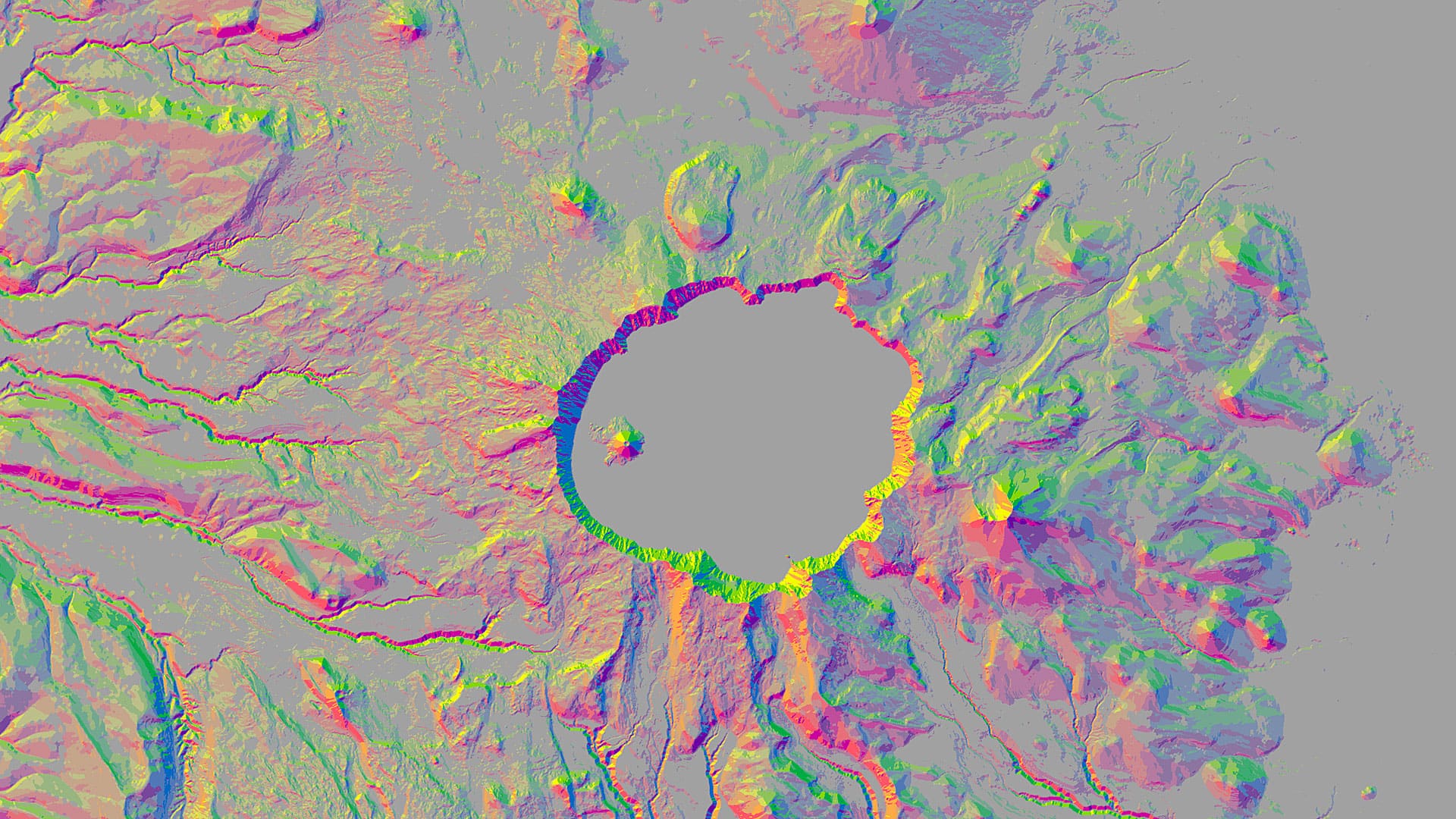
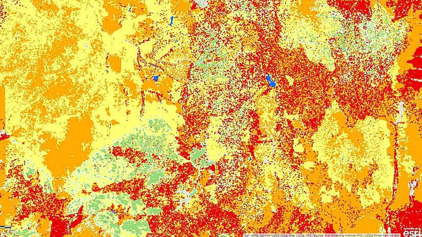
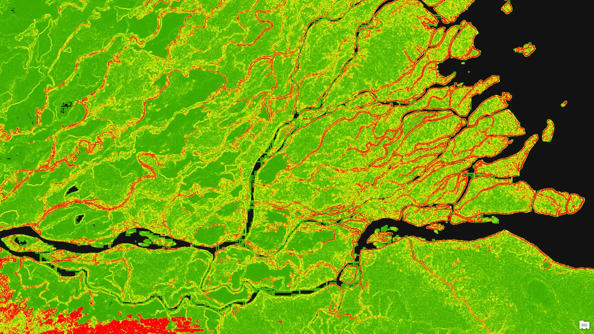
You can use aspect-slope maps to identify landscape features such as ridges or predict fire risk. Learn how to make one using ArcGIS Pro.
Watch this online workshop to find out what type of content ArcGIS Living Atlas of the World contains and how to organize and use it.
While the drought has eased in some parts of the western United States, other areas still suffer.
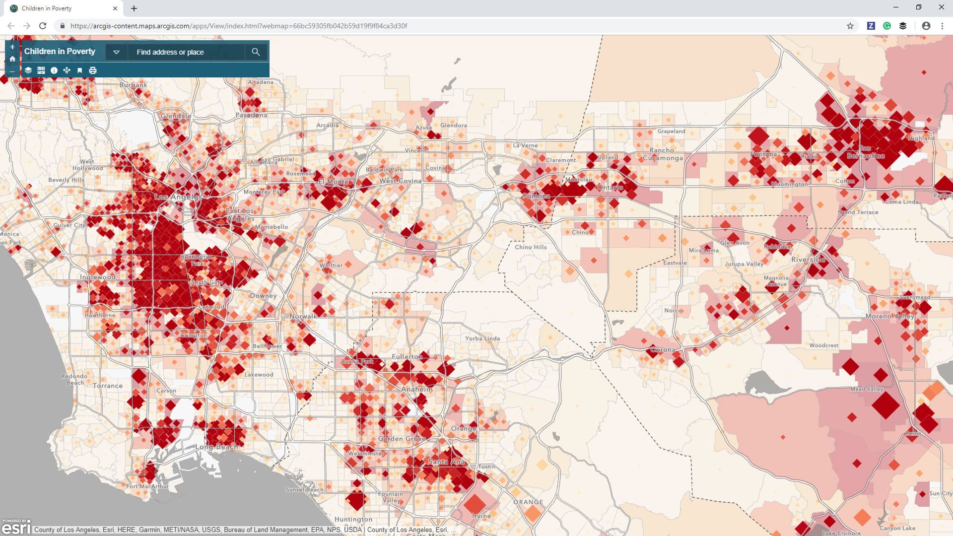
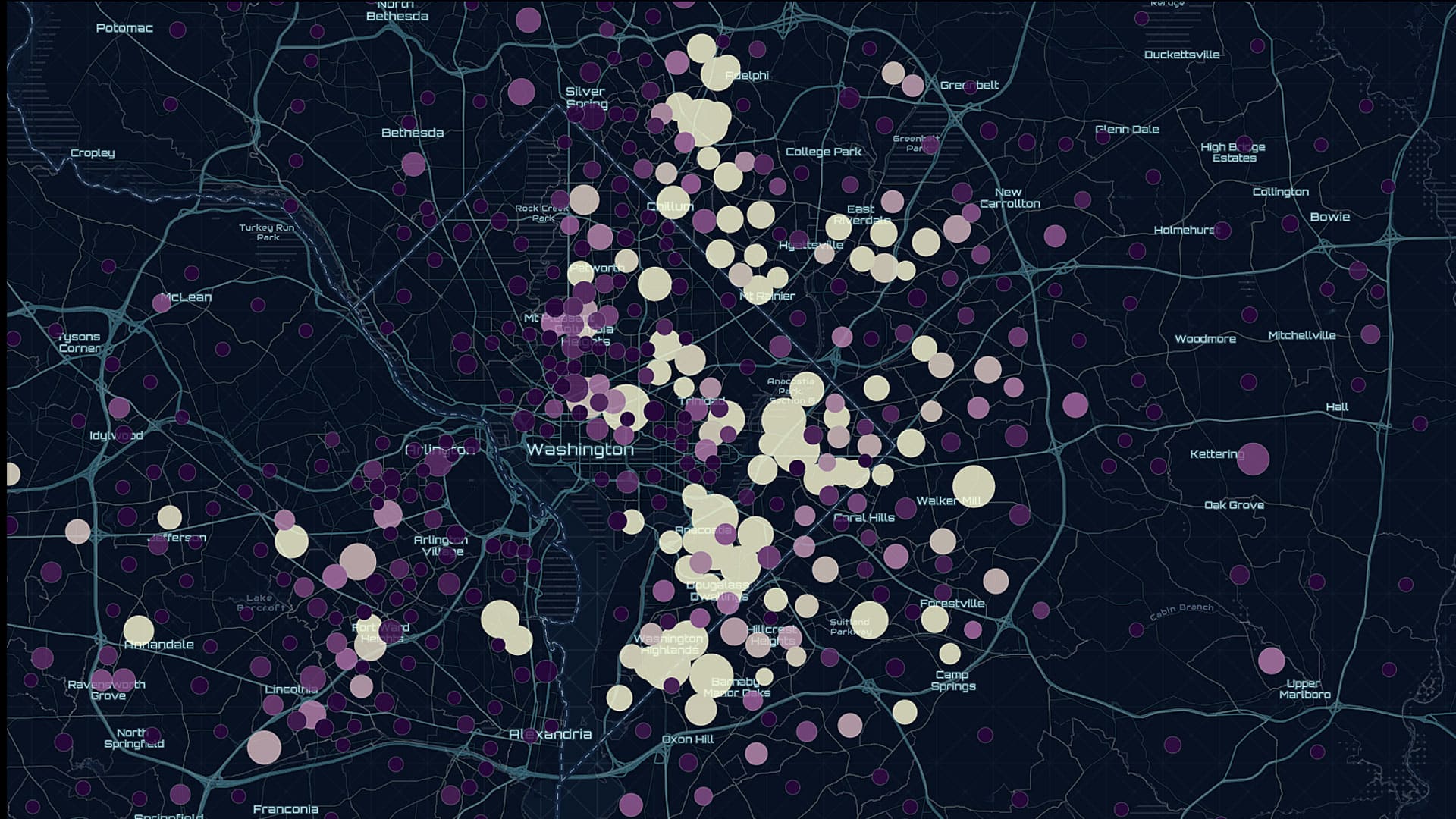
The new Maps for Public Policy web app from Esri provides free access to preauthored policy maps, allowing anyone to explore community issues.
Learn to create a minimalist map graphic for your website that has what Esri cartographer John Nelson calls a “spatio-technical vibe.”
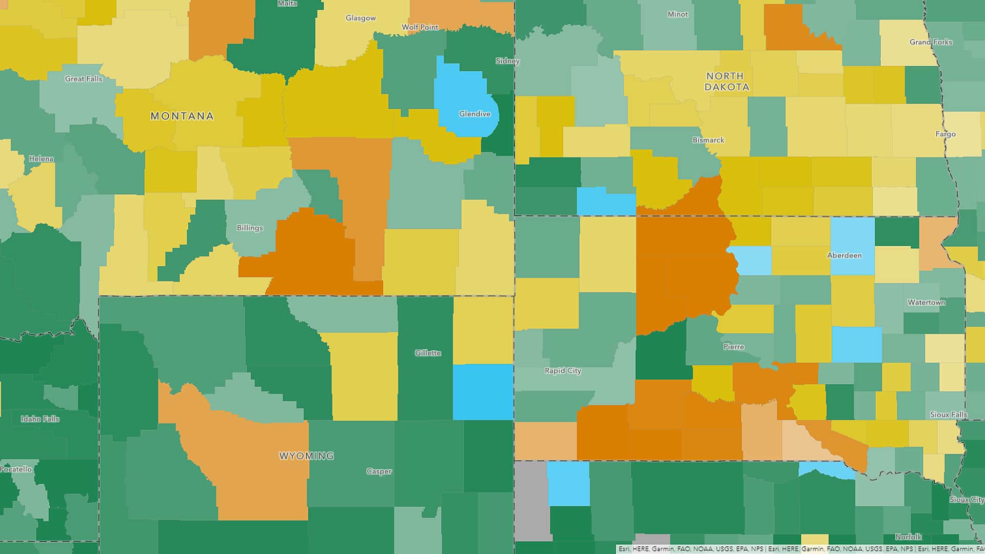
Maps and data from the most up-to-date American Community Survey (ACS) five-year estimates are now available in ArcGIS Living Atlas of the World.
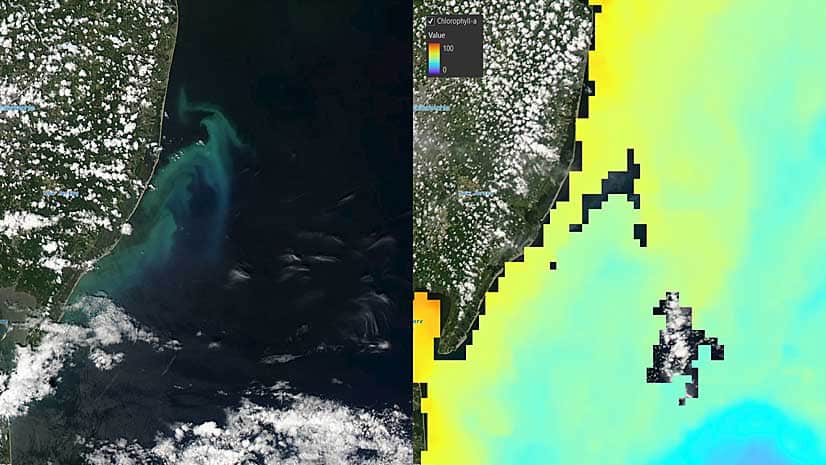
A new chlorophyll layer added to ArcGIS Living Atlas of the World will help researchers study ocean health.
Learn how to work with the Terrain layer, a versatile raster elevation layer that's available from the ArcGIS Living Atlas of the World.