Make Your Own Flood Map in a Minute
Esri technology evangelist Bern Szukalski uses content from the Living Atlas to show you how you can make your own flood map in a minute.
Esri technology evangelist Bern Szukalski uses content from the Living Atlas to show you how you can make your own flood map in a minute.
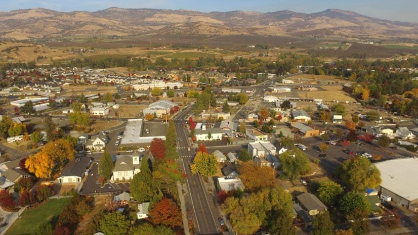
ArcGIS Living Atlas of the World content was used to build simple yet informative maps of a devastating fire near Ashland, Oregon.
Learn how to map a map of a fire in about a minute, locate the hot spots, and find out how many people live in the affected area.
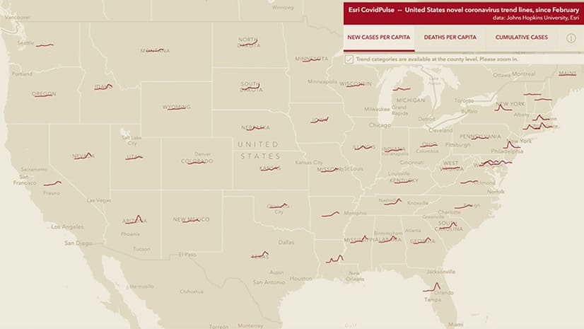
Check the new CovidPulse map from Esri to see the trend lines for reported cases of and deaths from COVID-19 in the United States.
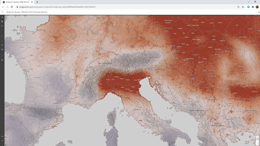
See how air quality has changed over time using a new layer that has been added to ArcGIS Living Atlas of the World.
Rich Nauman from the Esri environment team offers great advice on how to best convey information in your maps.
Cartographer John Nelson from Esri introduces you to the totally blank basemap. Two choices are available from ArcGIS Living Atlas of the World.
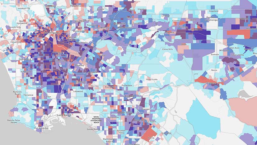
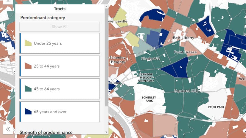
Four new layers in ArcGIS Living Atlas of the World contain American Community Survey (ACS) data about children and senior citizens.
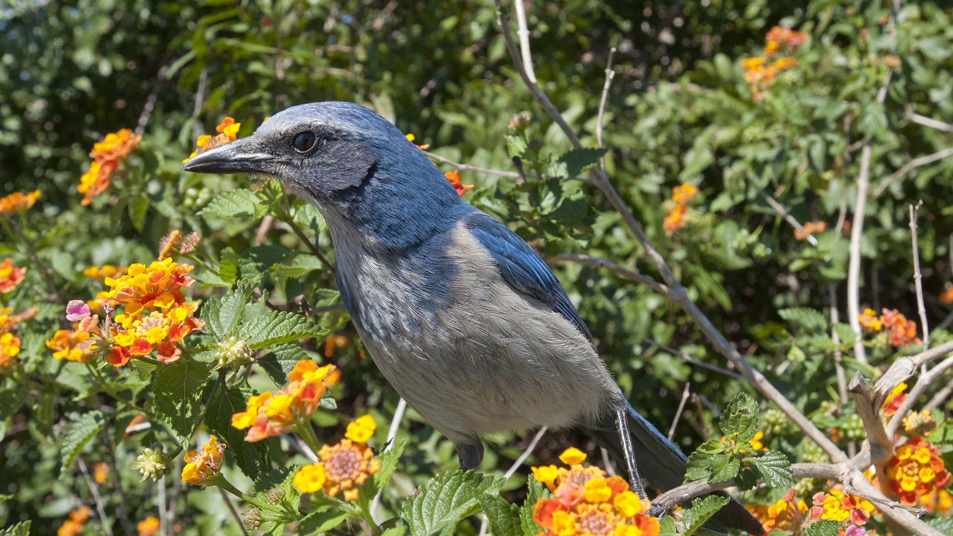
NatureServe recently released its Map of Biodiversity Importance, accessible via ArcGIS Living Atlas of the World.
When you create a new map using ArcGIS Online, you can choose which basemap you want from the basemap gallery.
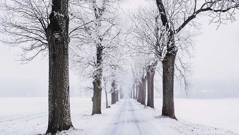
During snowy, windy and icy conditions, it’s best to turn to these five weather maps, available in the ArcGIS Living Atlas of the World.
Updates to the American Community Survey are available and can be accessed via maps in ArcGIS Living Atlas of the World.