Create Your First Python Script in Three Minutes
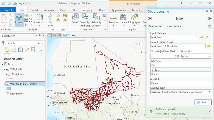
Travis Ormsby from shares a quick trick to script an ArcGIS Pro geoprocessing task. He uses the Copy Python Command in ArcGIS Pro to do this.
Travis Ormsby from shares a quick trick to script an ArcGIS Pro geoprocessing task. He uses the Copy Python Command in ArcGIS Pro to do this.
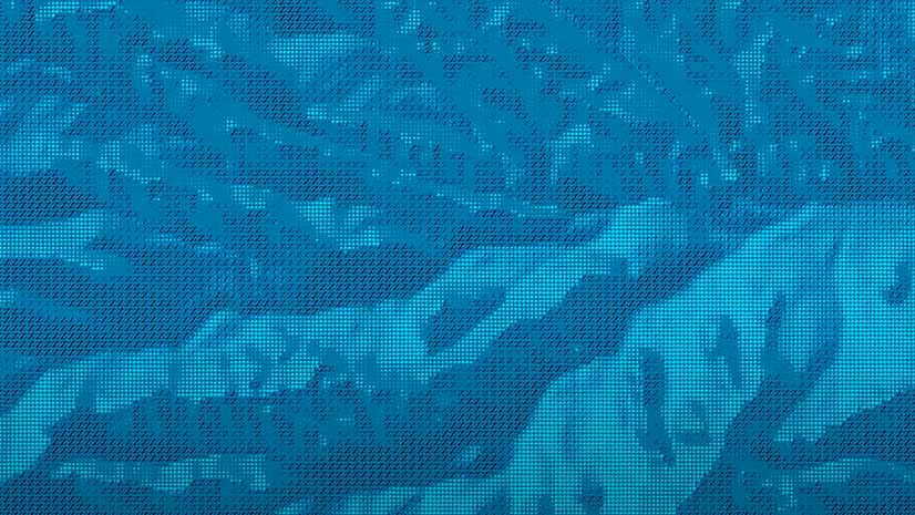
Esri cartographer John Nelson demonstrates how to make a hillshade with a pebbly look.
The Geodesign Summit highlighted sustainable projects such as the multi-billion dollar Meridian Water housing and jobs development in London.
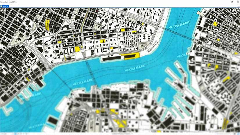
Learn how to create watermarks using Microsoft Paint or PowerPoint and add them to your ArcGIS Pro Map. Watermarks protect your map.
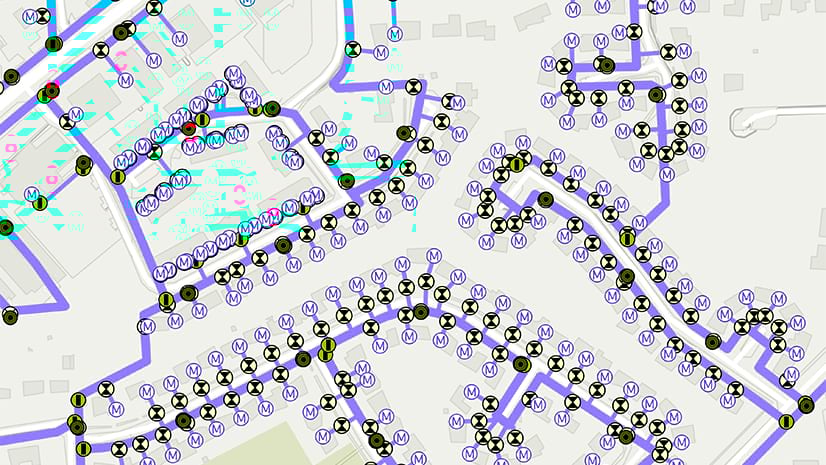
Learn how to ensure an accurate enterprise GIS database while enabling multiple staff members to edit data at the same time.
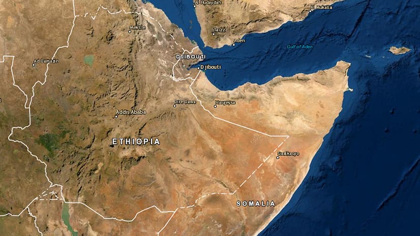
Use the Change Detection Wizard in ArcGIS Pro to analyze land cover change in Ethiopia, which is suffering from vegetation loss due to locusts.
Learn how to turn a basemap into a grayscale or monochrome basemap using ArcGIS Pro or MapViewer Beta in ArcGIS Online.
Location data recorded by ArcGIS Tracker or ArcGIS Field Maps can be turned into animations in ArcGIS Pro. Learn how to do this.
Esri cartographer John Nelson shows you a relatively easy way to make a size comparison map in ArcGIS Pro.
Be more productive with an ArcGIS Pro license packaged with a Dell Workstation or Rugged Tablet.
Esri cartographer John Nelson shows you how import your own symbol graphics into ArcGIS Pro, tint them, and then create shadows for them.
ArcGIS Pro now includes new layer and feature blending modes, movement analysis tools, and 3D object feature layers.