Adding in a bit of terrain texture into your maps helps add important geographic context. There is an abyss of pleasure to fall into when it comes to hillshade, but we’ll cover a method that creates a newsprint-y halftone-ish sort of dotted hillshade. Then we’ll use blend modes to make them sink into the background for a charming and perhaps-helpful representation of topography that you can try out in your own maps.
0:00 Overcaffeinated intro
0:20 Bryce Canyon DEM (one of Tom Patterson’s archetypal DEMs -helpful baselines, so we can compare nerdy hillshade notes)
0:55 The magic and glories of raster functions. We’ll do a simple hillshade.
1:10 Learn about hoodoos right now; we’ll wait.
1:45 Hmmm, applying Vector Field symbology to a raster hillshade? Sure!
2:00 Playing with symbol size and spacing (resolution) for a vectorized look at terrain.
3:45 Changing symbol shape and color. The result is more of a hillshine than hillshade.
4:05 Duplicating the layer (ctrl-drag) because we want to make a shade version too.
4:27 Shameless Star Wars reference. Forgive me.
4:45 Opening up the raster function formula to sneak in a DEM-inverting trick.
6:20 The result is a hillshade of an inverted DEM.
I realized only after the video that I could have just got the same result by skipping the inversion trick, and just reversing the light source of my hillshade. Sigh. I could have, for the second hillshade, just changed the sun azimuth from 315 (northwest light source) to 135 (southeast light source) and got the same result. At least this way we got some experience with editing function chains though right? Live and learn, friends!
6:40 Applying a vector field symbology with dark symbols, to represent shaded areas.
7:25 Changing the solid-fill symbols to gradient-fill symbols to make them snazzier and bumpier looking.
9:45 Turning it up to 11 with some blend modes on a color background. Because blend modes. And Turning things up to 11.
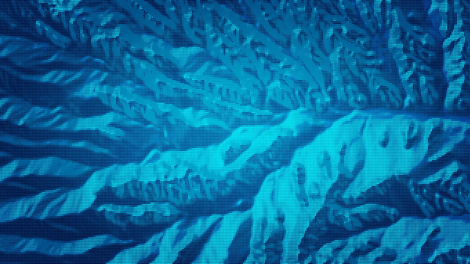
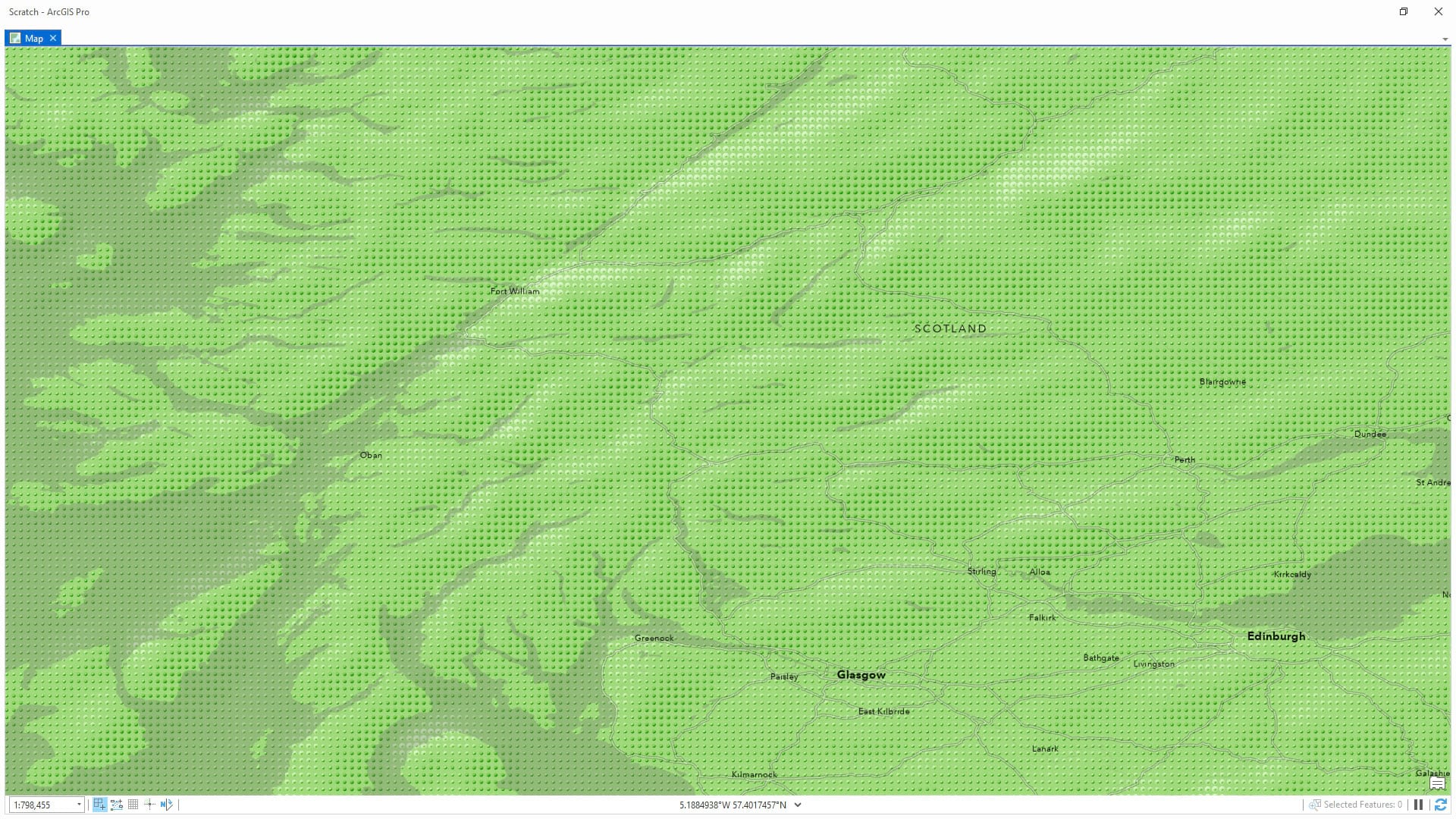
Well that’s it, friends! Try your hand at some pebbled hillshade. Here are a couple of examples…


If you try this out on your own digital elevation model we sure would love to see them; comment a link to your pebbly shade masterpieces!


Article Discussion: