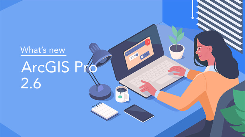
Advance your GIS capabilities with the all-new release of ArcGIS Pro. Discover your inner designer with new layer blending modes or create advanced imagery with the new 3D objects feature layers. Below, catch up on all the new features within ArcGIS Pro through our What’s New in ArcGIS Pro 2.7 video, or please continue reading to discover just a few highlights of this recent update. To read what’s new within ArcGIS Pro 2.7 feel free to click the link here.
Layer and Feature Blending
As mentioned above, you can now apply blending modes to layers in your map-based projects. Brighten or darken a layer to bring attention to the highs or lows of a map’s various ranges of color. Commonly used in image editing and graphic design workflows, blending modes can enhance the visualization of features and change the way you design maps for publication. This level of detail can really enhance ArcGIS Pro user designers to not only meet their needs and requirements but those of their customers as well.

3D Object Feature Layers
3D object feature classes are a new data type in ArcGIS Pro 2.7. Like multipatches, 3D objects represent the outer shells of features that occupy 3D space, but they have a richer set of properties. For example, they can display characteristics such as reflection, shadowing, and roughness. 3D object feature classes are stored in a file, enterprise, or mobile geodatabase. File geodatabase 3D object features can be opened and edited directly in a number of third-party modeling applications, including Maya and Blender. Expand your design potentially today with the new 3D object feature layer data type today.

GNSS Device Location Support
You can connect a GNSS (GPS) device, a global positioning device, to ArcGIS Pro to view the location of your device in a map or scene. A GNSS or GPS device allows you to determine your position on Earth within several meters or less. As you travel, the location of the device automatically updates within the view. When the location is turned on, you can create features based on the GNSS device’s current geographic location, or set up a point feature class to automatically log data from the device as your position updates. Save time and energy while being more efficient in your data collecting now within Pro.

ArcGIS Pro has a ton of new and exciting tools for users to learn and incorporate into their daily workflows. Be sure to view our video above, or catch up with all the Pro 2.7 updates on our website at your leisure. Not yet an ArcGIS Pro user?? That’s fine, feel free to try ArcGIS Pro yourself through our ArcGIS Pro Trial below.

Article Discussion: