Share a 3D Scene in a Presentation
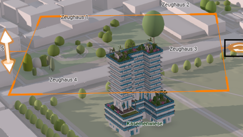
Learn how to turn a 3D web scene into a guided presentation that people can use to explore your story.
Learn how to turn a 3D web scene into a guided presentation that people can use to explore your story.
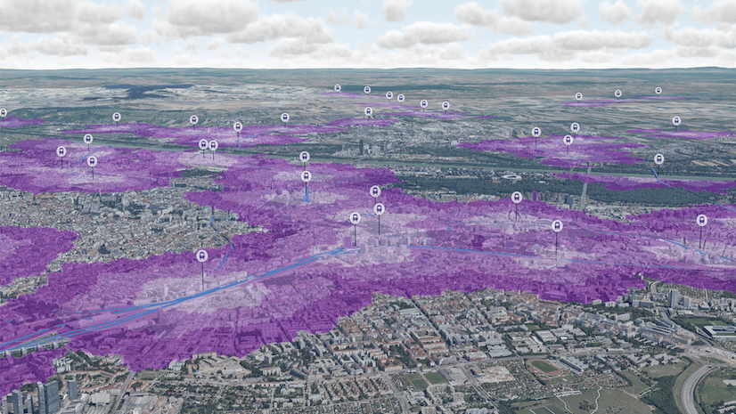
Discover how to use Scene Viewer Analysis tools to enhance 3D data.
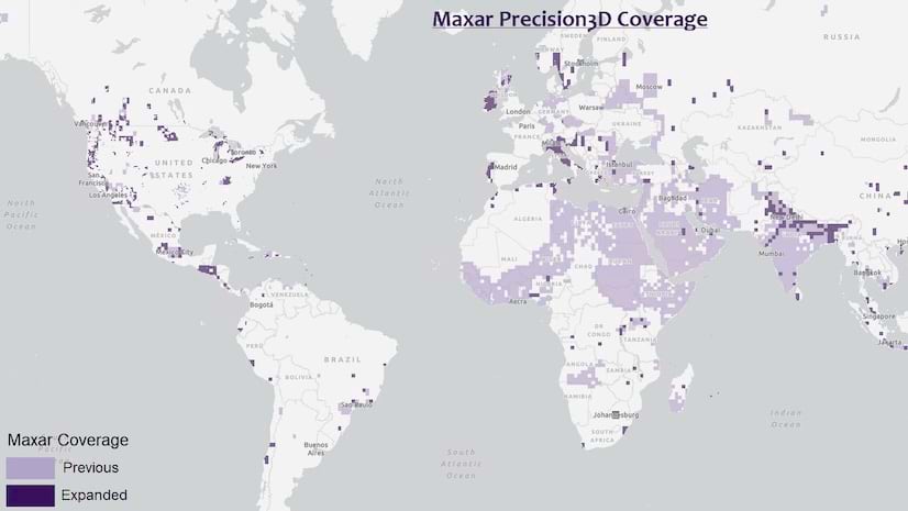
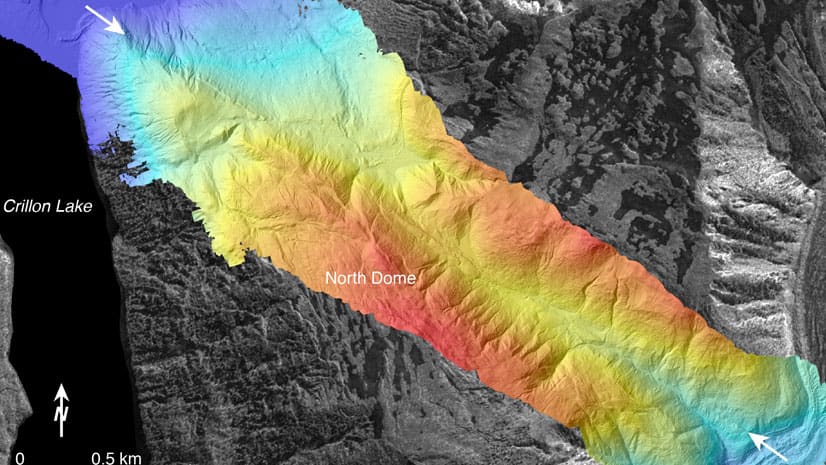
Esri continues its integration of Maxar’s Precision3D data in elevation layers.
Discover the role of GIS, geodesign, and digital twins in making cities smarter in the future.
Get a two-minute overview of Scene Viewer in ArcGIS Online, which gives you the ability to visualize and analyze 2D and 3D information.
In this Learn ArcGIS lesson, you will learn to turn 2D tree data into 3D scenes of trees using Scene Viewer in ArcGIS Online.
Learn basic lidar concepts and best practices to manage, edit, visualize and share lidar-derived 2D and 3D information products using ArcGIS Pro.
You can tap the app's globe to identify features, take pictures when creating a tour, and more.
Speakers at the upcoming Geodesign Summit will tackle questions such as how geodesign can solve the 21st century's most pressing problems.
Esri’s Chris Andrews and Don Kuehne talk about why integrating GIS and building information modeling (BIM) technologies is important.
Planning for the future will require innovative technologies and design ideas, which will be topics of discussion at the 2019 Geodesign Summit.
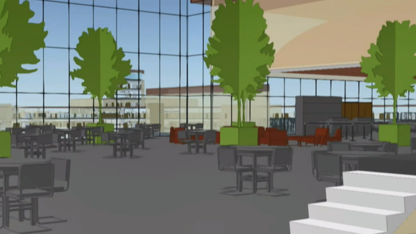
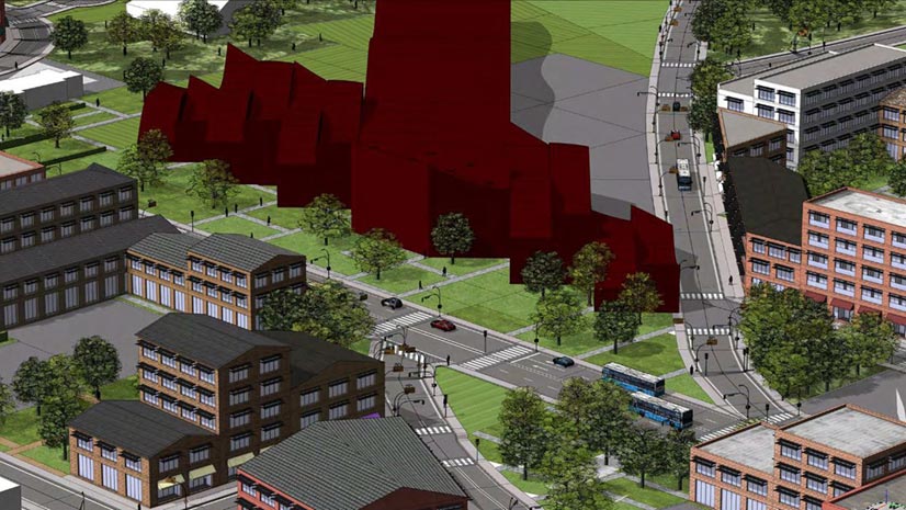
Follow these steps to prepare your data for use in Esri CityEngine, the software that gives you the ability to create a 3D model of a real city.