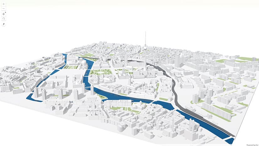
Explore a 3D App of the Ocean
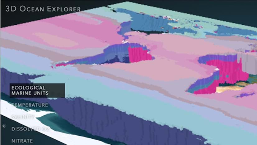
In this 10-minute tutorial, learn how 3D scenes and interactive controls allow for greater data exploration with the 3D Ocean Explorer app.
In this 10-minute tutorial, learn how 3D scenes and interactive controls allow for greater data exploration with the 3D Ocean Explorer app.
GIS technology and community collaboration map snow leopard habitats, analyze their movements, and develop sustainable conservation strategies.
A home warranty company uses state-of-the-art GIS technology for its residential structural claim evaluations.
Learn how the Offline mapping apps guide helps developers build applications that work where there is limited or no connectivity.
In this course, learn about the types of data that are used to model the world in 3D scenes, including functional surfaces and 3D feature types.
Add context to your scenes with the new OpenStreetMap layers from ArcGIS Living Atlas of the World.
See why the Swiss Federal Institute of Technology (ETH Zürich) is a leader in educating students in cartography and geoinformation.
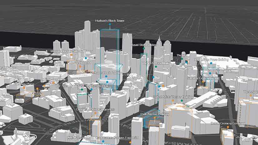
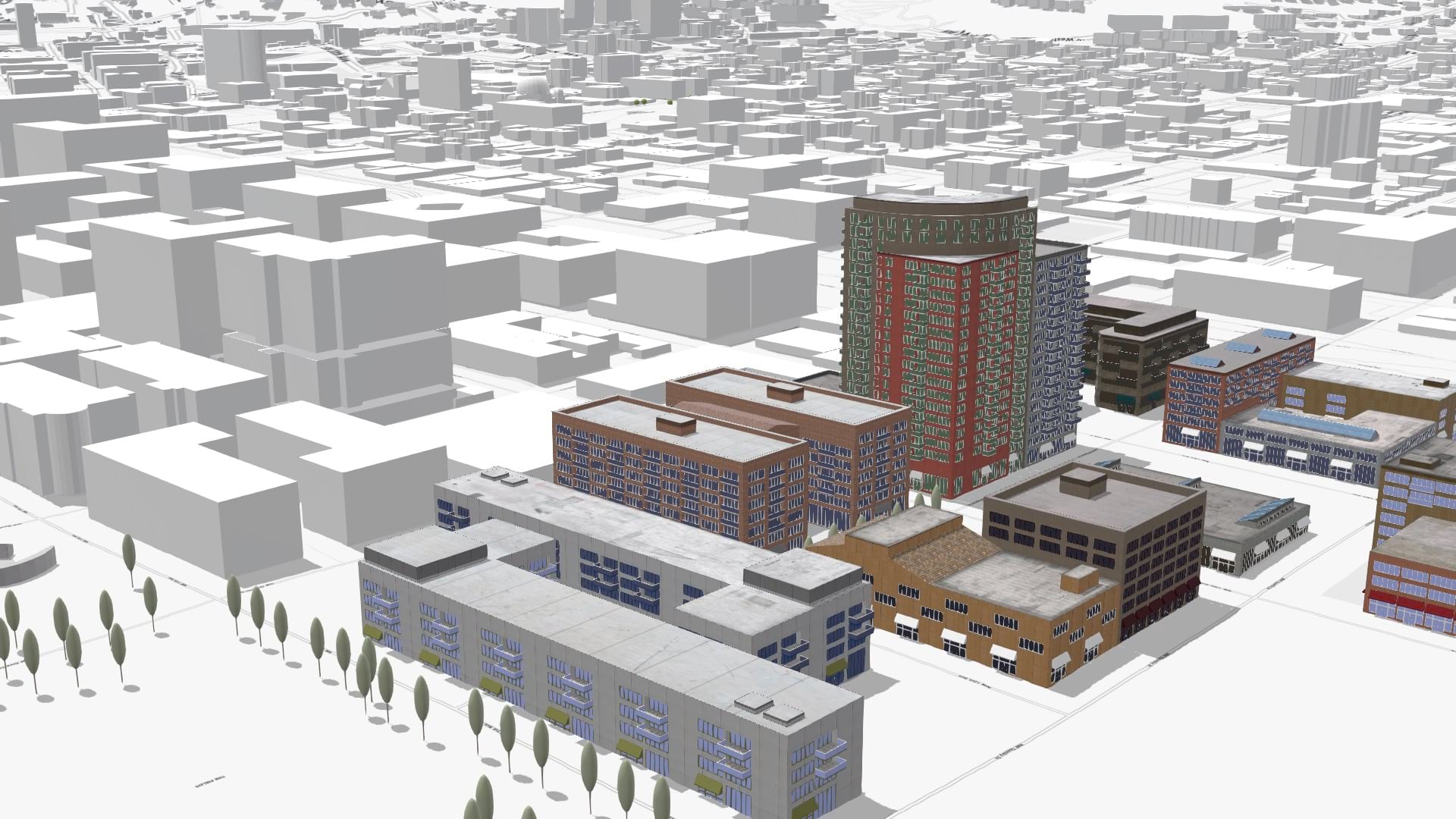
ArcGIS Pro now includes new layer and feature blending modes, movement analysis tools, and 3D object feature layers.
Join Stefan Arisona from the Zurich R & D Center for a fascinating introduction to building game engine experiences with ArcGIS CityEngine.
When working in 3D, you need to define a point or ‘camera’ in the 3D space from where you want people to view the scene. Learn how to do this.