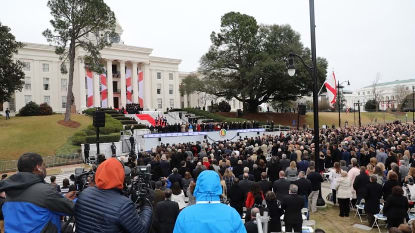
January 30, 2024 | Multiple Authors | Public Safety Alabama: Advancing Public Safety with High-Tech Maps and Shared Awareness
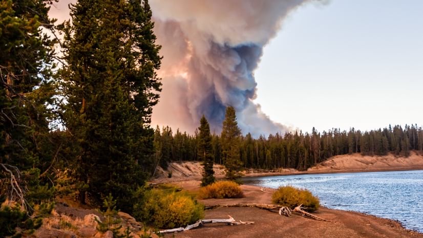
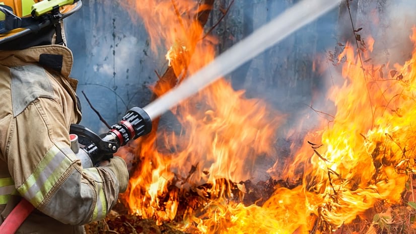
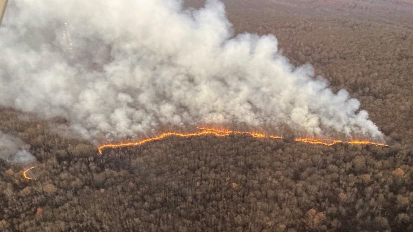
August 2, 2022 | Anthony Schultz | Public Safety Real-time Wildfire Awareness Emerges from Firefighter Cloud Collaboration
April 28, 2022 | Ryan Lanclos | Public Safety How Visualizing Ice Storm Damage Aided Salem’s Emergency Response
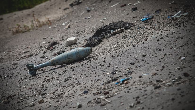
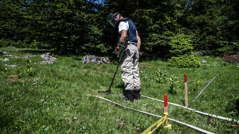
April 12, 2022 | Multiple Authors | Public Safety Ukraine: The HALO Trust Maps Landmines and Explosive Remnants of War
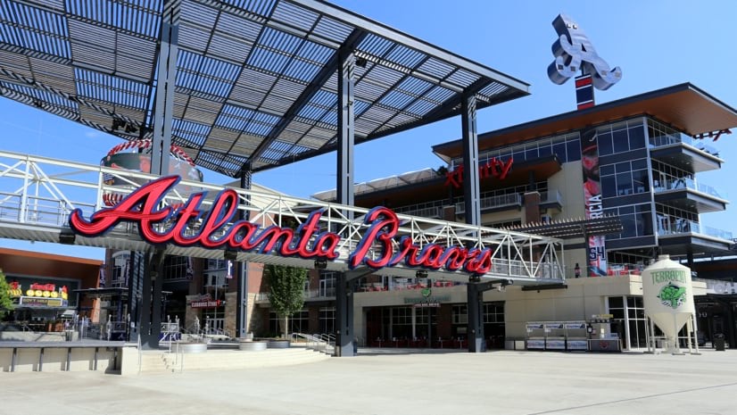
February 1, 2022 | Carl Walter | Public Safety Cobb County Secures World Series with Real-time Location Technology
December 13, 2021 | Kimberly Hartley | Public Safety The Ways We Fight Wildfires Are Changing, So Will the Forests Themselves
October 26, 2021 | John Beck | Public Safety St. Louis Police Share Maps, Apps and Dashboards to Improve Public Safety
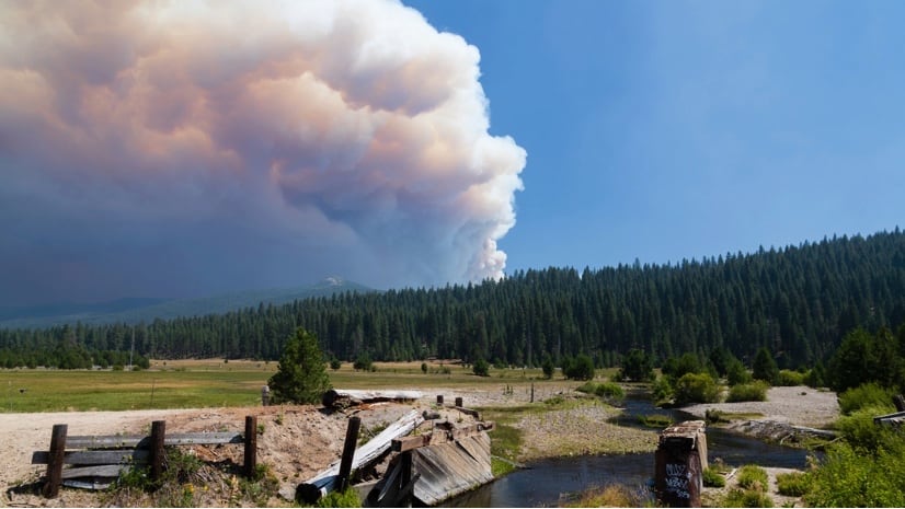
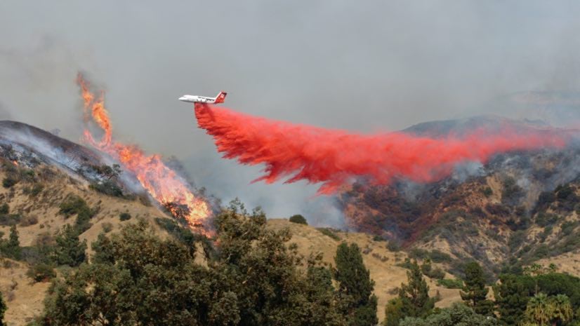
October 18, 2021 | Ryan Lanclos | Public Safety CAL FIRE Applies New Predictive and Tactical Tools to Fight Ferocious Fires
September 22, 2021 | Mike Cox | Public Safety Fire Safety Benefits from Digital Transformation—Missouri
September 10, 2021 | Multiple Authors | Public Safety A Look Back: How a GIS Team Guided Response and Recovery After 9/11
June 15, 2021 | David LaShell | Public Safety Parades and Special Events: Operational Intelligence and Data Fusion
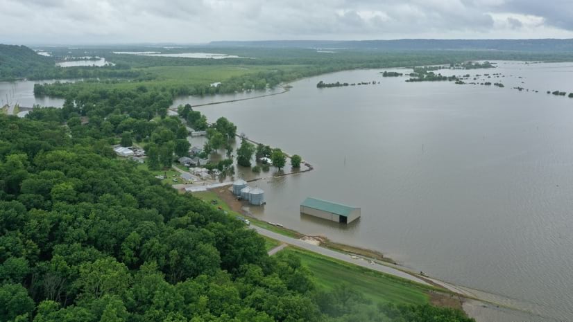
April 14, 2021 | Ryan Lanclos | Public Safety How Technology and GIS Students Aided Response to the Great Flood of 2019
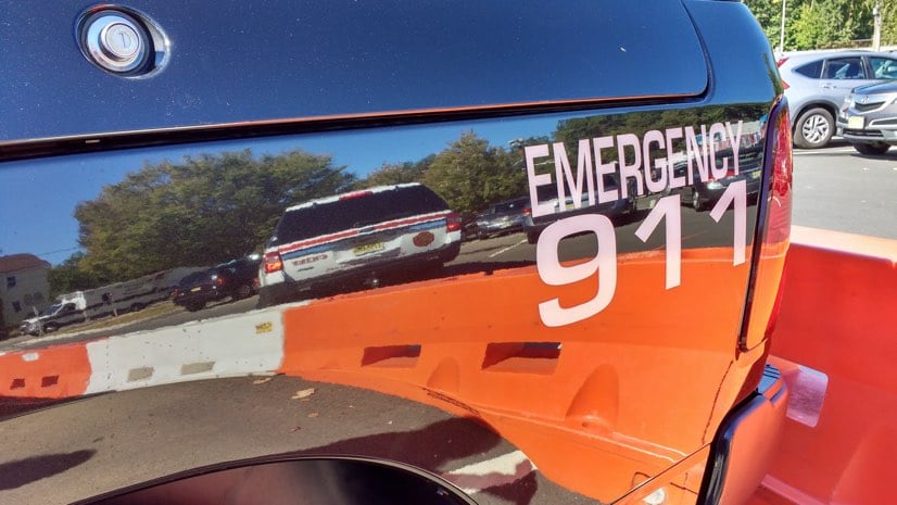
February 9, 2021 | Brooks Shannon | Public Safety To Find People in Crisis, Illinois Rolls Out Next Generation 911
January 12, 2021 | Mike Bialousz | Public Safety Real-Time Tool Transforms Wildfire Field Operations in Pennsylvania
November 19, 2020 | Ryan Lanclos | Public Safety UN’s Urban Search and Rescue Network Gains New Awareness After the Beirut Blast
October 27, 2020 | Ben Conklin | Public Safety In Back-to-Back Hurricanes, Louisiana National Guard Calls on Predictive Model
October 20, 2020 | Mike Cox | Public Safety #FireMappers Volunteers Keep Tabs on Quickly Spreading Wildfires
July 7, 2020 | Mike Cox | GIS for Good COVID-19: Firefighters Turn to Apps, Maps and Dashboards to Communicate and Act
June 2, 2020 | Este Geraghty, MD, MS, MPH, GISP | GIS for Good COVID-19: Five Spatial Approaches to Safely Reopen
March 4, 2020 | Ryan Lanclos | GIS for Good Remnants of War: Smart Maps Help Teams Locate and Remove Land Mines
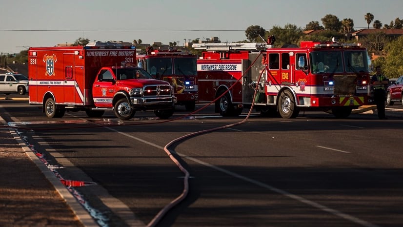
February 20, 2020 | Mike Cox | Public Safety Northwest Fire District Embraces Apps to Better Prepare for Emergencies