March 12, 2026 |
Carrie Speranza
| Public Safety
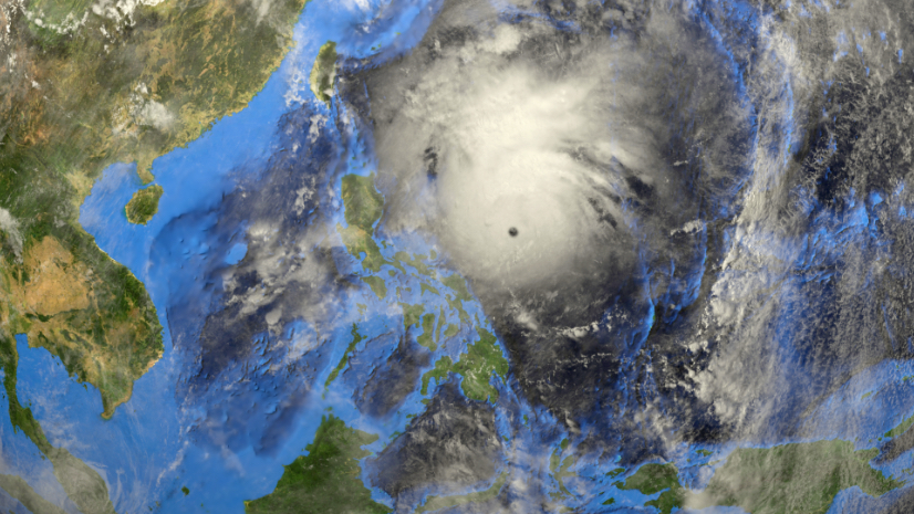
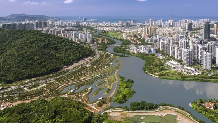
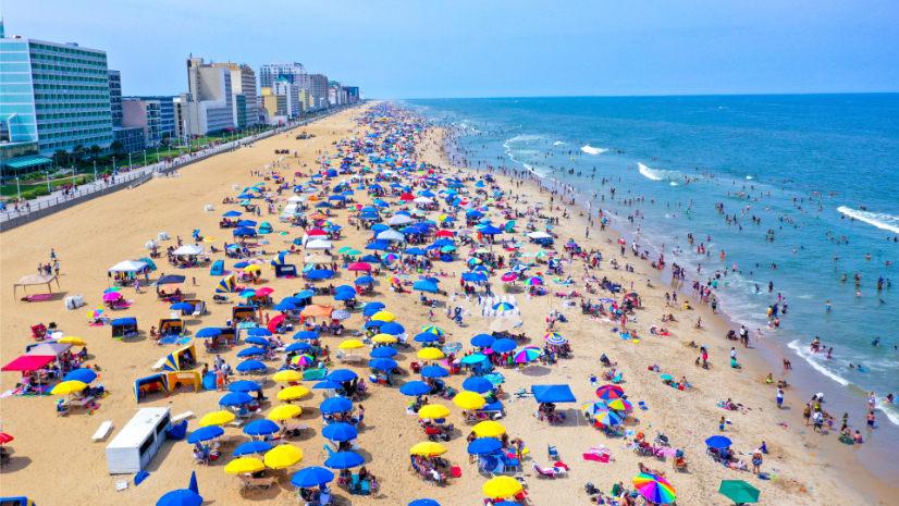
Organizations use GIS to reduce risk and adapt to environmental change. It helps communities map vulnerabilities, model future scenarios, and design more sustainable infrastructure systems.
April 7, 2026 |
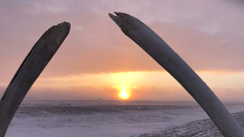
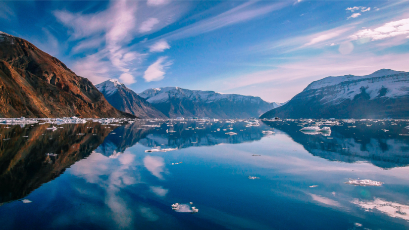
Researchers map the seabed of northern Greenland’s fjords, revealing glacier dynamics, climate impacts, and measuring sea-level rise.