March 24, 2026 |
Multiple Authors
| Conservation
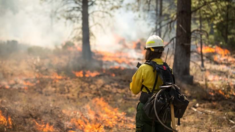
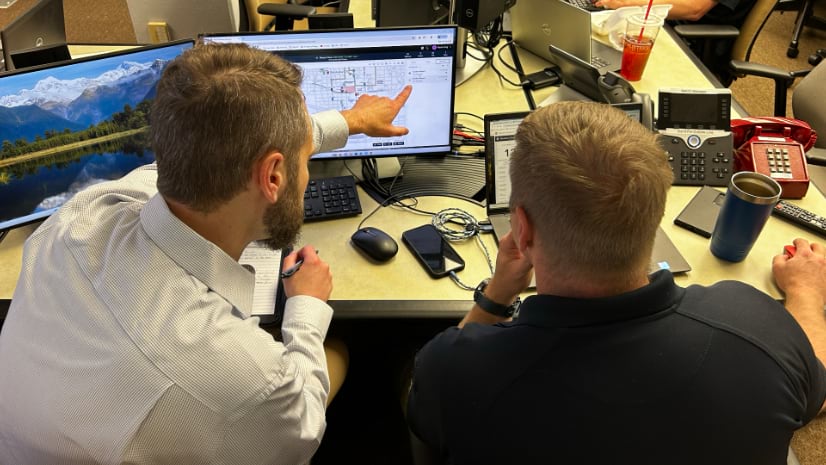
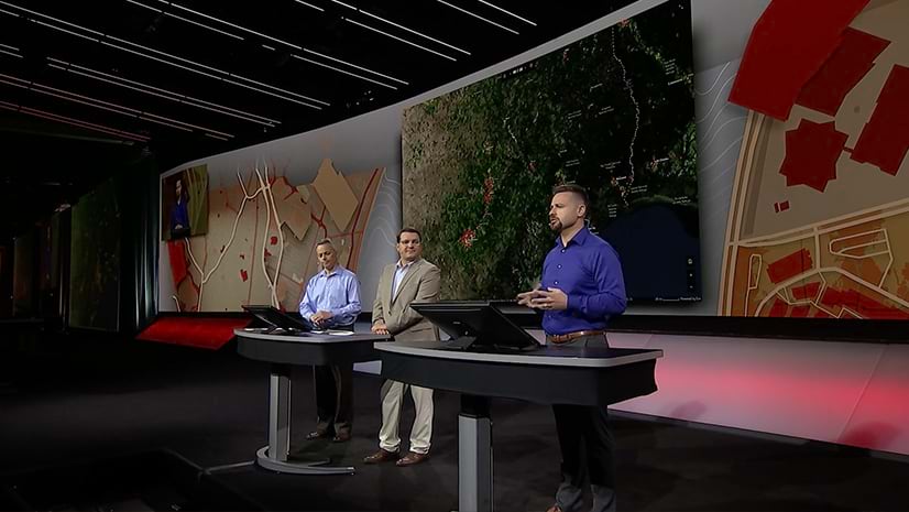
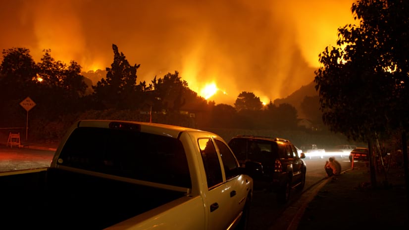
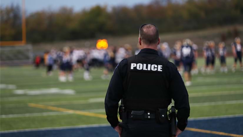
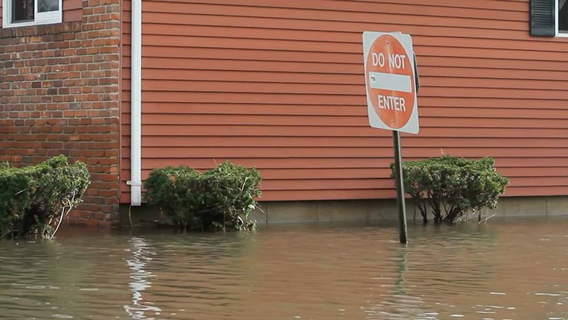
Law enforcement, emergency managers, and fire responders use GIS to get real-time insights that support mission-critical decisions and help protect communities from complex threats and hazards.
March 31, 2026 |
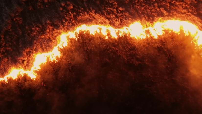
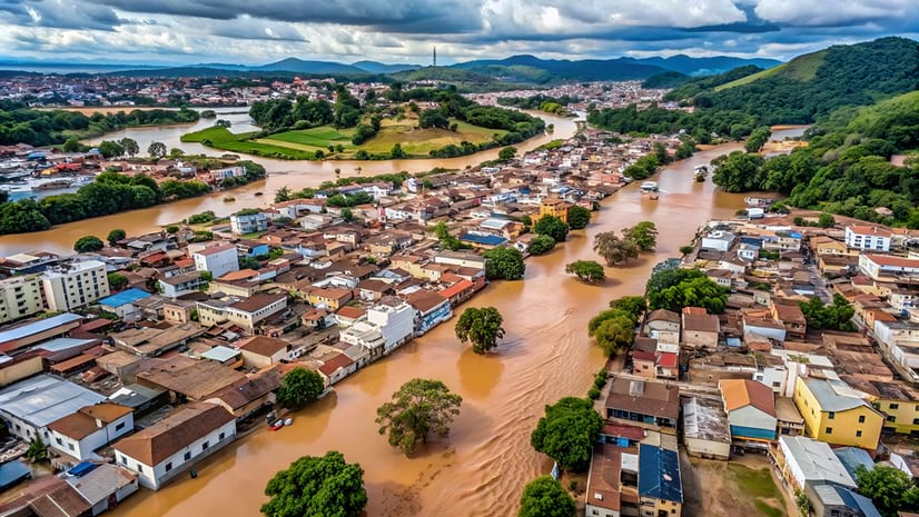
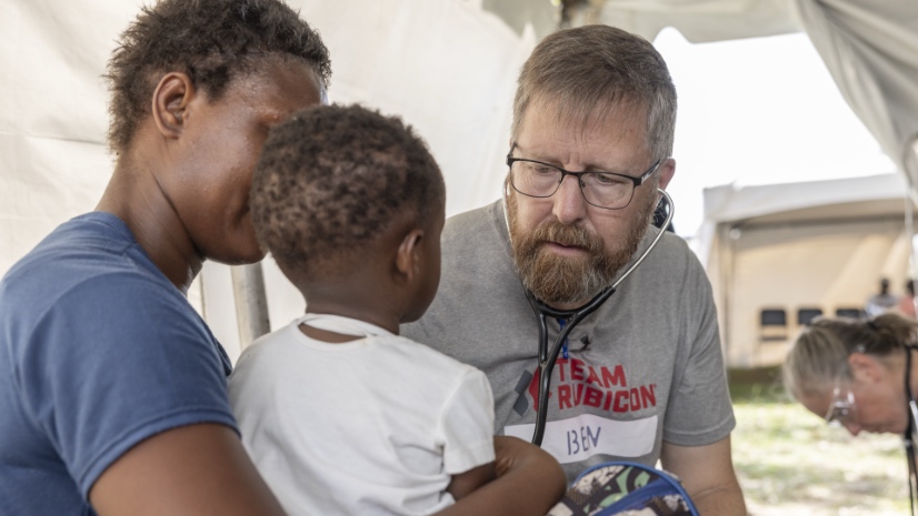
When Hurricane Melissa devastated Jamaica, Team Rubicon showed how geospatial technology can turn disaster chaos into coordinated action.