February 26, 2026 |
Katie Olson
| Infrastructure
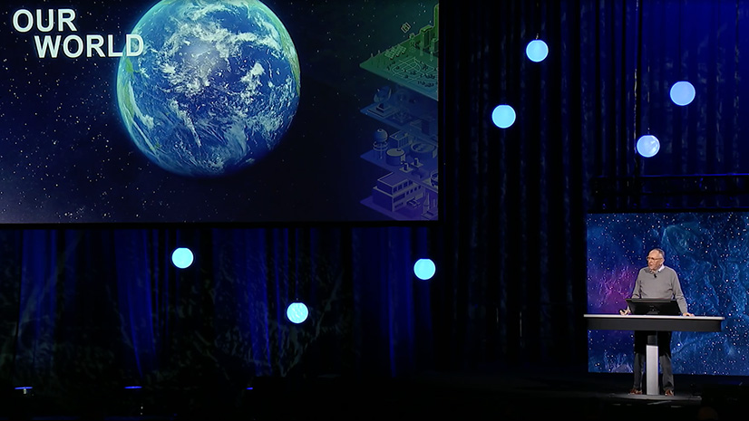
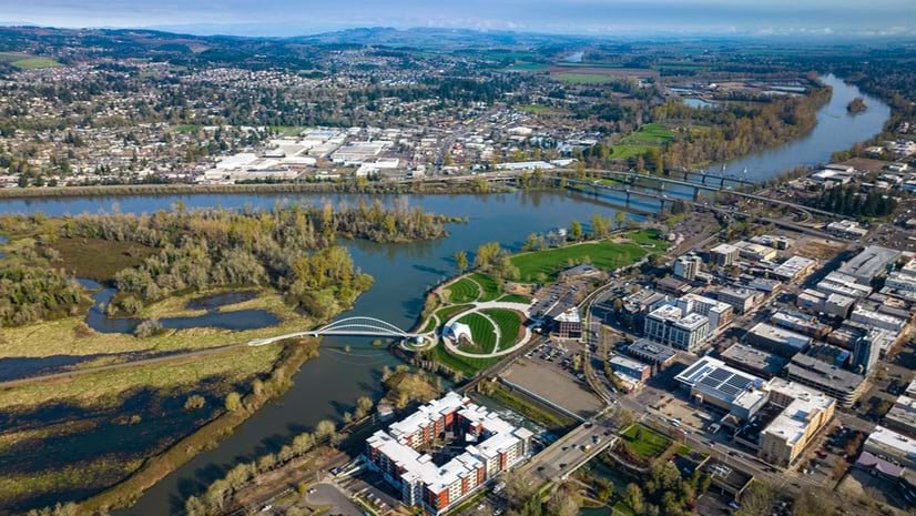
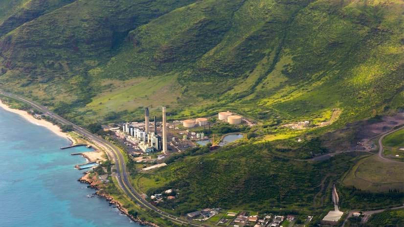
Professionals in transportation, utilities, and public works apply GIS to plan, manage, develop, operate and maintain infrastructure effectively. Increasingly, this work involves sensing and the shared awareness of a geospatial digital twin.

May 15, 2026 |
Multiple Authors |
Learn how Pattern Energy coordinated America’s largest wind project, managing thousands of workers and environmental compliance across 551 miles.