Infrastructure
Professionals in transportation, utilities, and public works apply GIS to plan, manage, develop, operate and maintain infrastructure effectively. Increasingly, this work involves sensing and the shared awareness of a geospatial digital twin.
October 13, 2026 |
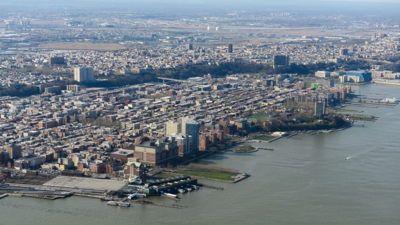
The City of Hoboken uses GIS to reduce traffic risks, manage flood resilience, and coordinate investments that improve safety and mobility.